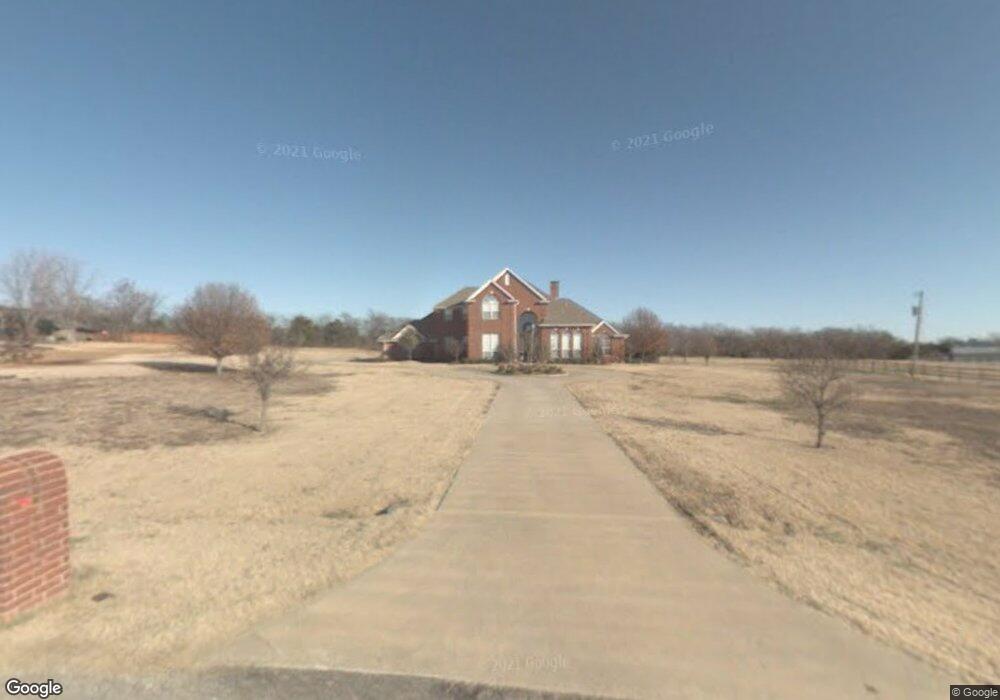
108 Sand Creek Cir Sherman, TX 75092
Estimated Value: $605,000 - $792,000
--
Bed
--
Bath
3,894
Sq Ft
$183/Sq Ft
Est. Value
About This Home
This home is located at 108 Sand Creek Cir, Sherman, TX 75092 and is currently estimated at $711,581, approximately $182 per square foot. 108 Sand Creek Cir is a home located in Grayson County with nearby schools including Henry W. Sory Elementary School, Piner Middle School, and Dillingham Intermediate School.
Ownership History
Date
Name
Owned For
Owner Type
Purchase Details
Closed on
Jun 19, 2006
Sold by
Fontaine Barry Andrew and Fontaine Laura Smith
Bought by
Long Clinton A and Long Leah E
Current Estimated Value
Home Financials for this Owner
Home Financials are based on the most recent Mortgage that was taken out on this home.
Original Mortgage
$40,500
Outstanding Balance
$23,824
Interest Rate
6.58%
Mortgage Type
Stand Alone Second
Estimated Equity
$687,757
Create a Home Valuation Report for This Property
The Home Valuation Report is an in-depth analysis detailing your home's value as well as a comparison with similar homes in the area
Home Values in the Area
Average Home Value in this Area
Purchase History
| Date | Buyer | Sale Price | Title Company |
|---|---|---|---|
| Long Clinton A | -- | Security Title |
Source: Public Records
Mortgage History
| Date | Status | Borrower | Loan Amount |
|---|---|---|---|
| Open | Long Clinton A | $40,500 | |
| Open | Long Clinton A | $324,000 |
Source: Public Records
Tax History Compared to Growth
Tax History
| Year | Tax Paid | Tax Assessment Tax Assessment Total Assessment is a certain percentage of the fair market value that is determined by local assessors to be the total taxable value of land and additions on the property. | Land | Improvement |
|---|---|---|---|---|
| 2025 | $5,783 | $721,125 | $182,952 | $538,173 |
| 2024 | $12,255 | $725,570 | $176,418 | $549,152 |
| 2023 | $5,600 | $684,301 | $0 | $0 |
| 2022 | $9,906 | $527,592 | $0 | $0 |
| 2021 | $9,699 | $479,629 | $144,000 | $335,629 |
| 2020 | $9,346 | $488,689 | $144,000 | $344,689 |
| 2019 | $8,945 | $393,425 | $45,000 | $348,425 |
| 2018 | $7,816 | $374,429 | $45,000 | $329,429 |
| 2017 | $7,526 | $358,160 | $42,000 | $316,160 |
| 2016 | $7,607 | $362,019 | $42,000 | $320,019 |
| 2015 | $6,517 | $366,617 | $42,000 | $324,617 |
| 2014 | $6,578 | $345,756 | $42,000 | $303,756 |
Source: Public Records
Map
Nearby Homes
- 1706 Norwood St
- 3071 W Washington St
- 2910 Wellington Dr
- 2802 Spring Lake Dr
- 1913 Heritage Knoll Dr
- 1912 Heritage Knoll Dr
- 1720 Heritage Knoll Dr
- 2705 Spring Lake Dr
- 2217 Norwood St
- 2710 Stonecrest Dr
- 2715 Stonecrest Dr
- 2714 Stonecrest Dr
- TBD Heritage Knoll -26 Lots
- 2806 Spring Lake Dr
- 1809 Heritage Creek Dr
- 1605 Heritage Creek Dr
- 1905 Norwood St
- 2220 Trailside Dr
- 2224 Trailside Dr
- 2228 Trailside Dr
- 138 Sand Creek Cir
- 60 Sand Creek Cir
- 60 Sand Creek Cir
- 168 Sand Creek Cir
- 4000 W Washington St
- 244 Sand Creek Cir
- 288 Sand Creek Cir
- 218 Sand Creek Cir
- 400 Sand Creek Cir
- 262 Sand Creek Cir
- 2.5 AC W Washington St
- 306 Sand Creek Cir
- 56 Friendship Rd
- 3685 W Washington St
- 95AC Friendship Rd
- 225 Friendship Rd
- 633-635 Friendship Rd
- 3500 Montclair Dr
- 211 Montclair Dr
- 369 Friendship Rd