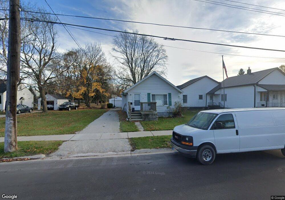
108 Taylor St Port Huron, MI 48060
Estimated Value: $135,000 - $181,057
3
Beds
1
Bath
1,883
Sq Ft
$81/Sq Ft
Est. Value
About This Home
This home is located at 108 Taylor St, Port Huron, MI 48060 and is currently estimated at $152,014, approximately $80 per square foot. 108 Taylor St is a home located in St. Clair County with nearby schools including H.D. Crull Elementary School, Holland Woods Middle School, and Port Huron High School.
Ownership History
Date
Name
Owned For
Owner Type
Purchase Details
Closed on
Apr 7, 2022
Sold by
Shoreline Property Group Llc
Bought by
Ff & R Llc
Current Estimated Value
Purchase Details
Closed on
Dec 17, 2018
Sold by
Mcneill Murray F
Bought by
Shoreline Property Group Llc
Purchase Details
Closed on
Jun 25, 2008
Sold by
Us Bank National Association
Bought by
Mcneil Murray F
Purchase Details
Closed on
Nov 1, 2007
Sold by
Holdinski Athena
Bought by
U S Bank National Association
Create a Home Valuation Report for This Property
The Home Valuation Report is an in-depth analysis detailing your home's value as well as a comparison with similar homes in the area
Home Values in the Area
Average Home Value in this Area
Purchase History
| Date | Buyer | Sale Price | Title Company |
|---|---|---|---|
| Ff & R Llc | $1,650,000 | Touma Watson Whaling Coury & S | |
| Shoreline Property Group Llc | -- | None Listed On Document | |
| Mcneill Robert | $292,653 | None Listed On Document | |
| Mcneil Murray F | $32,400 | Title Agency Llc | |
| U S Bank National Association | $61,500 | None Available |
Source: Public Records
Tax History Compared to Growth
Tax History
| Year | Tax Paid | Tax Assessment Tax Assessment Total Assessment is a certain percentage of the fair market value that is determined by local assessors to be the total taxable value of land and additions on the property. | Land | Improvement |
|---|---|---|---|---|
| 2025 | $3,431 | $59,600 | $0 | $0 |
| 2024 | $3,074 | $54,700 | $0 | $0 |
| 2023 | $2,911 | $49,500 | $0 | $0 |
| 2022 | $1,549 | $38,100 | $0 | $0 |
| 2021 | $1,590 | $34,200 | $0 | $0 |
| 2020 | $1,546 | $29,500 | $29,500 | $0 |
| 2019 | $1,525 | $22,300 | $0 | $0 |
| 2018 | $1,493 | $22,300 | $0 | $0 |
| 2017 | $1,316 | $22,300 | $0 | $0 |
| 2016 | $1,214 | $22,300 | $0 | $0 |
| 2015 | $1,169 | $21,600 | $21,600 | $0 |
| 2014 | $1,169 | $21,700 | $21,700 | $0 |
| 2013 | -- | $22,800 | $0 | $0 |
Source: Public Records
Map
Nearby Homes
- 1825 Kern St
- 1819 Kern St
- 146 Taylor St
- 00 Campau Ave
- 0000 Campau Ave
- V/L #4 Water St
- V/L #6 Water St
- V/L #5 Water St
- V/L #8 Water St
- V/L #3 Water St
- 0000 Water St
- 0000 Henry St
- 1434 Nelson St
- 0000 Manuel St
- 1617 Francis St
- 1321 Nelson St
- 1423 Francis St
- 423 16th St
- 1819 Riverside Dr
- 1649 Whipple St
- 114 Taylor St
- 113 Taylor St
- 53 Taylor St
- 50 Taylor St
- 46 Taylor St
- 42 Taylor St
- 109 Taylor St
- 112 Taylor St
- 29 Taylor St
- 117 Taylor St
- 24 Taylor St
- 27 Taylor St
- 119 Taylor St
- 122 Taylor St
- 155 Taylor St
- 159 Taylor St Unit Bldg-Unit
- 159 Taylor St Unit 12
- 161 Taylor St Unit 11
- 163 Taylor St Unit 10
- 165 Taylor St Unit 9