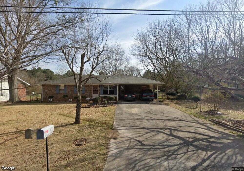
108 Thornton Dr Unit 1 Jonesboro, GA 30236
Estimated Value: $166,720 - $215,000
3
Beds
2
Baths
1,172
Sq Ft
$167/Sq Ft
Est. Value
About This Home
This home is located at 108 Thornton Dr Unit 1, Jonesboro, GA 30236 and is currently estimated at $195,180, approximately $166 per square foot. 108 Thornton Dr Unit 1 is a home located in Clayton County with nearby schools including Suder Elementary School, Mundys Mill Middle School, and Jonesboro High School.
Ownership History
Date
Name
Owned For
Owner Type
Purchase Details
Closed on
Aug 16, 2002
Sold by
Brown Frank C and Brown Doris M
Bought by
To Sarun
Current Estimated Value
Home Financials for this Owner
Home Financials are based on the most recent Mortgage that was taken out on this home.
Original Mortgage
$84,118
Outstanding Balance
$35,212
Interest Rate
6.4%
Mortgage Type
FHA
Estimated Equity
$159,968
Purchase Details
Closed on
Oct 25, 2000
Sold by
Haney Barbara A
Bought by
Brown Frank C and Brown Doris M
Home Financials for this Owner
Home Financials are based on the most recent Mortgage that was taken out on this home.
Original Mortgage
$63,750
Interest Rate
7.94%
Mortgage Type
New Conventional
Create a Home Valuation Report for This Property
The Home Valuation Report is an in-depth analysis detailing your home's value as well as a comparison with similar homes in the area
Home Values in the Area
Average Home Value in this Area
Purchase History
| Date | Buyer | Sale Price | Title Company |
|---|---|---|---|
| To Sarun | $97,500 | -- | |
| Brown Frank C | $85,000 | -- |
Source: Public Records
Mortgage History
| Date | Status | Borrower | Loan Amount |
|---|---|---|---|
| Open | To Sarun | $84,118 | |
| Previous Owner | Brown Frank C | $63,750 |
Source: Public Records
Tax History Compared to Growth
Tax History
| Year | Tax Paid | Tax Assessment Tax Assessment Total Assessment is a certain percentage of the fair market value that is determined by local assessors to be the total taxable value of land and additions on the property. | Land | Improvement |
|---|---|---|---|---|
| 2024 | $988 | $60,920 | $7,200 | $53,720 |
| 2023 | $2,016 | $55,840 | $7,200 | $48,640 |
| 2022 | $1,378 | $45,120 | $7,200 | $37,920 |
| 2021 | $987 | $35,000 | $7,200 | $27,800 |
| 2020 | $933 | $33,340 | $7,200 | $26,140 |
| 2019 | $711 | $27,508 | $5,600 | $21,908 |
| 2018 | $689 | $26,971 | $5,600 | $21,371 |
| 2017 | $519 | $22,765 | $5,600 | $17,165 |
| 2016 | $508 | $22,489 | $5,600 | $16,889 |
| 2015 | $477 | $0 | $0 | $0 |
| 2014 | $270 | $16,778 | $6,400 | $10,378 |
Source: Public Records
Map
Nearby Homes
- 242 Lake Jodeco Rd
- 304 Mercer Dr
- 1485 Red Briar Way
- 116 Thornton Dr
- 1519 Red Briar Way
- 1457 Brownleaf Dr
- 57 Teal Trail NE
- 111 Teal Trail
- 1558 Thornwood Ct
- 8645 Embrey Dr
- 192 Cloud St
- 1433 Butler St
- 215 King St
- 9132 Endicott Place
- 135 Main St
- 1726 Sherry Ln
- 1738 Sherry Ln Unit 3
- 9124 Ogala Ct
- 8698 Twin Oaks Dr
- 106 Thornton Dr
- 110 Thornton Dr
- 106 Thorton
- 103 Mercer Ct
- 104 Thornton Dr
- 204 Porter Ln
- 107 Thornton Dr
- 107 Mercer Ct
- 206 Porter Ln
- 114 Elaine Terrace
- 105 Thornton Dr
- 102 Thornton Dr Unit 1
- 101 Mercer Ct
- 208 Porter Ln
- 109 Mercer Ct Unit 1
- 103 Thornton Dr
- 240 Lake Jodeco Rd
- 0 Porter Ln Unit 7040093
- 0 Porter Ln Unit 3239350
- 0 Porter Ln Unit 8532156