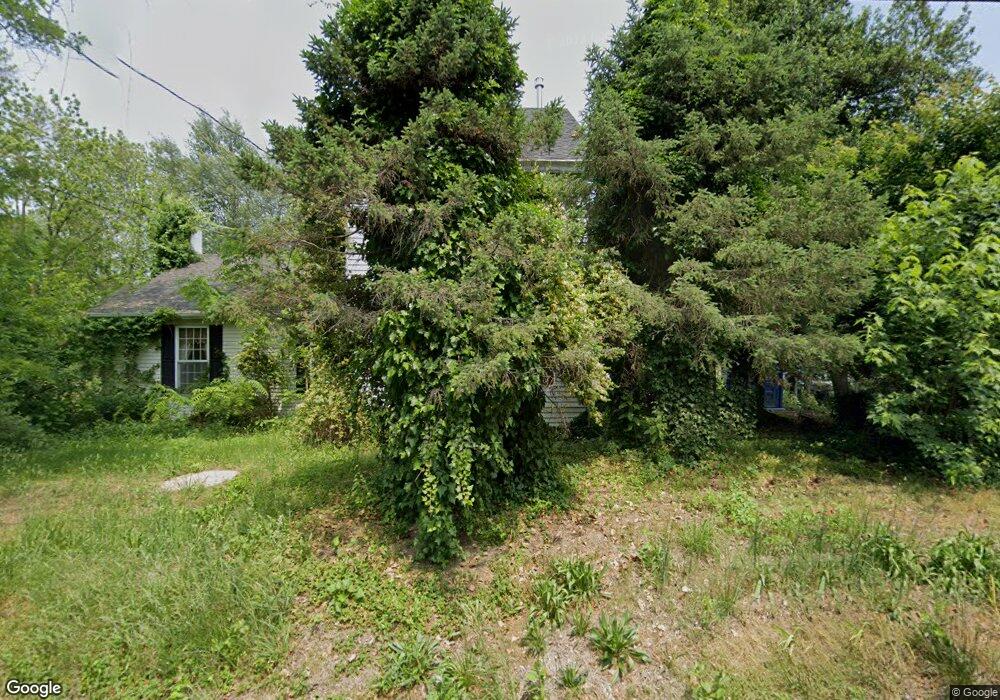
108 W Cohawkin Rd Clarksboro, NJ 08020
East Greenwich Township NeighborhoodEstimated Value: $435,000 - $658,000
4
Beds
3
Baths
2,348
Sq Ft
$221/Sq Ft
Est. Value
About This Home
This home is located at 108 W Cohawkin Rd, Clarksboro, NJ 08020 and is currently estimated at $518,422, approximately $220 per square foot. 108 W Cohawkin Rd is a home located in Gloucester County with nearby schools including Jeffrey Clark School, Samuel Mickle School, and Kingsway Regional Middle School.
Ownership History
Date
Name
Owned For
Owner Type
Purchase Details
Closed on
May 25, 2016
Sold by
Walls Joseph P and Walls Anita E
Bought by
First National Bank Company Of Newtown
Current Estimated Value
Purchase Details
Closed on
Feb 27, 2004
Sold by
Simon Robert J
Bought by
Walls Joseph P and Walls Anita E
Home Financials for this Owner
Home Financials are based on the most recent Mortgage that was taken out on this home.
Original Mortgage
$270,000
Interest Rate
5.65%
Mortgage Type
Purchase Money Mortgage
Purchase Details
Closed on
Mar 31, 1998
Sold by
Greenwich Funding Corp
Bought by
Simon Robert J
Home Financials for this Owner
Home Financials are based on the most recent Mortgage that was taken out on this home.
Original Mortgage
$189,000
Interest Rate
10.6%
Create a Home Valuation Report for This Property
The Home Valuation Report is an in-depth analysis detailing your home's value as well as a comparison with similar homes in the area
Home Values in the Area
Average Home Value in this Area
Purchase History
| Date | Buyer | Sale Price | Title Company |
|---|---|---|---|
| First National Bank Company Of Newtown | -- | None Available | |
| Walls Joseph P | $425,000 | -- | |
| Simon Robert J | $210,000 | Congress Title Corp |
Source: Public Records
Mortgage History
| Date | Status | Borrower | Loan Amount |
|---|---|---|---|
| Previous Owner | Walls Joseph P | $270,000 | |
| Previous Owner | Simon Robert J | $189,000 |
Source: Public Records
Tax History Compared to Growth
Tax History
| Year | Tax Paid | Tax Assessment Tax Assessment Total Assessment is a certain percentage of the fair market value that is determined by local assessors to be the total taxable value of land and additions on the property. | Land | Improvement |
|---|---|---|---|---|
| 2025 | $7,804 | $245,500 | $63,100 | $182,400 |
| 2024 | $7,556 | $245,500 | $63,100 | $182,400 |
| 2023 | $7,556 | $245,500 | $63,100 | $182,400 |
| 2022 | $7,343 | $245,500 | $63,100 | $182,400 |
| 2021 | $9,443 | $313,600 | $131,200 | $182,400 |
| 2020 | $9,486 | $313,600 | $131,200 | $182,400 |
| 2019 | $9,389 | $313,600 | $131,200 | $182,400 |
| 2018 | $11,612 | $352,200 | $150,800 | $201,400 |
| 2017 | $11,461 | $352,200 | $150,800 | $201,400 |
| 2016 | $11,327 | $352,200 | $150,800 | $201,400 |
| 2015 | $8,358 | $271,200 | $69,800 | $201,400 |
| 2014 | $7,843 | $271,200 | $69,800 | $201,400 |
Source: Public Records
Map
Nearby Homes
- 1309 Kohana Dr
- 334 Iannelli Rd
- 209 Charles Corliss Blvd
- 322 Iannelli Rd
- 304 Iannelli Rd
- 53 Currant Dr
- 265 Kings Hwy
- 14 E Cohawkin Rd
- L5 Lodge Ave
- L8 Lodge Ave
- 0 Lodge Ave
- 276-280 County House Rd
- 8 S Delaware St
- 409 Catalba Ave
- 17 Higginsville Ln
- 127 Bell Ave
- 1529 Swedesboro Ave
- 308 W Broad St
- 459 W Broad St
- L18 20 W Broad St
- 112 W Cohawkin Rd
- 104 W Cohawkin Rd
- 114 W Cohawkin Rd
- 102 W Cohawkin Rd
- 116 W Cohawkin Rd
- 105 W Cohawkin Rd
- 97 W Cohawkin Rd
- 122 W Cohawkin Rd
- 94 W Cohawkin Rd
- 95 W Cohawkin Rd
- 123 W Cohawkin Rd
- 121 Berkley Rd
- 341 Red Fox Ln
- 309 Red Fox Ln
- 337 Red Fox Ln
- 317 Red Fox Ln
- 325 Red Fox Ln
- 305 Red Fox Ln
- 313 Red Fox Ln
- 321 Red Fox Ln