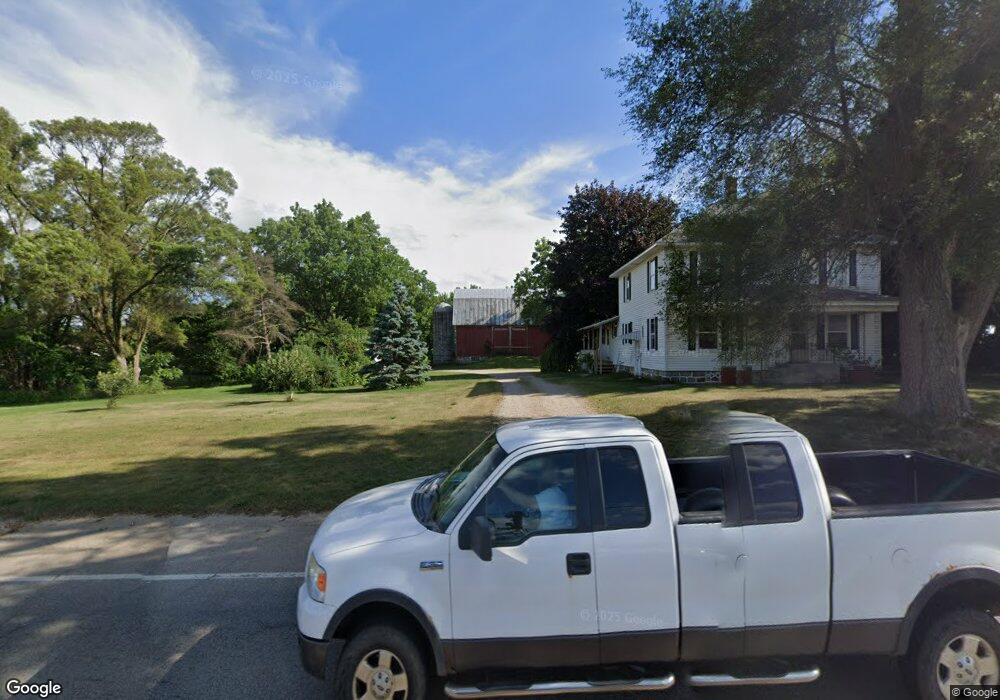
1080 142nd Ave Wayland, MI 49348
Estimated Value: $297,458 - $378,000
--
Bed
2
Baths
2,156
Sq Ft
$162/Sq Ft
Est. Value
About This Home
This home is located at 1080 142nd Ave, Wayland, MI 49348 and is currently estimated at $349,819, approximately $162 per square foot. 1080 142nd Ave is a home located in Allegan County with nearby schools including Wayland High School, Moline Christian School, and St. Therese Catholic School.
Ownership History
Date
Name
Owned For
Owner Type
Purchase Details
Closed on
Sep 9, 2011
Sold by
James Thomas and James Tammy
Bought by
James Thomas and James Tammy
Current Estimated Value
Purchase Details
Closed on
Mar 21, 1996
Sold by
Gardner Charles and Gardner Norma
Bought by
James Tom and James Tammy
Create a Home Valuation Report for This Property
The Home Valuation Report is an in-depth analysis detailing your home's value as well as a comparison with similar homes in the area
Home Values in the Area
Average Home Value in this Area
Purchase History
| Date | Buyer | Sale Price | Title Company |
|---|---|---|---|
| James Thomas | -- | None Available | |
| James Tom | $75,000 | -- | |
| James Tom | $75,000 | -- |
Source: Public Records
Tax History Compared to Growth
Tax History
| Year | Tax Paid | Tax Assessment Tax Assessment Total Assessment is a certain percentage of the fair market value that is determined by local assessors to be the total taxable value of land and additions on the property. | Land | Improvement |
|---|---|---|---|---|
| 2025 | $2,164 | $137,900 | $24,000 | $113,900 |
| 2024 | $1,989 | $131,200 | $20,600 | $110,600 |
| 2023 | $1,989 | $121,200 | $20,600 | $100,600 |
| 2022 | $1,989 | $108,500 | $21,500 | $87,000 |
| 2021 | $1,858 | $95,500 | $21,200 | $74,300 |
| 2020 | $1,836 | $89,700 | $21,200 | $68,500 |
| 2019 | $1,784 | $77,500 | $19,400 | $58,100 |
| 2018 | $1,720 | $73,600 | $19,400 | $54,200 |
| 2017 | $0 | $70,700 | $19,400 | $51,300 |
| 2016 | $0 | $54,800 | $19,400 | $35,400 |
| 2015 | -- | $54,800 | $19,400 | $35,400 |
| 2014 | -- | $55,500 | $18,400 | $37,100 |
| 2013 | $1,740 | $54,700 | $18,400 | $36,300 |
Source: Public Records
Map
Nearby Homes
- 4240 Butternut Dr
- Vienna Plan at Harvest Meadows
- Charlotte Plan at Harvest Meadows
- Sierra Plan at Harvest Meadows
- Karolynn Plan at Harvest Meadows
- Reno Plan at Harvest Meadows
- Bayberry Plan at Harvest Meadows
- Freedom Plan at Harvest Meadows
- London Plan at Harvest Meadows
- Hampton Plan at Harvest Meadows
- Oxford Plan at Harvest Meadows
- 4243 Butternut Dr
- 4245 Butternut Dr
- 4249 Butternut Dr
- Lot 142 Butternut Dr
- Lot 141 Butternut Dr
- 4273 Highpoint Dr Unit 112
- Unit 111 Highpoint Dr
- 4274 Butternut Dr
- 4316 Sussex Place
- 1088 142nd Ave
- 1064 142nd Ave
- 4206 Homestead
- 4202 Homestead
- 4211 Division St
- 4266 Division Ave S
- 0 Division Ave S
- 1074 Barnwood
- 4210 Homestead
- 140th Division St
- 4214 Homestead
- 1072 Barnwood
- 1076 Barnwood
- 4201 Homestead
- 4205 Homestead
- 1070 Barnwood
- 4209 Homestead
- 1075 Barnwood
- 4213 Homestead
- 4212 Division St