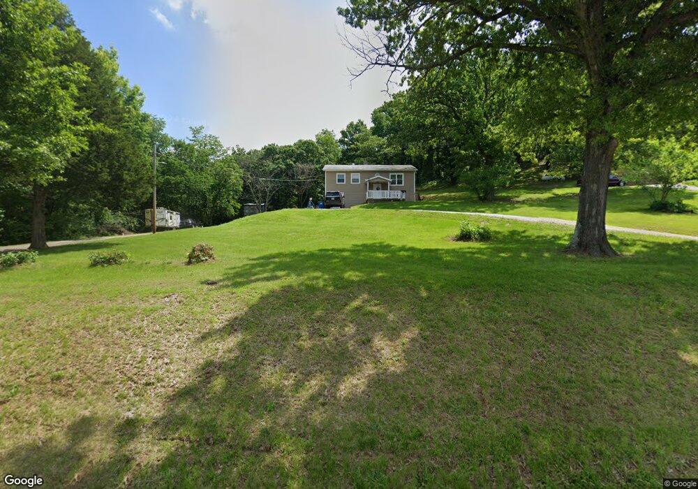
1080 Decker Rd Labadie, MO 63055
Estimated Value: $202,000 - $254,000
3
Beds
2
Baths
972
Sq Ft
$242/Sq Ft
Est. Value
About This Home
This home is located at 1080 Decker Rd, Labadie, MO 63055 and is currently estimated at $235,357, approximately $242 per square foot. 1080 Decker Rd is a home located in Franklin County with nearby schools including Pacific High School.
Ownership History
Date
Name
Owned For
Owner Type
Purchase Details
Closed on
May 2, 2024
Sold by
Gifford Kassandra M
Bought by
Gifford Kassandra M and Gifford Joshua A
Current Estimated Value
Purchase Details
Closed on
Apr 22, 2024
Sold by
Becker Kassandra M
Bought by
Gifford Kassandra M
Purchase Details
Closed on
Oct 17, 2012
Sold by
Hoehne Arthur W and Hoehne Joann
Bought by
Becker Kassandra M
Home Financials for this Owner
Home Financials are based on the most recent Mortgage that was taken out on this home.
Original Mortgage
$86,734
Interest Rate
3.55%
Mortgage Type
New Conventional
Create a Home Valuation Report for This Property
The Home Valuation Report is an in-depth analysis detailing your home's value as well as a comparison with similar homes in the area
Home Values in the Area
Average Home Value in this Area
Purchase History
| Date | Buyer | Sale Price | Title Company |
|---|---|---|---|
| Gifford Kassandra M | -- | None Listed On Document | |
| Gifford Kassandra M | -- | None Listed On Document | |
| Becker Kassandra M | $84,000 | None Available |
Source: Public Records
Mortgage History
| Date | Status | Borrower | Loan Amount |
|---|---|---|---|
| Previous Owner | Becker Kassandra M | $86,734 |
Source: Public Records
Tax History Compared to Growth
Tax History
| Year | Tax Paid | Tax Assessment Tax Assessment Total Assessment is a certain percentage of the fair market value that is determined by local assessors to be the total taxable value of land and additions on the property. | Land | Improvement |
|---|---|---|---|---|
| 2024 | $1,675 | $22,532 | $0 | $0 |
| 2023 | $1,675 | $22,532 | $0 | $0 |
| 2022 | $1,298 | $20,064 | $0 | $0 |
| 2021 | $1,308 | $20,064 | $0 | $0 |
| 2020 | $1,269 | $18,597 | $0 | $0 |
| 2019 | $1,267 | $18,597 | $0 | $0 |
| 2018 | $1,217 | $17,585 | $0 | $0 |
| 2017 | $1,214 | $17,585 | $0 | $0 |
| 2016 | $1,189 | $17,117 | $0 | $0 |
| 2015 | $1,096 | $17,117 | $0 | $0 |
| 2014 | $1,084 | $17,144 | $0 | $0 |
Source: Public Records
Map
Nearby Homes
- 1029 Thiebes Rd
- 536 Northridge Dr
- 960 Arft Ln
- 2216 Pine Lake Loop
- 2 Maple at Parkview Manors
- 2 Summerfield at Parkview Common
- 2 St James at Parkview Commons
- 2 Aspen at Parkview Manors
- 2 Manors
- 2 Ashford at Parkview Manors
- 2 Berwick at Parkview Manors
- 2 Royal II at Parkview Manors
- 2 Sterling at Parkview Manors
- 415 Wilderness Trail
- 423 Wilderness Trail
- 313 W Bend Ln
- 941 Westridge Dr
- 1477 Meramec Ave
- 1666 Missouri Ave
- 1654 Missouri Ave
- 1090 Decker Rd
- 1100 Decker Rd
- 1130 Decker Rd
- 1199 Decker Rd
- 1165 Decker Rd
- 1000 Decker Rd
- 1146 Decker Rd
- 994 Decker Rd
- 991 Decker Rd
- 1168 Decker Rd
- 981 Decker Rd
- 257 Shenandoah Dr
- 2517 Highway 100
- 979 Decker Rd
- 1065 Decker Rd
- 1075 Decker Rd
- 1055 Decker Rd
- 267 Shenandoah Dr
- 954 Decker Rd
- 947 Decker Rd