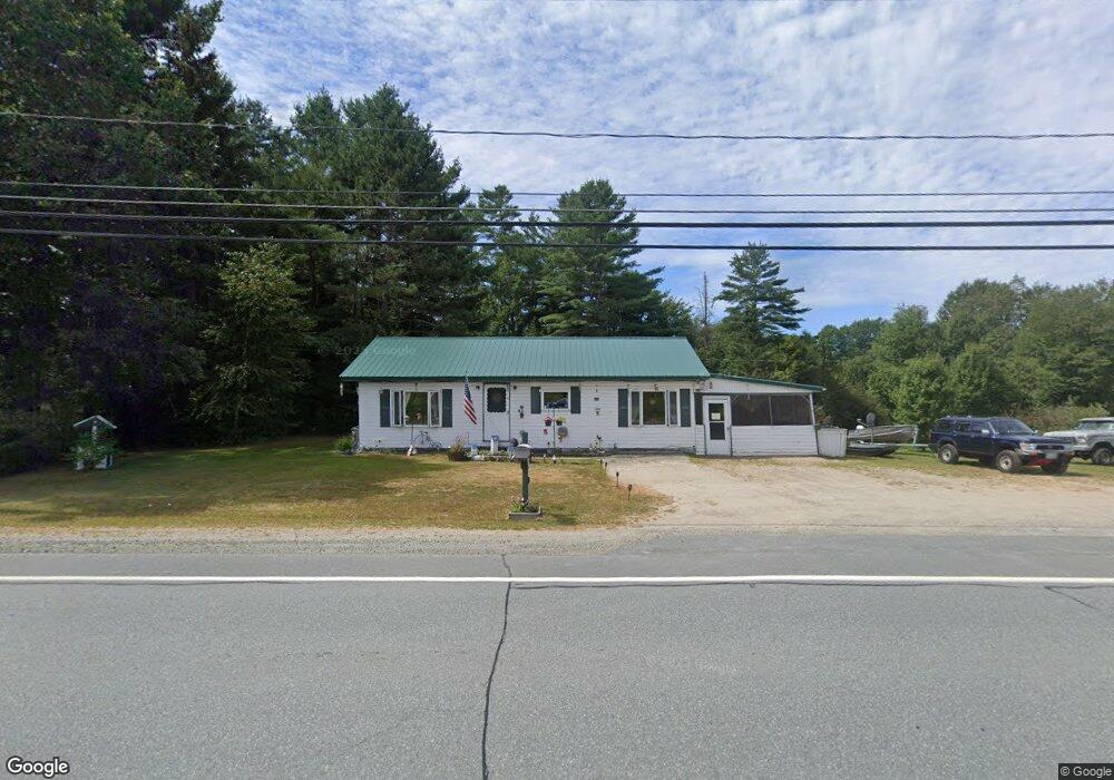
1080 Lancaster Rd Lancaster, NH 03584
Estimated Value: $137,000 - $248,000
2
Beds
1
Bath
880
Sq Ft
$217/Sq Ft
Est. Value
About This Home
This home is located at 1080 Lancaster Rd, Lancaster, NH 03584 and is currently estimated at $190,894, approximately $216 per square foot. 1080 Lancaster Rd is a home located in Coos County with nearby schools including Groveton Elementary School, Groveton High School, and North Country Charter Academy Lancaster (M).
Ownership History
Date
Name
Owned For
Owner Type
Purchase Details
Closed on
Oct 10, 2007
Sold by
Guay Lionel D and Guay Carmen J
Bought by
Collins Jeffrey L
Current Estimated Value
Home Financials for this Owner
Home Financials are based on the most recent Mortgage that was taken out on this home.
Original Mortgage
$76,500
Interest Rate
6.49%
Mortgage Type
Purchase Money Mortgage
Create a Home Valuation Report for This Property
The Home Valuation Report is an in-depth analysis detailing your home's value as well as a comparison with similar homes in the area
Purchase History
| Date | Buyer | Sale Price | Title Company |
|---|---|---|---|
| Collins Jeffrey L | $85,000 | -- |
Source: Public Records
Mortgage History
| Date | Status | Borrower | Loan Amount |
|---|---|---|---|
| Open | Collins Jeffrey L | $87,000 | |
| Closed | Collins Jeffrey L | $8,000 | |
| Closed | Collins Jeffrey L | $76,500 |
Source: Public Records
Tax History
| Year | Tax Paid | Tax Assessment Tax Assessment Total Assessment is a certain percentage of the fair market value that is determined by local assessors to be the total taxable value of land and additions on the property. | Land | Improvement |
|---|---|---|---|---|
| 2024 | $3,062 | $136,460 | $73,000 | $63,460 |
| 2023 | $2,918 | $136,460 | $73,000 | $63,460 |
| 2022 | $2,353 | $71,170 | $25,700 | $45,470 |
| 2021 | $2,513 | $71,170 | $25,700 | $45,470 |
| 2020 | $2,349 | $71,170 | $25,700 | $45,470 |
| 2019 | $2,309 | $71,170 | $25,700 | $45,470 |
| 2018 | $2,496 | $71,820 | $25,700 | $46,120 |
| 2016 | $2,874 | $78,100 | $25,700 | $52,400 |
| 2015 | $2,709 | $78,100 | $25,700 | $52,400 |
| 2013 | $2,635 | $78,700 | $25,700 | $53,000 |
Source: Public Records
Map
Nearby Homes
- 4593 Route 102
- 7680 Vermont 102
- 553 Lancaster Rd
- 0 North Rd Unit 5065580
- 95 Page Hill Rd
- 501 Fellows Rd
- 36 Longview Dr
- 101 Page Hill Rd
- Lot 12 Page Hill Rd
- 3 Chellie Ln
- Lot 5 Kelsea Ave
- 8 Kilkenny St
- 10 Starr King Park
- 0 N Main St Unit 5049939
- 5 Cubb St
- 12 High St
- 12 Wolcott St
- 98 Main St
- 49 Middle St
- 12 Middle St
- 1084 Lancaster Rd
- 1075 Lancaster Rd
- 1068 Lancaster Rd
- 1060 Lancaster Rd
- 1050 Lancaster Rd
- 1109 Lancaster Rd
- 12 Old Sawmill Rd
- 14 Cloutier Rd
- 1041 Lancaster Rd
- 1126 Lancaster Rd
- 1034 Lancaster Rd
- 1037 Lancaster Rd
- 1022 Lancaster Rd
- 1025 Lancaster Rd
- 26 Cloutier Rd
- 31 Cloutier Rd
- 13 Cloutier Rd
- 55 Spruce Rd
- 41 Cloutier Rd
- 40 Cloutier Rd
Your Personal Tour Guide
Ask me questions while you tour the home.