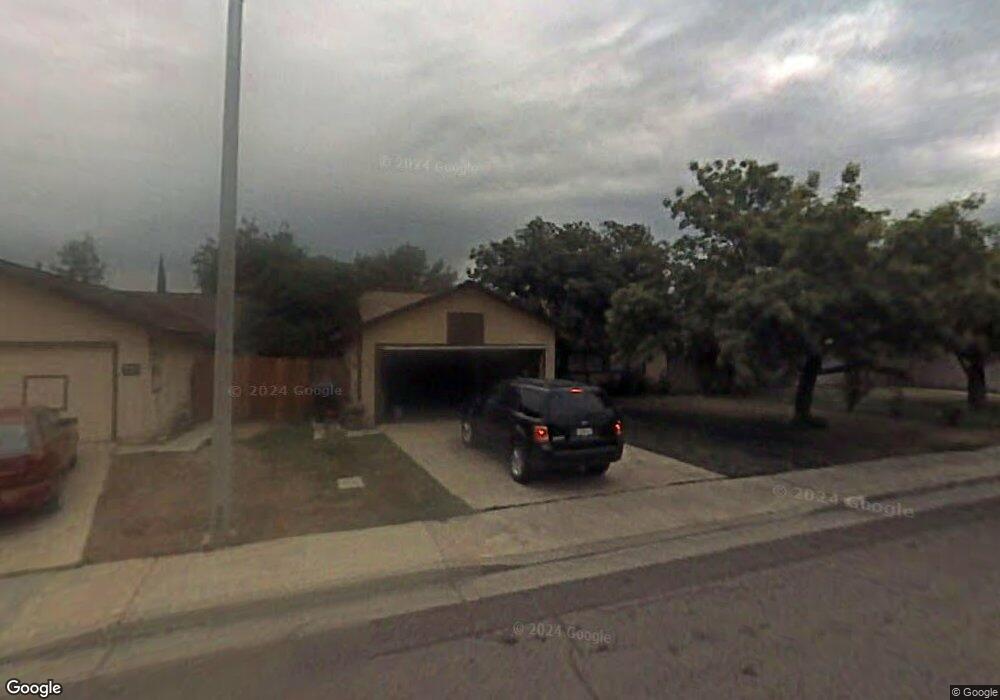
1080 N Patsy Dr Porterville, CA 93257
Porterville Northwest NeighborhoodEstimated Value: $298,708 - $321,000
3
Beds
2
Baths
1,100
Sq Ft
$282/Sq Ft
Est. Value
About This Home
This home is located at 1080 N Patsy Dr, Porterville, CA 93257 and is currently estimated at $310,427, approximately $282 per square foot. 1080 N Patsy Dr is a home located in Tulare County with nearby schools including Oak Grove Elementary School, Burton Middle School, and Monache High School.
Ownership History
Date
Name
Owned For
Owner Type
Purchase Details
Closed on
May 24, 2004
Sold by
Britt Clarence
Bought by
Rodriguez Clara M and Rodriguez Clara Marie
Current Estimated Value
Home Financials for this Owner
Home Financials are based on the most recent Mortgage that was taken out on this home.
Original Mortgage
$50,000
Interest Rate
5.99%
Mortgage Type
Purchase Money Mortgage
Purchase Details
Closed on
Feb 1, 1996
Sold by
Parada Marlene
Bought by
Elmbridge
Create a Home Valuation Report for This Property
The Home Valuation Report is an in-depth analysis detailing your home's value as well as a comparison with similar homes in the area
Home Values in the Area
Average Home Value in this Area
Purchase History
| Date | Buyer | Sale Price | Title Company |
|---|---|---|---|
| Rodriguez Clara M | $131,000 | Chicago Title Co | |
| Elmbridge | $19,500 | Chicago Title Co |
Source: Public Records
Mortgage History
| Date | Status | Borrower | Loan Amount |
|---|---|---|---|
| Closed | Rodriguez Clara M | $50,000 |
Source: Public Records
Tax History
| Year | Tax Paid | Tax Assessment Tax Assessment Total Assessment is a certain percentage of the fair market value that is determined by local assessors to be the total taxable value of land and additions on the property. | Land | Improvement |
|---|---|---|---|---|
| 2025 | $1,882 | $186,254 | $42,652 | $143,602 |
| 2024 | $1,882 | $182,603 | $41,816 | $140,787 |
| 2023 | $1,885 | $179,024 | $40,997 | $138,027 |
| 2022 | $1,778 | $175,515 | $40,194 | $135,321 |
| 2021 | $1,782 | $172,074 | $39,406 | $132,668 |
| 2020 | $1,749 | $170,310 | $39,002 | $131,308 |
| 2019 | $1,746 | $166,970 | $38,237 | $128,733 |
| 2018 | $1,575 | $155,000 | $39,000 | $116,000 |
| 2017 | $1,421 | $140,000 | $35,000 | $105,000 |
| 2016 | $1,329 | $135,000 | $34,000 | $101,000 |
| 2015 | $1,089 | $120,000 | $30,000 | $90,000 |
| 2014 | $1,089 | $112,000 | $28,000 | $84,000 |
Source: Public Records
Map
Nearby Homes
- 1700 W Mulberry Ave
- 1041 Greenfield Dr
- 1865 W Wall Ave
- 1304 N Birch St
- 1440 San Lucia Ave
- 1865 La Vida Ave
- 1350 N Lindale Way
- 1076 N Beverly St
- 1852 Santa Maria Ave
- 2273 W Santa Maria Ct Unit Lw179
- 2222 Santa Maria Ave Unit Lw187
- 2232 Santa Maria Ave Unit Lw188
- 2242 W Santa Maria Ct Unit Lw189
- 2212 Santa Maria Ave Unit Lw186
- 2266 W Santa Maria Ct Unit Lw191
- 1253 W Jean Ave
- 635 N Belmont St
- 1306 Lowery St
- 1450 W Brian Ln
- 1690 W Kanai Ave
Your Personal Tour Guide
Ask me questions while you tour the home.