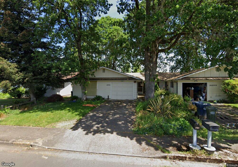
1080 Oak Dr Junction City, OR 97448
Estimated Value: $458,000 - $476,882
4
Beds
2
Baths
2,072
Sq Ft
$225/Sq Ft
Est. Value
About This Home
This home is located at 1080 Oak Dr, Junction City, OR 97448 and is currently estimated at $466,971, approximately $225 per square foot. 1080 Oak Dr is a home located in Lane County with nearby schools including Junction City High School.
Ownership History
Date
Name
Owned For
Owner Type
Purchase Details
Closed on
Feb 7, 2018
Sold by
Shaidell Nancy L and Lloyd John D
Bought by
Shaidell David J and Shaidell Nancy L
Current Estimated Value
Purchase Details
Closed on
Feb 6, 2018
Sold by
Shiadell Nancy L and Lloyd John D
Bought by
Shaidell David J and Shaidell Nancy L
Purchase Details
Closed on
Oct 26, 2011
Sold by
Lloyd Investments Llc
Bought by
Shaidell Nancy L and Lloyd John D
Purchase Details
Closed on
Mar 5, 1998
Sold by
Lloyd John D and Lloyd Marjorie R
Bought by
Lloyd Investments Llc
Create a Home Valuation Report for This Property
The Home Valuation Report is an in-depth analysis detailing your home's value as well as a comparison with similar homes in the area
Home Values in the Area
Average Home Value in this Area
Purchase History
| Date | Buyer | Sale Price | Title Company |
|---|---|---|---|
| Shaidell David J | -- | None Listed On Document | |
| Shaidell David J | $195,300 | None Available | |
| Shaidell Nancy L | -- | None Available | |
| Lloyd Investments Llc | -- | -- |
Source: Public Records
Tax History Compared to Growth
Tax History
| Year | Tax Paid | Tax Assessment Tax Assessment Total Assessment is a certain percentage of the fair market value that is determined by local assessors to be the total taxable value of land and additions on the property. | Land | Improvement |
|---|---|---|---|---|
| 2024 | $3,970 | $236,461 | -- | -- |
| 2023 | $3,970 | $229,574 | $0 | $0 |
| 2022 | $3,703 | $222,888 | $0 | $0 |
| 2021 | $3,629 | $216,397 | $0 | $0 |
| 2020 | $3,513 | $210,095 | $0 | $0 |
| 2019 | $3,390 | $203,976 | $0 | $0 |
| 2018 | $3,292 | $192,267 | $0 | $0 |
| 2017 | $3,176 | $192,267 | $0 | $0 |
| 2016 | $3,088 | $186,667 | $0 | $0 |
| 2015 | $2,730 | $181,230 | $0 | $0 |
| 2014 | $2,741 | $175,951 | $0 | $0 |
Source: Public Records
Map
Nearby Homes
- 1011 Rose St
- 850 Spruce St
- 1225 W 10th Ave Unit 53
- 1225 W 10th Ave Unit 50
- 1225 W 10th Ave Unit 28
- 1225 W 10th Ave Unit 26
- 1262 Kalmia St
- 1176 Unity Dr
- 945 W 17th Ave
- 1377 Juniper St
- 847 Unity Dr
- 617 Juniper St
- 0 Holly St
- 1480 Ivy St
- 930 Holly St
- 94403 Oaklea Dr
- 351 Juniper St
- 1085 W 1st Ave Unit 8
- 1816 W 4th Ave
- 954 Elm St