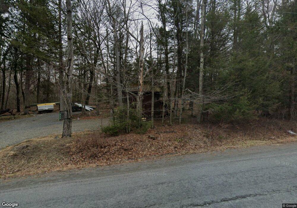
1080 Route 390 Greentown, PA 18426
Estimated Value: $146,879 - $148,000
1
Bed
2
Baths
400
Sq Ft
$369/Sq Ft
Est. Value
About This Home
This home is located at 1080 Route 390, Greentown, PA 18426 and is currently estimated at $147,440, approximately $368 per square foot. 1080 Route 390 is a home with nearby schools including Wallenpaupack Area High School.
Ownership History
Date
Name
Owned For
Owner Type
Purchase Details
Closed on
Aug 31, 2024
Sold by
Spidle Darryl E and Kistler Lisa M
Bought by
Icirsten Martin
Current Estimated Value
Home Financials for this Owner
Home Financials are based on the most recent Mortgage that was taken out on this home.
Original Mortgage
$100,000
Outstanding Balance
$98,910
Interest Rate
6.63%
Mortgage Type
New Conventional
Estimated Equity
$48,530
Purchase Details
Closed on
Feb 25, 2021
Sold by
Krial John E and Krial Sherry
Bought by
Spidle Darryl E and Kistler Lisa M
Home Financials for this Owner
Home Financials are based on the most recent Mortgage that was taken out on this home.
Original Mortgage
$66,400
Interest Rate
2.7%
Mortgage Type
New Conventional
Create a Home Valuation Report for This Property
The Home Valuation Report is an in-depth analysis detailing your home's value as well as a comparison with similar homes in the area
Home Values in the Area
Average Home Value in this Area
Purchase History
| Date | Buyer | Sale Price | Title Company |
|---|---|---|---|
| Icirsten Martin | $140,000 | Statewide Abstract | |
| Spidle Darryl E | $83,000 | None Available |
Source: Public Records
Mortgage History
| Date | Status | Borrower | Loan Amount |
|---|---|---|---|
| Open | Icirsten Martin | $100,000 | |
| Previous Owner | Spidle Darryl E | $66,400 |
Source: Public Records
Tax History Compared to Growth
Tax History
| Year | Tax Paid | Tax Assessment Tax Assessment Total Assessment is a certain percentage of the fair market value that is determined by local assessors to be the total taxable value of land and additions on the property. | Land | Improvement |
|---|---|---|---|---|
| 2025 | $947 | $8,470 | $4,130 | $4,340 |
| 2024 | $947 | $8,470 | $4,130 | $4,340 |
| 2023 | $907 | $8,470 | $4,130 | $4,340 |
| 2022 | $885 | $8,470 | $4,130 | $4,340 |
| 2021 | $873 | $8,470 | $4,130 | $4,340 |
| 2020 | $873 | $8,470 | $4,130 | $4,340 |
| 2019 | $845 | $8,470 | $4,130 | $4,340 |
| 2018 | $831 | $8,470 | $4,130 | $4,340 |
| 2017 | $805 | $8,470 | $4,130 | $4,340 |
| 2016 | $0 | $8,470 | $4,130 | $4,340 |
| 2014 | -- | $8,470 | $4,130 | $4,340 |
Source: Public Records
Map
Nearby Homes
- 58 Branch Rd
- 120 Melody Ln
- 1015 Pennsylvania 390
- 1015 Route 390
- 153 Stone Chair Trail
- 108 Hughes Dr
- 111 Meadow Ln
- 926 Pennsylvania 390
- Lot 258 Bear Trap Mountain Rd
- 116 S Sunset Dr
- 142 E Balsam Rd
- Lot 1301 Lakeside Dr
- Lot 1302 Lakeside Dr
- SkyView Lake Redwood Dr
- 1708 Horizon Dr
- SkyView Lakes Oakwood Dr
- SkyView Lake Oakwood Dr
- lot 118 Route 390 & Oak Rd
- SkyView Lakes Oak Wood Dr
- 0 Horizon Dr
- 1080 Pennsylvania 390
- 1078 Route 390
- 259 Cedar Ln
- 257 Cedar Ln
- 1076 Route 390
- 1081 Pennsylvania 390
- 255 Cedar Ln
- 253 Cedar Ln
- 1073 Route 390
- 57 Branch Rd
- 1071 Route 390
- 225 Cedar Ln
- 1067 Route 390
- 223 Cedar Ln
- 11,13,15 Tauschman Dr
- 1066 Route 390
- 126 Sunflower Ln
- 221 Cedar Ln
- 122 Sunflower Ln
- 323 Branch Rd