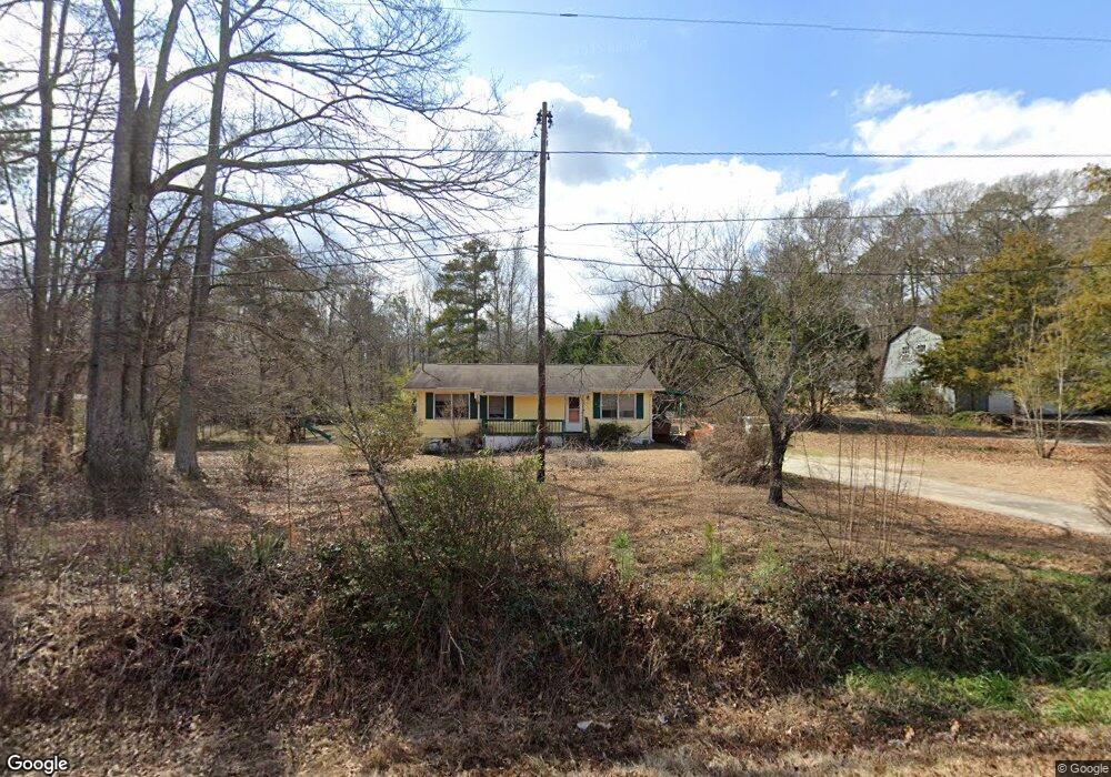
1080 Swint Rd Griffin, GA 30224
Spalding County NeighborhoodEstimated Value: $123,000 - $172,000
3
Beds
1
Bath
1,008
Sq Ft
$140/Sq Ft
Est. Value
About This Home
This home is located at 1080 Swint Rd, Griffin, GA 30224 and is currently estimated at $141,385, approximately $140 per square foot. 1080 Swint Rd is a home located in Spalding County with nearby schools including Futral Road Elementary School, Rehoboth Road Middle School, and Spalding High School.
Ownership History
Date
Name
Owned For
Owner Type
Purchase Details
Closed on
Jun 18, 2021
Sold by
Worthy Leila C
Bought by
Rodriguez Juan
Current Estimated Value
Home Financials for this Owner
Home Financials are based on the most recent Mortgage that was taken out on this home.
Original Mortgage
$87,387
Outstanding Balance
$79,118
Interest Rate
2.9%
Mortgage Type
FHA
Estimated Equity
$62,267
Purchase Details
Closed on
Jan 15, 1973
Sold by
Payton Tommy
Bought by
Worthy Leila
Purchase Details
Closed on
Nov 20, 1972
Sold by
Slade Realty Etal
Bought by
Payton Tommy
Create a Home Valuation Report for This Property
The Home Valuation Report is an in-depth analysis detailing your home's value as well as a comparison with similar homes in the area
Home Values in the Area
Average Home Value in this Area
Purchase History
| Date | Buyer | Sale Price | Title Company |
|---|---|---|---|
| Rodriguez Juan | $89,000 | -- | |
| Worthy Leila | $16,100 | -- | |
| Payton Tommy | $12,000 | -- |
Source: Public Records
Mortgage History
| Date | Status | Borrower | Loan Amount |
|---|---|---|---|
| Open | Rodriguez Juan | $87,387 |
Source: Public Records
Tax History Compared to Growth
Tax History
| Year | Tax Paid | Tax Assessment Tax Assessment Total Assessment is a certain percentage of the fair market value that is determined by local assessors to be the total taxable value of land and additions on the property. | Land | Improvement |
|---|---|---|---|---|
| 2024 | $903 | $27,040 | $4,000 | $23,040 |
| 2023 | $903 | $27,040 | $4,000 | $23,040 |
| 2022 | $891 | $26,302 | $3,000 | $23,302 |
| 2021 | $106 | $13,647 | $3,000 | $10,647 |
| 2020 | $90 | $12,704 | $3,000 | $9,704 |
| 2019 | $86 | $12,468 | $3,000 | $9,468 |
| 2018 | $0 | $11,474 | $3,000 | $8,474 |
| 2017 | $64 | $11,474 | $3,000 | $8,474 |
| 2016 | $65 | $11,474 | $3,000 | $8,474 |
| 2015 | $71 | $11,474 | $3,000 | $8,474 |
| 2014 | $71 | $11,474 | $3,000 | $8,474 |
Source: Public Records
Map
Nearby Homes
- 676 Lake Park North Dr
- 275 Liberty Bell Ln
- 305 Liberty Bell Ln
- 93 Green Acres Rd
- 331 Calhoun Rd
- 1967 Futral Rd
- 100 Liberty Bell Ln
- 121 Sheldon Point
- 108 Timber Ridge Dr
- 3002 Sarah Ln
- 3020 Sarah Ln
- 1693 S Mcdonough Rd
- 3028 Sarah Ln
- 3005 Sarah Ln
- 3045 Sarah Ln
- 2173 S Mcdonough Rd
- 1887 Green Valley Rd
- 321 Ridgeway Rd
- 100 Glenview Dr
- 2495 Barnesville Rd
- 1068 Swint Rd
- 18 Cook Rd
- 1056 Swint Rd
- 10 Cook Rd
- 0 Swint Rd Unit 10244448
- 0 Swint Rd Unit 2487809
- 0 Swint Rd Unit 8991141
- 0 Swint Rd Unit 8778819
- 0 Swint Rd Unit 8503263
- 0 Swint Rd Unit 8909338
- 0 Swint Rd Unit 3110127
- 0 Swint Rd Unit 7488413
- 0 Swint Rd Unit 7503485
- 0 Swint Rd Unit 7604326
- 0 Swint Rd Unit 8224102
- 0 Swint Rd Unit 8427959
- 0 Swint Rd
- 1046 Swint Rd
- 0 Cook Rd Unit 7523982
- 0 Cook Rd Unit A 8770732