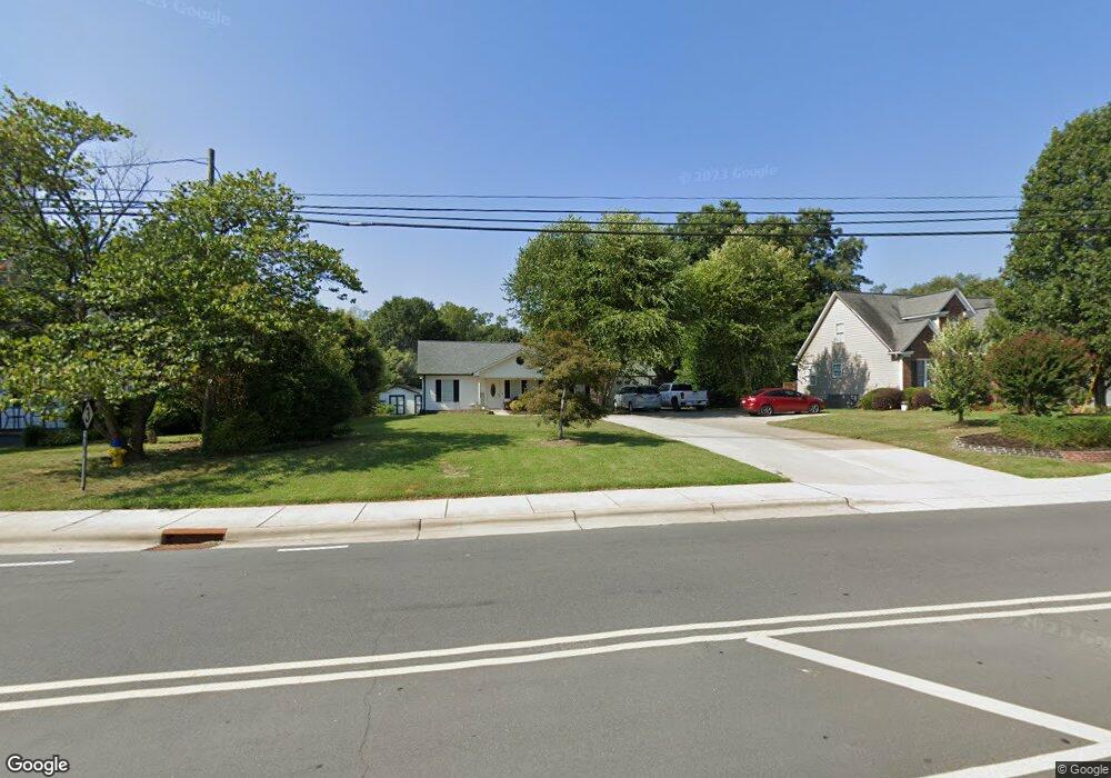
1080 Union St S Concord, NC 28025
Estimated Value: $302,000 - $348,000
3
Beds
2
Baths
1,344
Sq Ft
$242/Sq Ft
Est. Value
About This Home
This home is located at 1080 Union St S, Concord, NC 28025 and is currently estimated at $325,894, approximately $242 per square foot. 1080 Union St S is a home located in Cabarrus County with nearby schools including R Brown Mcallister STEMElementary, Concord Middle School, and Concord High School.
Ownership History
Date
Name
Owned For
Owner Type
Purchase Details
Closed on
Jun 15, 2004
Sold by
Johnson George Robert
Bought by
Crespo Dulce Maria and Crespo Esiquio
Current Estimated Value
Home Financials for this Owner
Home Financials are based on the most recent Mortgage that was taken out on this home.
Original Mortgage
$119,900
Interest Rate
6.24%
Mortgage Type
Purchase Money Mortgage
Purchase Details
Closed on
Dec 27, 2002
Sold by
Mayfield Lakeland Llc
Bought by
Mitchell Hartsell Construction Inc
Create a Home Valuation Report for This Property
The Home Valuation Report is an in-depth analysis detailing your home's value as well as a comparison with similar homes in the area
Home Values in the Area
Average Home Value in this Area
Purchase History
| Date | Buyer | Sale Price | Title Company |
|---|---|---|---|
| Crespo Dulce Maria | $120,000 | -- | |
| Mitchell Hartsell Construction Inc | $46,000 | -- |
Source: Public Records
Mortgage History
| Date | Status | Borrower | Loan Amount |
|---|---|---|---|
| Previous Owner | Crespo Dulce Maria | $119,900 |
Source: Public Records
Tax History Compared to Growth
Tax History
| Year | Tax Paid | Tax Assessment Tax Assessment Total Assessment is a certain percentage of the fair market value that is determined by local assessors to be the total taxable value of land and additions on the property. | Land | Improvement |
|---|---|---|---|---|
| 2025 | $2,911 | $292,280 | $61,750 | $230,530 |
| 2024 | $2,911 | $292,280 | $61,750 | $230,530 |
| 2023 | $2,038 | $167,080 | $36,100 | $130,980 |
| 2022 | $1,997 | $163,710 | $36,100 | $127,610 |
| 2021 | $1,997 | $163,710 | $36,100 | $127,610 |
| 2020 | $1,997 | $163,710 | $36,100 | $127,610 |
| 2019 | $1,734 | $142,130 | $28,500 | $113,630 |
| 2018 | $1,706 | $142,130 | $28,500 | $113,630 |
| 2017 | $1,677 | $142,130 | $28,500 | $113,630 |
| 2016 | $995 | $117,470 | $28,500 | $88,970 |
| 2015 | $1,386 | $117,470 | $28,500 | $88,970 |
| 2014 | $1,386 | $117,470 | $28,500 | $88,970 |
Source: Public Records
Map
Nearby Homes
- 29 Plott Dr SW
- 79 Cumberland Ct SW
- 94 Cumberland Ct SW
- 138 Pointer Ct SE
- 142 Cottontail Ln SE
- 153 Cottontail Ln SE Unit 46
- 34 Rollingwood Dr SE
- 24 Doris Ct SE
- 783 Union St S
- 148 Woodland Dr SW
- 847 Kathryn Dr SE
- 782 Union St S
- 768 Millbrook Ct
- 80 Pounds Ave SW
- 267 Ikerd Dr SE
- 2752 State Highway 49
- 138 Arlington Ave SE
- 736 Spring St SW
- 271 Ikerd Dr SE
- 113 Arlington Ave SE
- 1082 Union St S
- 1068 Union St S
- 1088 Union St S
- 37 Plott Dr SW
- 1062 Union St S
- 33 Plott Dr SW
- 39 Plott Dr SW
- 1094 Union St S
- 1050 Union St S
- 10 Plott Dr SW
- 1063 Union St S
- 31 Charing Place SW
- 43 Plott Dr SW
- 12 Plott Dr SW
- 1044 Union St S
- 35 Charing Place SW
- 36 Plott Dr SW
- 45 Plott Dr SW
- 28 Plott Dr SW
- 40 Plott Dr SW