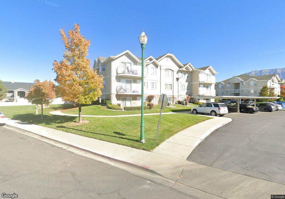
1080 W 1360 S Orem, UT 84058
Lakeview NeighborhoodEstimated Value: $302,000 - $354,000
2
Beds
2
Baths
1,120
Sq Ft
$292/Sq Ft
Est. Value
About This Home
This home is located at 1080 W 1360 S, Orem, UT 84058 and is currently estimated at $326,558, approximately $291 per square foot. 1080 W 1360 S is a home located in Utah County with nearby schools including Vineyard Elementary School, Lakeridge Jr High School, and Mountain View High School.
Ownership History
Date
Name
Owned For
Owner Type
Purchase Details
Closed on
May 20, 2025
Sold by
Griffeth Robert G and Griffeth Doreen R
Bought by
Robert G And Doreen R Griffeth Family Trust and Griffeth
Current Estimated Value
Purchase Details
Closed on
May 3, 2006
Sold by
Williamson Rentals Lc
Bought by
Griffeth Robert G and Griffeth Doreen R
Home Financials for this Owner
Home Financials are based on the most recent Mortgage that was taken out on this home.
Original Mortgage
$92,720
Interest Rate
6.41%
Mortgage Type
Fannie Mae Freddie Mac
Create a Home Valuation Report for This Property
The Home Valuation Report is an in-depth analysis detailing your home's value as well as a comparison with similar homes in the area
Home Values in the Area
Average Home Value in this Area
Purchase History
| Date | Buyer | Sale Price | Title Company |
|---|---|---|---|
| Robert G And Doreen R Griffeth Family Trust | -- | None Listed On Document | |
| Griffeth Robert G | -- | Affiliated First Title Comp |
Source: Public Records
Mortgage History
| Date | Status | Borrower | Loan Amount |
|---|---|---|---|
| Previous Owner | Griffeth Robert G | $92,720 |
Source: Public Records
Tax History Compared to Growth
Tax History
| Year | Tax Paid | Tax Assessment Tax Assessment Total Assessment is a certain percentage of the fair market value that is determined by local assessors to be the total taxable value of land and additions on the property. | Land | Improvement |
|---|---|---|---|---|
| 2025 | $1,241 | $288,900 | $32,100 | $256,800 |
| 2024 | $1,176 | $151,800 | $0 | $0 |
| 2023 | $1,176 | $154,605 | $0 | $0 |
| 2022 | $1,111 | $141,515 | $0 | $0 |
| 2021 | $1,046 | $201,800 | $24,200 | $177,600 |
| 2020 | $951 | $180,200 | $21,600 | $158,600 |
| 2019 | $879 | $173,300 | $23,600 | $149,700 |
| 2018 | $844 | $159,000 | $20,000 | $139,000 |
| 2017 | $774 | $78,045 | $0 | $0 |
| 2016 | $763 | $70,950 | $0 | $0 |
| 2015 | $775 | $68,200 | $0 | $0 |
| 2014 | $715 | $62,645 | $0 | $0 |
Source: Public Records
Map
Nearby Homes
- 1006 W 1360 S
- 1363 S 1150 W
- 1159 W 1330 S Unit P2
- 1320 S 1180 W
- 1191 W 1275 S
- 1700 S Sandhill Rd Unit C205
- 1700 S Sandhill Rd Unit D203
- 1700 S Sandhill Rd Unit A303
- 1871 S 1030 W
- 1217 W 1860 S Unit 307
- 1908 S 1030 W Unit 417
- 1901 S 1030 W
- 1923 S 1120 W
- 1038 W 1970 S
- 881 S 635 W
- 467 W 1640 S
- 1069 W 680 S
- 543 W 1770 S
- 537 W 1770 S
- 722 S 1370 W