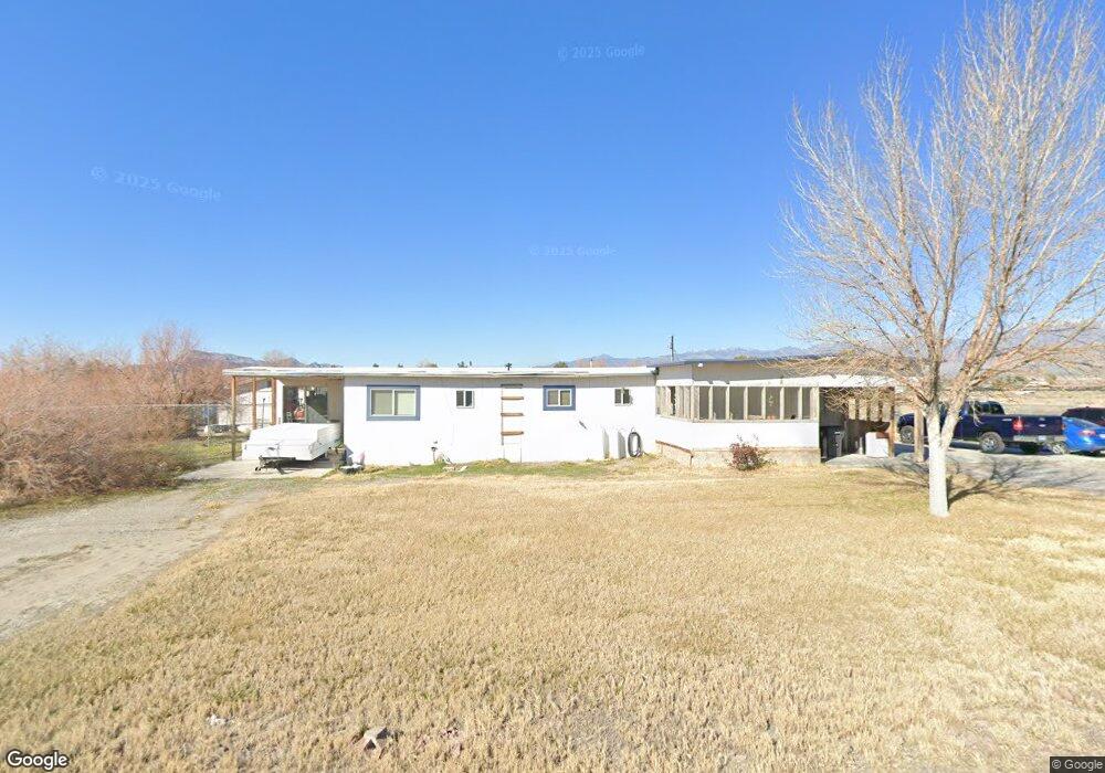
1080 W Wilson Rd Pahrump, NV 89048
Estimated Value: $143,000 - $244,000
--
Bed
--
Bath
660
Sq Ft
$287/Sq Ft
Est. Value
About This Home
This home is located at 1080 W Wilson Rd, Pahrump, NV 89048 and is currently estimated at $189,199, approximately $286 per square foot. 1080 W Wilson Rd is a home located in Nye County with nearby schools including J.G. Johnson Elementary School, Rosemary Clarke Middle School, and Pahrump Valley High School.
Ownership History
Date
Name
Owned For
Owner Type
Purchase Details
Closed on
Jun 6, 2017
Sold by
County Treasurer
Bought by
Ingersoll Scott M
Current Estimated Value
Home Financials for this Owner
Home Financials are based on the most recent Mortgage that was taken out on this home.
Interest Rate
3.94%
Purchase Details
Closed on
Oct 21, 2011
Sold by
Mossinghoff Grace
Bought by
The 2010 Grace Mossinghoff Separate Prop
Create a Home Valuation Report for This Property
The Home Valuation Report is an in-depth analysis detailing your home's value as well as a comparison with similar homes in the area
Home Values in the Area
Average Home Value in this Area
Purchase History
| Date | Buyer | Sale Price | Title Company |
|---|---|---|---|
| Ingersoll Scott M | -- | -- | |
| The 2010 Grace Mossinghoff Separate Prop | -- | None Available |
Source: Public Records
Mortgage History
| Date | Status | Borrower | Loan Amount |
|---|---|---|---|
| Closed | Ingersoll Scott M | -- |
Source: Public Records
Tax History Compared to Growth
Tax History
| Year | Tax Paid | Tax Assessment Tax Assessment Total Assessment is a certain percentage of the fair market value that is determined by local assessors to be the total taxable value of land and additions on the property. | Land | Improvement |
|---|---|---|---|---|
| 2025 | $663 | $22,738 | $4,135 | $18,603 |
| 2024 | $663 | $22,387 | $4,135 | $18,252 |
| 2023 | $663 | $21,993 | $4,135 | $17,858 |
| 2022 | $624 | $19,661 | $4,135 | $15,526 |
| 2021 | $610 | $18,582 | $3,308 | $15,274 |
| 2020 | $594 | $20,500 | $3,308 | $15,312 |
| 2019 | $558 | $20,047 | $3,308 | $16,739 |
| 2018 | $534 | $18,893 | $2,646 | $16,247 |
| 2017 | $505 | $15,966 | $2,646 | $13,320 |
| 2016 | $493 | $13,110 | $2,646 | $10,464 |
| 2015 | $492 | $12,687 | $2,646 | $10,041 |
| 2014 | $478 | $13,387 | $2,646 | $10,741 |
Source: Public Records
Map
Nearby Homes
- 1860 W Irons St
- 1240 W Irons St
- 1081 Vondell Dr
- 867 S Linda St
- 1421 W Irons St
- 1371 W Basin Ave
- 581 Montecito Dr
- 1061 W Sierra Vista Cir S
- 801 S Ford Loop
- 1740 W Donner St
- 186 N Linda St
- 831 S Ford Loop
- 410 Candle Stick Ave
- 1141 Turquoise Ave
- 1751 Vondell Dr
- 356 Saint Andrew St
- 360 Inverness Ave
- 601 W Nevada Highway 372
- 561 W Nevada Highway 372
- 881 Montecito Dr
- 1081 W Donner St
- 1051 W Donner St
- 1111 W Donner St
- 1111 W Wilson Rd
- 1051 W Wilson Rd
- 1081 W Wilson Rd
- 1141 W Wilson Rd
- 1050 Donner St
- 1110 Donner St
- 1080 W Donner St
- 1171 W Wilson Rd
- 1110 W Irons St
- 1171 W Donner St
- 366 S Linda St
- 1140 Donner St
- 1171 W Donner St
- 580 S Linda St
- 1140 Irons Unit F
- 1140 W Donner St
- 1170 Donner St