10800 Lighthouse Point Unit Bldg-Unit South Lyon, MI 48178
Estimated Value: $1,276,766 - $1,549,000
4
Beds
5
Baths
3,111
Sq Ft
$439/Sq Ft
Est. Value
About This Home
This home is located at 10800 Lighthouse Point Unit Bldg-Unit, South Lyon, MI 48178 and is currently estimated at $1,367,192, approximately $439 per square foot. 10800 Lighthouse Point Unit Bldg-Unit is a home located in Livingston County with nearby schools including Hawkins Elementary School, Scranton Middle School, and Brighton High School.
Ownership History
Date
Name
Owned For
Owner Type
Purchase Details
Closed on
Aug 27, 2024
Sold by
Rotole Jason and Rotole Erin
Bought by
Rotole Jason and Rotole Erin
Current Estimated Value
Purchase Details
Closed on
Mar 20, 2024
Sold by
Frescoln Leonard D and Frescoln Christine M
Bought by
Rotole Jason and Rotole Erin
Home Financials for this Owner
Home Financials are based on the most recent Mortgage that was taken out on this home.
Original Mortgage
$350,000
Interest Rate
6.64%
Mortgage Type
New Conventional
Purchase Details
Closed on
May 28, 2020
Sold by
Malone Thomas J and Malone Patricia M
Bought by
Frescoln Leonard D and Frescoln Christine M
Create a Home Valuation Report for This Property
The Home Valuation Report is an in-depth analysis detailing your home's value as well as a comparison with similar homes in the area
Home Values in the Area
Average Home Value in this Area
Purchase History
| Date | Buyer | Sale Price | Title Company |
|---|---|---|---|
| Rotole Jason | -- | None Listed On Document | |
| Rotole Jason | $1,100,000 | Modern Title Group | |
| Frescoln Leonard D | $950,000 | Leading Edge Title Agency |
Source: Public Records
Mortgage History
| Date | Status | Borrower | Loan Amount |
|---|---|---|---|
| Previous Owner | Rotole Jason | $350,000 |
Source: Public Records
Tax History Compared to Growth
Tax History
| Year | Tax Paid | Tax Assessment Tax Assessment Total Assessment is a certain percentage of the fair market value that is determined by local assessors to be the total taxable value of land and additions on the property. | Land | Improvement |
|---|---|---|---|---|
| 2025 | $15,967 | $674,900 | $0 | $0 |
| 2024 | $6,892 | $700,300 | $0 | $0 |
| 2023 | $16,141 | $584,300 | $0 | $0 |
| 2022 | $22,253 | $437,200 | $0 | $0 |
| 2021 | $22,253 | $484,500 | $0 | $0 |
| 2020 | $9,049 | $433,500 | $0 | $0 |
| 2019 | $10,454 | $437,200 | $0 | $0 |
| 2018 | $10,388 | $405,900 | $0 | $0 |
| 2017 | $10,315 | $387,400 | $0 | $0 |
| 2016 | $10,345 | $379,700 | $0 | $0 |
| 2014 | $8,935 | $365,400 | $0 | $0 |
| 2012 | $8,935 | $301,700 | $0 | $0 |
Source: Public Records
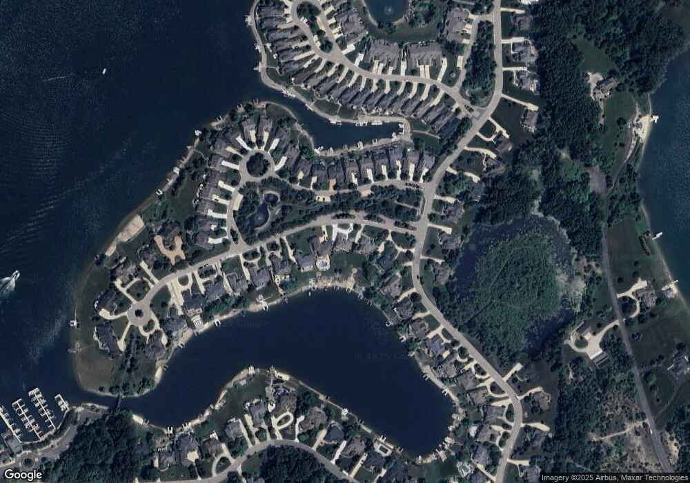
Map
Nearby Homes
- 10817 Cliffview Dr
- 10611 Lighthouse Point
- 0000 Stoney Point Unit 5
- 10993 Stoney Point Dr
- 00 Pier Point Ct
- 11108 Silver Lake Rd
- 9112 Roger Scott Trail
- 11055 Silver View Ct
- 11047 Silver View Ct
- 11035 Silver View Ct
- 0 Hillview Dr Unit 25052269
- 9044 Kemper Dr
- 8800 Evergreen Rd
- 8499 Bishop Rd
- 9797 Rolling Pines Dr
- 9736 Cross Creek Dr
- 11390 Ridge Rd
- 9550 Silverside
- 11904 Moose Ridge Dr
- 12088 Pinebrook Ln
- 10800 Lighthouse Point
- 10800 Lighthouse Pointe
- 10774 Lighthouse Point
- 10774 Lighthouse Pointe
- 10748 Lighthouse Point
- 10748 Lighthouse Pointe
- 8714 Stoney Creek Dr Unit 47
- 8736 Stoney Creek Dr
- 8736 Stoney Creek Dr
- 10769 Cliffview Dr
- 10757 Cliffview Dr
- 10781 Cliffview Dr Unit 16
- 10696 Lighthouse Pointe
- 10696 Lighthouse Point
- 8760 Stoney Creek Dr Unit 45
- 10793 Cliffview Dr Unit 17
- 10745 Cliffview Dr Unit 13
- 10805 Cliffview Dr Unit 18
- 10817 Cliffview Dr Unit 19
- 8782 Stoney Creek Dr