10800 N Highway 52 Horseshoe Bend, ID 83629
Gem County NeighborhoodEstimated Value: $644,123 - $920,000
2
Beds
2
Baths
1,440
Sq Ft
$568/Sq Ft
Est. Value
About This Home
This home is located at 10800 N Highway 52, Horseshoe Bend, ID 83629 and is currently estimated at $818,374, approximately $568 per square foot. 10800 N Highway 52 is a home with nearby schools including Sweet-Montour Elementary-Jr High School.
Ownership History
Date
Name
Owned For
Owner Type
Purchase Details
Closed on
Feb 23, 2022
Sold by
Lindsey Greg S and Lindsey Lori A
Bought by
Lindsey Greg and Lindsey Lori A
Current Estimated Value
Home Financials for this Owner
Home Financials are based on the most recent Mortgage that was taken out on this home.
Original Mortgage
$299,400
Outstanding Balance
$278,016
Interest Rate
3.55%
Mortgage Type
New Conventional
Estimated Equity
$540,358
Create a Home Valuation Report for This Property
The Home Valuation Report is an in-depth analysis detailing your home's value as well as a comparison with similar homes in the area
Home Values in the Area
Average Home Value in this Area
Purchase History
| Date | Buyer | Sale Price | Title Company |
|---|---|---|---|
| Lindsey Greg | -- | First American Title |
Source: Public Records
Mortgage History
| Date | Status | Borrower | Loan Amount |
|---|---|---|---|
| Open | Lindsey Greg | $299,400 |
Source: Public Records
Tax History Compared to Growth
Tax History
| Year | Tax Paid | Tax Assessment Tax Assessment Total Assessment is a certain percentage of the fair market value that is determined by local assessors to be the total taxable value of land and additions on the property. | Land | Improvement |
|---|---|---|---|---|
| 2024 | $1,876 | $609,327 | $329,247 | $280,080 |
| 2023 | $1,761 | $608,102 | $329,247 | $278,855 |
| 2021 | $1,952 | $421,106 | $198,065 | $223,041 |
| 2020 | $2,247 | $364,787 | $155,064 | $209,723 |
| 2019 | $2,298 | $354,639 | $144,916 | $209,723 |
| 2018 | $2,172 | $292,196 | $133,016 | $159,180 |
| 2017 | $2,058 | $224,020 | $115,780 | $108,240 |
| 2016 | $2,078 | $211,140 | $107,930 | $103,210 |
| 2015 | $1,682 | $180,360 | $90,860 | $89,500 |
| 2014 | $28,504 | $162,020 | $83,020 | $79,000 |
Source: Public Records
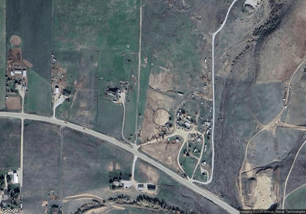
Map
Nearby Homes
- TBD Sweet Ola Hwy
- Lot 1 Jake Ln
- Lot 2 Jake Ln
- Lot 7 Jake Ln
- 4001 Harmony Ln
- 5880 Sweet Ola Hwy
- 11980 N Highway 52
- 5400 Montour Rd
- 5375 Montour Rd
- 6501 Sweet Ola Hwy
- 8011 Westridge Ln
- 9605 Darnell Rd Unit Darnell Rd
- 7241 Sweet Ola Hwy
- 5208 Highway 52
- TBD
- TBD Pheasant Ln Lot 3
- TBD Pheasant Ln Lot 6
- TBD Pheasant Ln Lot 2
- 107 Shirley Ln
- 18 Teal Ln
- 10770 N Highway 52
- 10700 N Highway 52
- 10705 N Highway 52
- 11000 N Highway 52
- 11000 N Hwy 52
- 10730 N Highway 52
- 10800 Montour Main St
- 10720 N Highway 52
- 10691 N Highway 52
- 10675 N Highway 52
- 10300 N Highway 52
- 10665 N Highway 52
- 10100 Shelley Ave
- 9925 N Highway 52
- TBD Harmony Ln
- 10200 Wild Horse Cir
- 10250 Wildhorse Cir
- 8+ acres N Highway 52
- 9850 N Highway 52
- 9850 N Highway 52