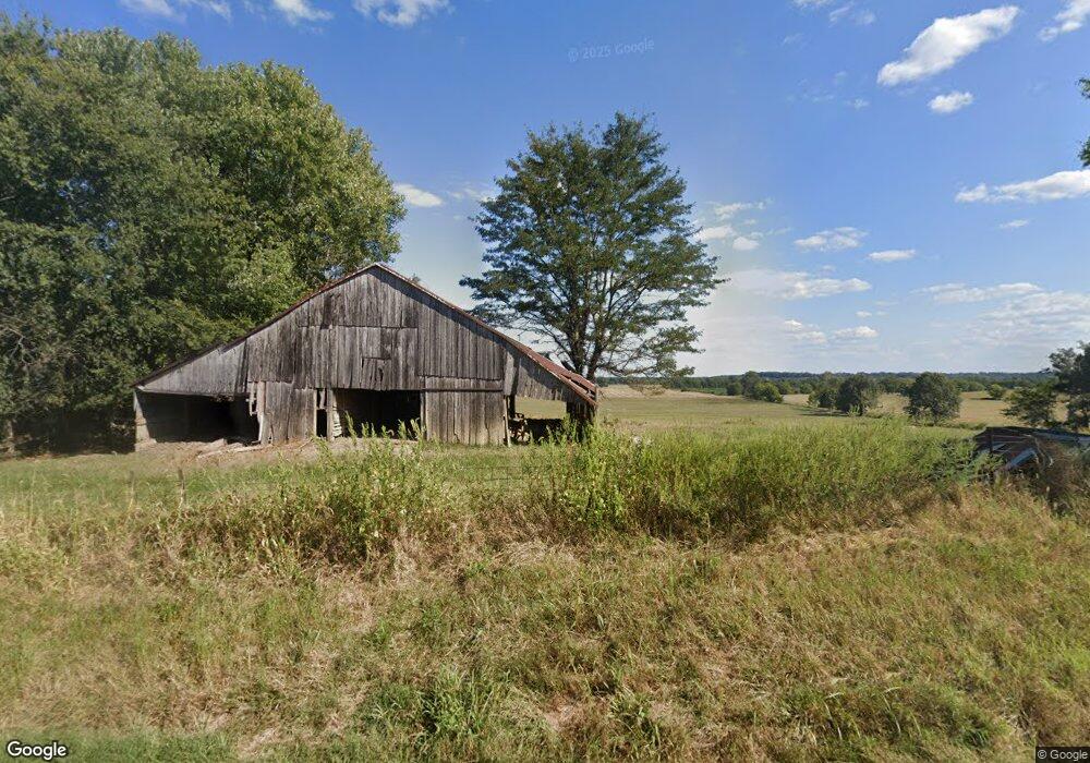
Estimated Value: $145,000 - $301,471
3
Beds
2
Baths
1,869
Sq Ft
$137/Sq Ft
Est. Value
About This Home
This home is located at 10800 State Route 132 W, Clay, KY 42404 and is currently estimated at $255,368, approximately $136 per square foot. 10800 State Route 132 W is a home located in Webster County with nearby schools including Webster County High School.
Ownership History
Date
Name
Owned For
Owner Type
Purchase Details
Closed on
Jul 31, 2012
Sold by
Phillips Steven Ray and Phillips Stacia N
Bought by
Curry Jon R and Curry Tracy L
Current Estimated Value
Home Financials for this Owner
Home Financials are based on the most recent Mortgage that was taken out on this home.
Original Mortgage
$120,000
Outstanding Balance
$83,052
Interest Rate
3.65%
Mortgage Type
New Conventional
Estimated Equity
$172,316
Create a Home Valuation Report for This Property
The Home Valuation Report is an in-depth analysis detailing your home's value as well as a comparison with similar homes in the area
Home Values in the Area
Average Home Value in this Area
Purchase History
| Date | Buyer | Sale Price | Title Company |
|---|---|---|---|
| Curry Jon R | $150,000 | None Available |
Source: Public Records
Mortgage History
| Date | Status | Borrower | Loan Amount |
|---|---|---|---|
| Open | Curry Jon R | $120,000 |
Source: Public Records
Tax History Compared to Growth
Tax History
| Year | Tax Paid | Tax Assessment Tax Assessment Total Assessment is a certain percentage of the fair market value that is determined by local assessors to be the total taxable value of land and additions on the property. | Land | Improvement |
|---|---|---|---|---|
| 2024 | $2,244 | $199,800 | $0 | $0 |
| 2023 | $2,042 | $180,900 | $0 | $0 |
| 2022 | $2,050 | $180,900 | $0 | $0 |
| 2021 | $2,082 | $180,900 | $0 | $0 |
| 2020 | $2,114 | $180,900 | $0 | $0 |
| 2019 | $1,930 | $169,300 | $0 | $0 |
| 2018 | $1,927 | $169,300 | $0 | $0 |
| 2017 | $1,874 | $169,300 | $0 | $0 |
| 2016 | $1,796 | $169,300 | $0 | $0 |
| 2015 | -- | $156,000 | $0 | $0 |
| 2012 | -- | $149,500 | $0 | $0 |
Source: Public Records
Map
Nearby Homes
- 329 W Railroad St
- 154 Taylor St
- 86 Taylor St
- 68 Nelson St
- 19 Russell St
- 8618 State Route 132 W
- 3535 State Route 2837
- 4793 S St Rt 109
- 0 Sullivan Rd Unit LotWP001
- 173 Green Rd
- 105 Ewing Place
- 12135 U S 60
- 0 Bellville Rd
- 314 N Willow St
- 201 Marlin St
- 106 N Broadway St
- 200 N Finley Ave
- 130 E Main St
- 1501 Old Henderson Rd
- 000 Kentucky 120
- 10988 State Route 132 W
- 11024 State Route 132 W
- 10515 State Route 132 W
- 674 State Route 493
- 10370 State Route 132 W
- 660 State Route 493
- 10294 State Route 132 W
- 759 State Route 493
- 10160 State Route 132 W
- 14050 State Route 132 W
- 84 Fairmont Mine Rd
- 553 Cline Nelson Rd
- 9865 State Route 132 W
- 1382 State Route 493
- 9821 State Route 132 W
- 1595 W Elm St
