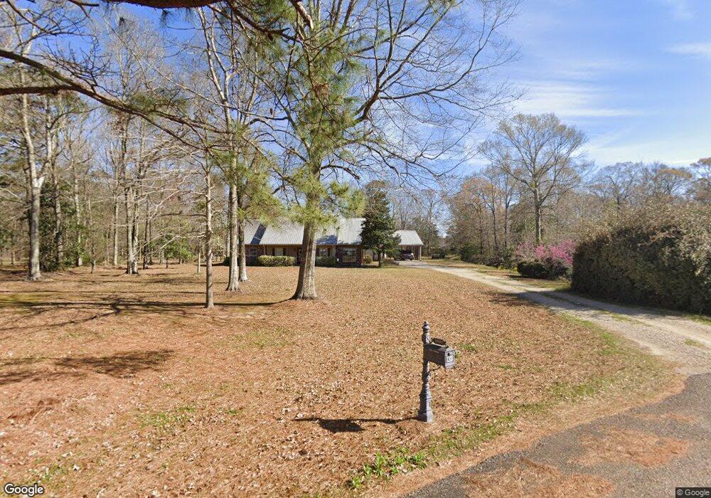
10801 Lindsay Ln Denham Springs, LA 70726
Estimated Value: $384,761 - $443,000
3
Beds
3
Baths
1,927
Sq Ft
$215/Sq Ft
Est. Value
About This Home
This home is located at 10801 Lindsay Ln, Denham Springs, LA 70726 and is currently estimated at $413,881, approximately $214 per square foot. 10801 Lindsay Ln is a home located in Livingston Parish with nearby schools including Seventh Ward Elementary School, Juban Parc Junior High School, and Denham Springs Freshman High School.
Ownership History
Date
Name
Owned For
Owner Type
Purchase Details
Closed on
Apr 23, 2024
Sold by
Parish Of Livingston and Bank Of St Francisville
Bought by
Tdp Group Llc and Beeland Properties Llc
Current Estimated Value
Purchase Details
Closed on
Dec 5, 2014
Sold by
Brown Joshua I and Kron Kevin
Bought by
Bencaz Brandon Michael and Bencaz Cnythia Ammons
Home Financials for this Owner
Home Financials are based on the most recent Mortgage that was taken out on this home.
Original Mortgage
$198,000
Interest Rate
4.04%
Mortgage Type
New Conventional
Create a Home Valuation Report for This Property
The Home Valuation Report is an in-depth analysis detailing your home's value as well as a comparison with similar homes in the area
Home Values in the Area
Average Home Value in this Area
Purchase History
| Date | Buyer | Sale Price | Title Company |
|---|---|---|---|
| Tdp Group Llc | -- | None Listed On Document | |
| Bencaz Brandon Michael | $247,500 | Gulf Coast Title Inc |
Source: Public Records
Mortgage History
| Date | Status | Borrower | Loan Amount |
|---|---|---|---|
| Previous Owner | Bencaz Brandon Michael | $198,000 | |
| Previous Owner | Brown Joshua I | $232,050 | |
| Previous Owner | Brown Joshua I | $226,800 |
Source: Public Records
Tax History Compared to Growth
Tax History
| Year | Tax Paid | Tax Assessment Tax Assessment Total Assessment is a certain percentage of the fair market value that is determined by local assessors to be the total taxable value of land and additions on the property. | Land | Improvement |
|---|---|---|---|---|
| 2024 | $2,886 | $27,459 | $4,630 | $22,829 |
| 2023 | $2,441 | $20,930 | $4,630 | $16,300 |
| 2022 | $2,458 | $20,930 | $4,630 | $16,300 |
| 2021 | $2,466 | $20,930 | $4,630 | $16,300 |
| 2020 | $2,437 | $20,930 | $4,630 | $16,300 |
| 2019 | $2,623 | $22,150 | $4,630 | $17,520 |
| 2018 | $2,659 | $22,150 | $4,630 | $17,520 |
| 2017 | $2,648 | $22,150 | $4,630 | $17,520 |
| 2015 | $1,552 | $20,470 | $4,630 | $15,840 |
| 2014 | $1,589 | $20,470 | $4,630 | $15,840 |
Source: Public Records
Map
Nearby Homes
- 26267 Avoyelles Ave
- 26222 Avoyelles Ave
- 26264 Avoyelles Ave
- 26270 Avoyelles Ave
- 26288 Avoyelles Ave
- 26351 Avoyelles Ave
- 10735 Sherrie Ln
- 26426 Avoyelles Ave
- 11257 Abbey Ln
- 10486 Sherrie Ln
- 10373 Carter Hills Ave
- TBD Brooks Dr
- 10509 Brown Rd
- 25547 Juban Rd
- 10296 Carter Hills Ave
- 0 Brooks Dr
- 26561 Acadia Ct
- 11372 Pleasant Knoll Dr
- 11336 Meadow View Dr
- 11411 Pleasant Knoll Dr
- 10801 Lindsay Ln
- 10773 Lindsay Ln
- 25891 Bear Rd
- 10735 Lindsay Ln
- 25894 Bear Rd
- 25890 Oak Hill Rd
- 10703 Lindsay Ln
- 10703 Lindsay Ln
- 26149 Avoyelles Ave
- 26241 Avoyelles Ave
- 26153 Avoyelles Ave
- 26235 Avoyelles Ave
- 25853 Bear Rd
- 25850 Bear Rd
- 26247 Avoyelles Ave
- 26145 Avoyelles Ave
- 26161 Avoyelles Ave
- 26229 Avoyelles Ave
- 26223 Avoyelles Ave
- 26217 Avoyelles Ave