10801 Marriottsville Rd Randallstown, MD 21133
Woodstock NeighborhoodEstimated Value: $2,863,552
--
Bed
--
Bath
--
Sq Ft
209.73
Acres
About This Home
This home is located at 10801 Marriottsville Rd, Randallstown, MD 21133 and is currently estimated at $2,863,552. 10801 Marriottsville Rd is a home located in Baltimore County with nearby schools including Hernwood Elementary School, Deer Park Middle Magnet School, and New Town High.
Ownership History
Date
Name
Owned For
Owner Type
Purchase Details
Closed on
Aug 12, 2013
Sold by
Mangione Mary C
Bought by
Hernwood Land Llc
Current Estimated Value
Purchase Details
Closed on
Jul 31, 2013
Sold by
Mangione Mary C and Estate Of Nicholas B Mangione
Bought by
Mangione Mary C
Purchase Details
Closed on
May 25, 1999
Sold by
Rhode Charles Martin
Bought by
Mangione Nicholas B
Purchase Details
Closed on
May 7, 1997
Sold by
Macnamara Gael Rhode
Bought by
Rhode Charles Martin and Rhode Margaret Puryear
Create a Home Valuation Report for This Property
The Home Valuation Report is an in-depth analysis detailing your home's value as well as a comparison with similar homes in the area
Home Values in the Area
Average Home Value in this Area
Purchase History
| Date | Buyer | Sale Price | Title Company |
|---|---|---|---|
| Hernwood Land Llc | -- | None Available | |
| Mangione Mary C | -- | None Available | |
| Mangione Nicholas B | $928,000 | -- | |
| Rhode Charles Martin | -- | -- |
Source: Public Records
Tax History Compared to Growth
Tax History
| Year | Tax Paid | Tax Assessment Tax Assessment Total Assessment is a certain percentage of the fair market value that is determined by local assessors to be the total taxable value of land and additions on the property. | Land | Improvement |
|---|---|---|---|---|
| 2025 | $679 | $56,300 | $56,300 | -- |
| 2024 | $679 | $56,300 | $56,300 | $0 |
| 2023 | $341 | $56,300 | $56,300 | $0 |
| 2022 | $676 | $56,300 | $56,300 | $0 |
| 2021 | $682 | $56,300 | $56,300 | $0 |
| 2020 | $682 | $56,300 | $56,300 | $0 |
| 2019 | $682 | $56,300 | $56,300 | $0 |
| 2018 | $682 | $56,300 | $56,300 | $0 |
| 2017 | $676 | $56,300 | $0 | $0 |
| 2016 | $676 | $56,300 | $0 | $0 |
| 2015 | $676 | $56,300 | $0 | $0 |
| 2014 | $676 | $56,300 | $0 | $0 |
Source: Public Records
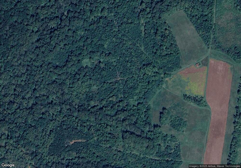
Map
Nearby Homes
- 10520 Marriottsville Rd
- 4129 Holbrook Rd
- 4133 Holbrook Rd
- 10301 Marriottsville Rd
- 4107 Holbrook Rd
- 3618 Granite Rd
- 3904 Wards Chapel Rd
- 3517 Kings Point Rd
- 30 Sheraton Rd
- 10702 Liberty Rd
- 3525 Cabot Rd
- 9605 Mendoza Rd
- 9804 Marriottsville Rd
- 3200 Peddicoat Ct
- 11120 Liberty Rd
- 3803 Marriottsville Rd
- 3827 Rayton Rd
- 3538 Corn Stream Rd
- 9931 Tuscarora Rd
- 4264 Cayuga Rd
- 10900 Marriottsville Rd
- 10912 Marriottsville Rd
- 10914 Marriottsville Rd
- 10906 Marriottsville Rd
- 3520 Hernwood Rd
- 3516 Hernwood Rd
- 3422 Hernwood Rd
- 10800 Marriottsville Rd
- 3500 Hernwood Rd
- 0 Marriottsville Rd Unit 1000471328
- 0 Marriottsville Rd Unit 1006532822
- 0 Marriottsville Rd Unit 1006308492
- 0 Marriottsville Rd Unit MDBC467002
- 10720 Marriottsville Rd
- 3510 Hernwood Rd
- 3829 Powells Run Rd
- 10707 Marriottsville Rd
- 3416 Hernwood Rd
- 10712 Marriottsville Rd
- 3530 Hernwood Rd