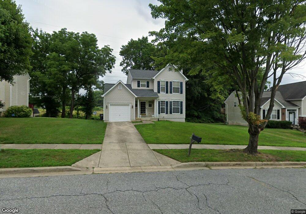
10802 Pookey Way Upper Marlboro, MD 20774
Estimated Value: $396,774 - $486,000
4
Beds
4
Baths
1,360
Sq Ft
$315/Sq Ft
Est. Value
About This Home
This home is located at 10802 Pookey Way, Upper Marlboro, MD 20774 and is currently estimated at $428,694, approximately $315 per square foot. 10802 Pookey Way is a home located in Prince George's County with nearby schools including Arrowhead Elementary School, Kettering Middle School, and Largo High School.
Ownership History
Date
Name
Owned For
Owner Type
Purchase Details
Closed on
Jan 29, 1998
Sold by
Secretary Of Veterans Affairs
Bought by
Wyatt Felicia
Current Estimated Value
Purchase Details
Closed on
Apr 30, 1997
Sold by
Johnson George S and Johnson Janet D
Bought by
Secretary Of Veterans Affairs
Purchase Details
Closed on
Sep 27, 1994
Sold by
Washington Homes Inc
Bought by
Johnson George S
Home Financials for this Owner
Home Financials are based on the most recent Mortgage that was taken out on this home.
Original Mortgage
$182,361
Interest Rate
8.56%
Create a Home Valuation Report for This Property
The Home Valuation Report is an in-depth analysis detailing your home's value as well as a comparison with similar homes in the area
Home Values in the Area
Average Home Value in this Area
Purchase History
| Date | Buyer | Sale Price | Title Company |
|---|---|---|---|
| Wyatt Felicia | $154,000 | -- | |
| Secretary Of Veterans Affairs | $134,126 | -- | |
| Johnson George S | $177,086 | -- |
Source: Public Records
Mortgage History
| Date | Status | Borrower | Loan Amount |
|---|---|---|---|
| Previous Owner | Johnson George S | $182,361 |
Source: Public Records
Tax History Compared to Growth
Tax History
| Year | Tax Paid | Tax Assessment Tax Assessment Total Assessment is a certain percentage of the fair market value that is determined by local assessors to be the total taxable value of land and additions on the property. | Land | Improvement |
|---|---|---|---|---|
| 2024 | $5,787 | $378,533 | $0 | $0 |
| 2023 | $2,974 | $371,000 | $91,400 | $279,600 |
| 2022 | $5,232 | $341,233 | $0 | $0 |
| 2021 | $5,026 | $311,467 | $0 | $0 |
| 2020 | $4,584 | $281,700 | $70,700 | $211,000 |
| 2019 | $4,381 | $268,033 | $0 | $0 |
| 2018 | $4,178 | $254,367 | $0 | $0 |
| 2017 | $4,545 | $240,700 | $0 | $0 |
| 2016 | -- | $232,600 | $0 | $0 |
| 2015 | $4,193 | $224,500 | $0 | $0 |
| 2014 | $4,193 | $216,400 | $0 | $0 |
Source: Public Records
Map
Nearby Homes
- 1600 Ora Lea Ln
- 10900 New Salem Ave
- 1510 Sacramento St
- 10513 Broadleaf Dr
- 1204 Northern Lights Dr
- 11200 Lenox Dr
- Cape May Plan at The Venue
- 0001 Good Faith Way
- 9612 Good Faith Way
- 9622 Good Faith Way
- 9631 Good Faith Way
- 1020 Drexelgate Ln
- 905 Faber Place
- 730 Parev Way
- 9603 Good Faith Way
- 9607 Good Faith Way
- 9605 Good Faith Way
- 1617 Morning Star Ct
- 9613 Good Faith Way
- 9615 Good Faith Way
- 10800 Pookey Way
- 10804 Pookey Way
- 10714 Pookey Way
- 10711 Birdie Ln
- 10808 Pookey Way
- 10803 Pookey Way
- 10806 Pookey Way
- 10712 Pookey Way
- 10807 Pookey Way
- 10713 Pookey Way
- 10710 Pookey Way
- 10709 Birdie Ln
- 10711 Pookey Way
- 10706 Birdie Ln
- 10708 Pookey Way
- 1214 Pickering Cir
- 1216 Pickering Cir
- 10707 Birdie Ln
- 10709 Pookey Way
- 1212 Pickering Cir