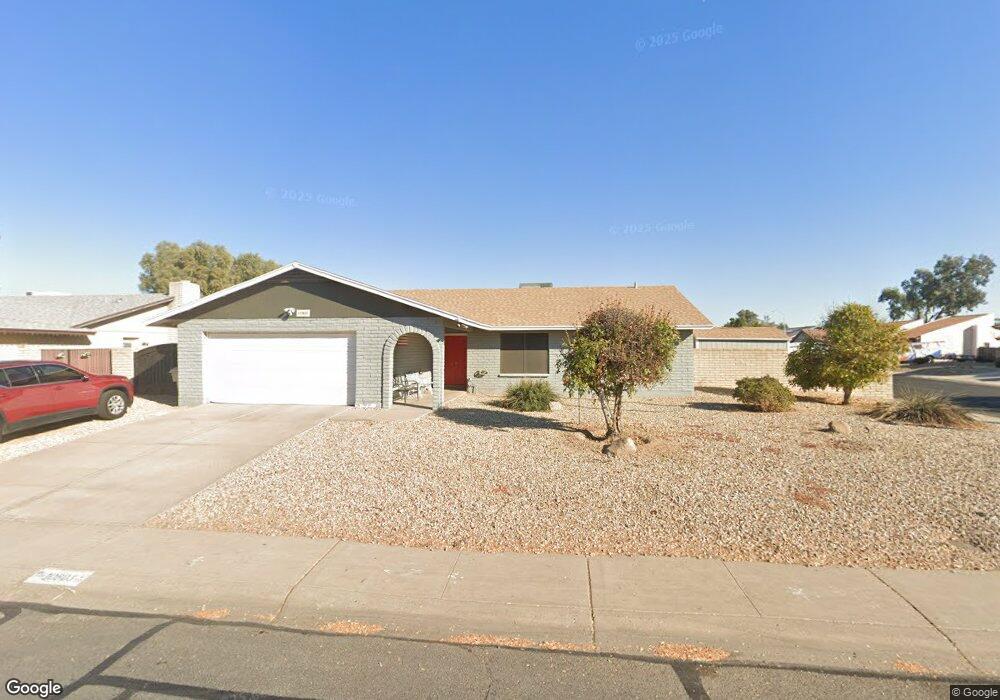
10803 N 53rd Ave Glendale, AZ 85304
Estimated Value: $312,341 - $405,000
3
Beds
2
Baths
1,647
Sq Ft
$229/Sq Ft
Est. Value
About This Home
This home is located at 10803 N 53rd Ave, Glendale, AZ 85304 and is currently estimated at $377,835, approximately $229 per square foot. 10803 N 53rd Ave is a home located in Maricopa County with nearby schools including Desert Palms Elementary School, Ironwood High School, and Heritage Academy - Pointe.
Ownership History
Date
Name
Owned For
Owner Type
Purchase Details
Closed on
Jan 24, 2008
Sold by
Coombs Robert W and Coombs Lynnette
Bought by
Villaponds Rodney and Villaponds Connie F
Current Estimated Value
Home Financials for this Owner
Home Financials are based on the most recent Mortgage that was taken out on this home.
Original Mortgage
$200,000
Outstanding Balance
$122,783
Interest Rate
5.64%
Mortgage Type
New Conventional
Estimated Equity
$255,052
Create a Home Valuation Report for This Property
The Home Valuation Report is an in-depth analysis detailing your home's value as well as a comparison with similar homes in the area
Home Values in the Area
Average Home Value in this Area
Purchase History
| Date | Buyer | Sale Price | Title Company |
|---|---|---|---|
| Villaponds Rodney | $200,000 | First American Title Insuran |
Source: Public Records
Mortgage History
| Date | Status | Borrower | Loan Amount |
|---|---|---|---|
| Open | Villaponds Rodney | $200,000 |
Source: Public Records
Tax History Compared to Growth
Tax History
| Year | Tax Paid | Tax Assessment Tax Assessment Total Assessment is a certain percentage of the fair market value that is determined by local assessors to be the total taxable value of land and additions on the property. | Land | Improvement |
|---|---|---|---|---|
| 2025 | $963 | $12,643 | -- | -- |
| 2024 | $983 | $12,041 | -- | -- |
| 2023 | $983 | $27,820 | $5,560 | $22,260 |
| 2022 | $974 | $21,350 | $4,270 | $17,080 |
| 2021 | $1,046 | $19,610 | $3,920 | $15,690 |
| 2020 | $1,062 | $18,180 | $3,630 | $14,550 |
| 2019 | $1,032 | $16,400 | $3,280 | $13,120 |
| 2018 | $1,008 | $15,180 | $3,030 | $12,150 |
| 2017 | $1,015 | $13,460 | $2,690 | $10,770 |
| 2016 | $1,008 | $12,620 | $2,520 | $10,100 |
| 2015 | $946 | $12,220 | $2,440 | $9,780 |
Source: Public Records
Map
Nearby Homes
- 5236 W Peoria Ave Unit 202
- 5131 W Christy Dr
- 10608 N 53rd Cir
- 11051 N 53rd Ave
- 5323 W North Ln
- 10803 N 55th Ave
- 5407 W North Ln
- 5039 W Mercer Ln Unit 3
- 5214 W Cholla St
- 5633 W Saguaro Dr
- 11241 N 50th Ave
- 11402 N 50th Ave
- 5651 W Mescal St
- 5674 W North Ln
- 4930 W Beryl Ave
- 10820 N 57th Dr
- 5210 W Ironwood Dr
- 10227 N 56th Dr
- 4932 W Cheryl Dr
- Faustus Plan at Marlowe
- 10809 N 53rd Ave
- 10802 N 52nd Dr
- 10808 N 52nd Dr
- 5304 W Christy Dr
- 5245 W Christy Dr
- 10815 N 53rd Ave
- 5239 W Christy Dr
- 10814 N 52nd Dr
- 5301 W Mercer Ln
- 5303 W Christy Dr
- 5233 W Christy Dr
- 5310 W Christy Dr
- 5226 W Christy Dr
- 10821 N 53rd Dr
- 5307 W Mercer Ln
- 5225 W Mercer Ln
- 10821 N 53rd Ave
- 10820 N 52nd Dr
- 5227 W Christy Dr
- 5309 W Christy Dr