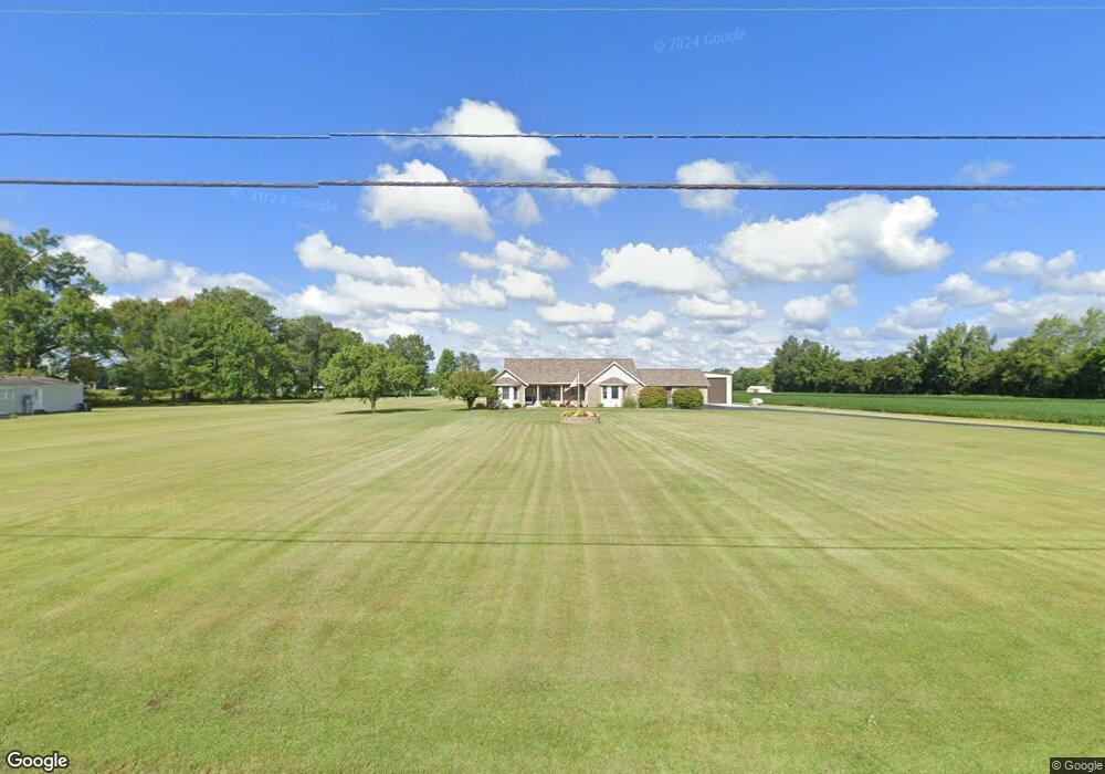
10803 State Route 774 Hamersville, OH 45130
Estimated Value: $183,000 - $229,000
3
Beds
1
Bath
1,452
Sq Ft
$141/Sq Ft
Est. Value
About This Home
This home is located at 10803 State Route 774, Hamersville, OH 45130 and is currently estimated at $204,130, approximately $140 per square foot. 10803 State Route 774 is a home located in Brown County with nearby schools including Western Brown High School.
Ownership History
Date
Name
Owned For
Owner Type
Purchase Details
Closed on
Jan 2, 2008
Sold by
Sass Louis
Bought by
Mckinney Mark S and Mckinney Gretchen
Current Estimated Value
Purchase Details
Closed on
Dec 23, 1994
Sold by
Parker Elsa C
Bought by
Whisman Shad E
Home Financials for this Owner
Home Financials are based on the most recent Mortgage that was taken out on this home.
Original Mortgage
$59,400
Interest Rate
9.19%
Create a Home Valuation Report for This Property
The Home Valuation Report is an in-depth analysis detailing your home's value as well as a comparison with similar homes in the area
Home Values in the Area
Average Home Value in this Area
Purchase History
| Date | Buyer | Sale Price | Title Company |
|---|---|---|---|
| Mckinney Mark S | $72,000 | None Available | |
| Whisman Shad E | $66,000 | -- |
Source: Public Records
Mortgage History
| Date | Status | Borrower | Loan Amount |
|---|---|---|---|
| Previous Owner | Whisman Shad E | $59,400 |
Source: Public Records
Tax History Compared to Growth
Tax History
| Year | Tax Paid | Tax Assessment Tax Assessment Total Assessment is a certain percentage of the fair market value that is determined by local assessors to be the total taxable value of land and additions on the property. | Land | Improvement |
|---|---|---|---|---|
| 2024 | $1,574 | $50,920 | $8,060 | $42,860 |
| 2023 | $1,574 | $37,450 | $5,800 | $31,650 |
| 2022 | $1,267 | $37,450 | $5,800 | $31,650 |
| 2021 | $1,254 | $37,450 | $5,800 | $31,650 |
| 2020 | $1,132 | $32,570 | $5,040 | $27,530 |
| 2019 | $603 | $32,570 | $5,040 | $27,530 |
| 2018 | $1,069 | $32,570 | $5,040 | $27,530 |
| 2017 | $931 | $28,580 | $5,540 | $23,040 |
| 2016 | $930 | $28,580 | $5,540 | $23,040 |
| 2015 | $952 | $28,580 | $5,540 | $23,040 |
| 2014 | $952 | $28,080 | $5,040 | $23,040 |
| 2013 | $949 | $28,080 | $5,040 | $23,040 |
Source: Public Records
Map
Nearby Homes
- 3363 Ohio 774
- 1729 Ohio 774
- ac Ohio 774
- 109 Adkins Place
- 49-acres Yankeetown Rd
- 23-acres Yankeetown Rd
- acres Yankeetown Rd
- 0 Fite Ave
- 2724 Lucas Rd
- 1412 St Rt 125
- 10300 St Rt 774
- 11026 Stratton Rd
- 9488 Daugherty Marks Rd
- 0 Colthar Rd Unit 1822757
- 9291 Daugherty Marks Rd
- 11475 Colthar Rd
- 2349 Oak Corner Rd
- 2012 Bethel Maple Rd
- 1504 Feesburg-Poetown Rd
- 11818 Cloverlick Rd
- 10803 State Route 774
- 10803 State Route 774
- 10803 State Route 774
- 10749 State Route 774
- 10749 State Route 774
- 10841 State Route 774
- 10731 State Route 774
- 1713 Ohio 774
- 10724 State Route 774
- ac Ohio 774
- 9 Ohio 774
- 3 Ohio 774
- 10866 Ohio 774
- 10866 State Route 774
- 155 N Orchard Dr
- 137 N Orchard St
- 137 N Orchard Dr
- 148 North Ave
- 140 North Ave
- 131 N Orchard Dr