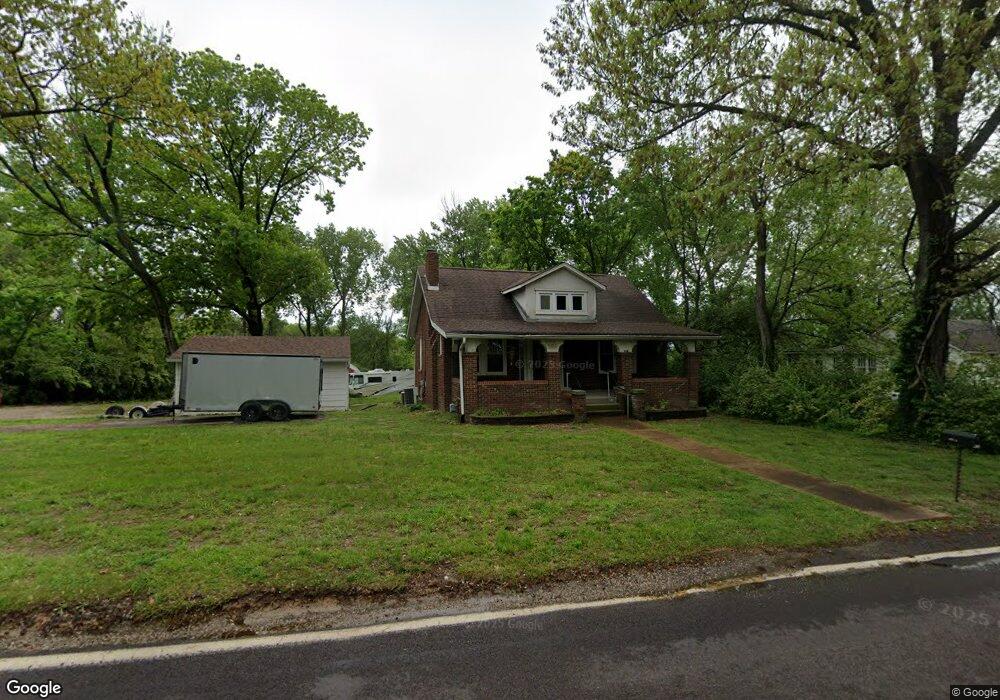
10804 N Warson Rd Saint Louis, MO 63114
Estimated Value: $164,030 - $188,000
1
Bed
1
Bath
926
Sq Ft
$191/Sq Ft
Est. Value
About This Home
This home is located at 10804 N Warson Rd, Saint Louis, MO 63114 and is currently estimated at $176,508, approximately $190 per square foot. 10804 N Warson Rd is a home located in St. Louis County with nearby schools including Willow Brook Elementary School, Pattonville Heights Middle School, and Pattonville High School.
Ownership History
Date
Name
Owned For
Owner Type
Purchase Details
Closed on
Sep 7, 2001
Sold by
Shepard Edward A and Shepard Heidi
Bought by
Shepard Edward A and Shepard Heidi
Current Estimated Value
Home Financials for this Owner
Home Financials are based on the most recent Mortgage that was taken out on this home.
Original Mortgage
$88,000
Interest Rate
6.5%
Create a Home Valuation Report for This Property
The Home Valuation Report is an in-depth analysis detailing your home's value as well as a comparison with similar homes in the area
Home Values in the Area
Average Home Value in this Area
Purchase History
| Date | Buyer | Sale Price | Title Company |
|---|---|---|---|
| Shepard Edward A | -- | -- |
Source: Public Records
Mortgage History
| Date | Status | Borrower | Loan Amount |
|---|---|---|---|
| Closed | Shepard Edward A | $88,000 |
Source: Public Records
Tax History
| Year | Tax Paid | Tax Assessment Tax Assessment Total Assessment is a certain percentage of the fair market value that is determined by local assessors to be the total taxable value of land and additions on the property. | Land | Improvement |
|---|---|---|---|---|
| 2025 | $2,312 | $29,930 | $9,350 | $20,580 |
| 2024 | $2,312 | $30,010 | $7,490 | $22,520 |
| 2023 | $2,312 | $30,010 | $7,490 | $22,520 |
| 2022 | $1,744 | $20,330 | $4,940 | $15,390 |
| 2021 | $1,737 | $20,330 | $4,940 | $15,390 |
| 2020 | $1,375 | $15,390 | $4,690 | $10,700 |
| 2019 | $1,368 | $15,390 | $4,690 | $10,700 |
| 2018 | $1,329 | $13,550 | $4,280 | $9,270 |
| 2017 | $1,329 | $13,550 | $4,280 | $9,270 |
| 2016 | $1,339 | $13,610 | $4,280 | $9,330 |
Source: Public Records
Map
Nearby Homes
- 2331 Kratky Rd Unit E
- 2339 Kratky Rd Unit A
- 10724 Lacklink Rd
- 2627 Bruno Ave
- 10627 Canter Way
- 2454 Prouhet Ave
- 2612 White Manor Ct
- 10518 Briston Ct
- 2412 Silkwood Dr
- 10510 Briston Ct Unit 1C
- 10500 Silkwood Ct
- 2719 Francis Ave
- 10651 Thorpe Ave
- 10643 Thorpe Ave
- 10730 Wurdack Ave
- 1560 Willowbrooke Manors Ct
- 10563 Decker Ave
- 10532 Decker Ave
- 1805 Uceyle Ave
- 10276 Niblic
- 10810 N Warson Rd
- 2265 N Warson Rd
- 10814 N Warson Rd
- 10809 N Warson Rd
- 10805 N Warson Rd
- 2301 Waukon Dr
- 2290 Ruckert Ave
- 10811 N Warson Rd
- 2280 Ruckert Ave
- 2300 Waukon Dr
- 10830 Ritter Dr
- 10815 N Warson Rd
- 10836 Ritter Dr
- 2309 Waukon Dr
- 10906 N Warson Rd
- 2300 Ruckert Ave
- 2242 N Warson Rd
- 2233 N Warson Rd
- 2308 Waukon Dr
- 2306 Ruckert Ave
Your Personal Tour Guide
Ask me questions while you tour the home.