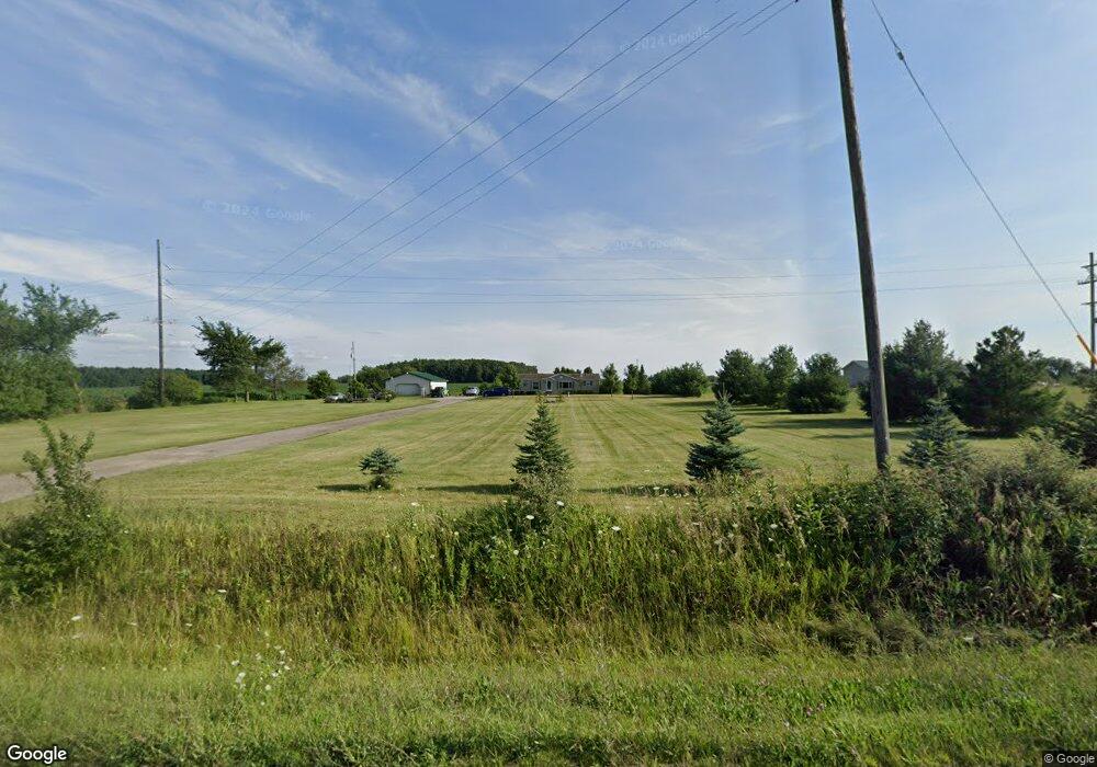
10805 Carleton Rd Clayton, MI 49235
Estimated Value: $144,000 - $196,000
--
Bed
1
Bath
1,426
Sq Ft
$119/Sq Ft
Est. Value
About This Home
This home is located at 10805 Carleton Rd, Clayton, MI 49235 and is currently estimated at $170,000, approximately $119 per square foot. 10805 Carleton Rd is a home located in Lenawee County with nearby schools including Lincoln Elementary School, Southern Michigan Center For Science & Industry (SMCSI), and Hudson Middle School.
Ownership History
Date
Name
Owned For
Owner Type
Purchase Details
Closed on
Mar 26, 2018
Sold by
Bumgarner Craig P
Bought by
Bumgarner Craig P
Current Estimated Value
Home Financials for this Owner
Home Financials are based on the most recent Mortgage that was taken out on this home.
Original Mortgage
$111,241
Outstanding Balance
$95,576
Interest Rate
4.4%
Mortgage Type
Purchase Money Mortgage
Estimated Equity
$74,424
Purchase Details
Closed on
Jun 5, 2002
Bought by
Bumgarner Craig P and Bumgarner Laynette
Create a Home Valuation Report for This Property
The Home Valuation Report is an in-depth analysis detailing your home's value as well as a comparison with similar homes in the area
Home Values in the Area
Average Home Value in this Area
Purchase History
| Date | Buyer | Sale Price | Title Company |
|---|---|---|---|
| Bumgarner Craig P | -- | -- | |
| Bumgarner Craig P | $24,900 | -- |
Source: Public Records
Mortgage History
| Date | Status | Borrower | Loan Amount |
|---|---|---|---|
| Open | Bumgarner Craig P | $111,241 |
Source: Public Records
Tax History Compared to Growth
Tax History
| Year | Tax Paid | Tax Assessment Tax Assessment Total Assessment is a certain percentage of the fair market value that is determined by local assessors to be the total taxable value of land and additions on the property. | Land | Improvement |
|---|---|---|---|---|
| 2025 | $1,762 | $68,100 | $0 | $0 |
| 2024 | $1,476 | $66,600 | $0 | $0 |
| 2022 | $611 | $56,300 | $0 | $0 |
| 2021 | $2,241 | $53,100 | $0 | $0 |
| 2020 | $2,360 | $53,000 | $0 | $0 |
| 2019 | $149,242 | $51,700 | $0 | $0 |
| 2018 | $2,022 | $51,743 | $0 | $0 |
| 2017 | $2,009 | $51,731 | $0 | $0 |
| 2016 | $2,238 | $0 | $0 | $0 |
| 2014 | -- | $0 | $0 | $0 |
Source: Public Records
Map
Nearby Homes
- 3601 Seneca St
- 11495 W Carleton Rd
- 3150 State St
- 10139 Cadmus Rd
- 9024 W Carleton Rd
- 4182 Whaley Hwy
- 6993 Morey Hwy
- 7644 Bothwell Hwy
- 6712 W Cadmus Rd
- 8160 Bothwell Hwy
- 6000 Tomer Rd
- 4675 Munson Hwy
- V/L Forrister Rd
- 111 & 115 N Market St
- 5576 W Beecher Rd
- 310 School St
- 8058 Packard Rd
- 17023 Mill St
- 542 Tiffin St
- 104 Valley Dr
- 10825 Carleton Rd
- 9000 W Carleton Rd
- 4000 Morey Hwy Unit BLK
- 10613 Carleton Rd
- 4177 Morey Hwy
- 0 Morey Hwy
- 10544 Carleton Rd
- 3899 Morey Hwy
- 3000 Seneca Hwy Unit BLK
- 4255 Morey Hwy
- 10939 S Church St
- 10915 S Church St
- 10863 S Church St
- 10841 S Church St
- 10835 S Church St
- 10969 S Church St
- 3709 Seneca St
- 10991 S Church St
- 3691 Seneca St
- 11467 Carleton Rd