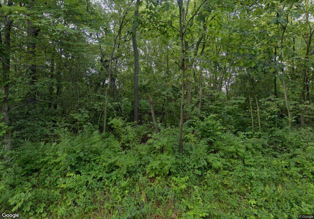
10808 Pauli Rd Dunlap, IL 61525
Estimated Value: $413,814 - $434,000
2
Beds
1
Bath
1,857
Sq Ft
$226/Sq Ft
Est. Value
About This Home
This home is located at 10808 Pauli Rd, Dunlap, IL 61525 and is currently estimated at $420,605, approximately $226 per square foot. 10808 Pauli Rd is a home located in Peoria County with nearby schools including Dunlap Grade School, Dunlap Valley Middle School, and Dunlap High School.
Ownership History
Date
Name
Owned For
Owner Type
Purchase Details
Closed on
Jan 28, 2020
Sold by
Bjerke Ronald A
Bought by
Bjerke Ronald A and Bjerke Nicole R
Current Estimated Value
Create a Home Valuation Report for This Property
The Home Valuation Report is an in-depth analysis detailing your home's value as well as a comparison with similar homes in the area
Home Values in the Area
Average Home Value in this Area
Purchase History
| Date | Buyer | Sale Price | Title Company |
|---|---|---|---|
| Bjerke Ronald A | -- | Bjerke Ronald A |
Source: Public Records
Tax History Compared to Growth
Tax History
| Year | Tax Paid | Tax Assessment Tax Assessment Total Assessment is a certain percentage of the fair market value that is determined by local assessors to be the total taxable value of land and additions on the property. | Land | Improvement |
|---|---|---|---|---|
| 2024 | $6,778 | $104,090 | $21,540 | $82,550 |
| 2023 | $6,401 | $98,200 | $20,320 | $77,880 |
| 2022 | $5,840 | $89,370 | $18,620 | $70,750 |
| 2021 | $5,603 | $85,110 | $17,730 | $67,380 |
| 2020 | $5,486 | $82,630 | $17,210 | $65,420 |
| 2019 | $5,505 | $84,310 | $17,560 | $66,750 |
| 2018 | $5,553 | $85,890 | $17,890 | $68,000 |
| 2017 | $5,866 | $89,470 | $18,640 | $70,830 |
| 2016 | $5,672 | $89,470 | $18,640 | $70,830 |
| 2015 | $5,651 | $86,030 | $17,920 | $68,110 |
| 2014 | $5,546 | $87,320 | $18,190 | $69,130 |
| 2013 | -- | $85,600 | $17,830 | $67,770 |
Source: Public Records
Map
Nearby Homes
- 11518 N Nettle Creek Dr
- 11417 N Route 91 Rd
- 11801 N Deerfield Dr
- 5821 W Dickison Cemetery Rd
- LOT 9 Crosswynd Ct
- 9825 N Route 91
- LOT 5 Crosswynd Ct
- LOT 23 W Wyndfield Dr
- LOT 22 W Wyndfield Dr
- LOT 32 W Wyndfield Dr
- LOT 21 W Wyndfield Dr
- 8818 N Westpoint Ct
- 8802 N Westpoint Ct
- 8619 Weston Place
- LOT 22 W Waterstone Way
- LOT 27 W Waterstone Way
- LOT 21 W Waterstone Way
- LOT 6 W Waterstone Way
- LOT 3 W Waterstone Way
- LOT 5 W Waterstone Way
- 10702 Pauli Rd
- 10920 Pauli Rd
- 10622 Pauli Rd
- 10917 N Trigger Rd
- 10919 Pauli Rd
- 11011 Pauli Rd
- 10623 Pauli Rd
- 0 N Trigger Rd Unit 1118556
- 0 N Trigger Rd Unit RMAPA1002575
- 11010 Pauli Rd
- 11107 N Trigger Rd
- 10526 Pauli Rd
- 10920 N Trigger Rd
- 11006 N Trigger Rd
- 11024 N Trigger Rd
- 10501 Pauli Rd
- 10914 N Trigger Rd
- 11125 N Trigger Rd
- 6225 Grange Hall Rd
