10809 Stansfield Rd Randallstown, MD 21133
Estimated Value: $750,000 - $955,000
5
Beds
5
Baths
4,444
Sq Ft
$189/Sq Ft
Est. Value
About This Home
This home is located at 10809 Stansfield Rd, Randallstown, MD 21133 and is currently estimated at $838,022, approximately $188 per square foot. 10809 Stansfield Rd is a home located in Baltimore County with nearby schools including Hernwood Elementary School, Deer Park Middle Magnet School, and New Town High.
Ownership History
Date
Name
Owned For
Owner Type
Purchase Details
Closed on
Jul 28, 2010
Sold by
Greenpoint Mortgage Funding Inc
Bought by
Williams David A and Williams Joyce P
Current Estimated Value
Purchase Details
Closed on
Jun 12, 2009
Sold by
Cypress Timothy
Bought by
Greenpoint Mortgage Funding Inc
Purchase Details
Closed on
Dec 9, 2002
Sold by
Globos International Llc
Bought by
Cypress Timothy and Cypress Joanne
Purchase Details
Closed on
Oct 4, 2001
Sold by
Passarello Timothy
Bought by
Globos International Llc
Purchase Details
Closed on
Jun 21, 1999
Sold by
Cole Henry
Bought by
Passarello Timothy
Create a Home Valuation Report for This Property
The Home Valuation Report is an in-depth analysis detailing your home's value as well as a comparison with similar homes in the area
Home Values in the Area
Average Home Value in this Area
Purchase History
| Date | Buyer | Sale Price | Title Company |
|---|---|---|---|
| Williams David A | $455,000 | -- | |
| Greenpoint Mortgage Funding Inc | $567,000 | -- | |
| Cypress Timothy | $585,000 | -- | |
| Globos International Llc | $155,000 | -- | |
| Passarello Timothy | $750,000 | -- |
Source: Public Records
Tax History Compared to Growth
Tax History
| Year | Tax Paid | Tax Assessment Tax Assessment Total Assessment is a certain percentage of the fair market value that is determined by local assessors to be the total taxable value of land and additions on the property. | Land | Improvement |
|---|---|---|---|---|
| 2025 | $3,645 | $795,067 | -- | -- |
| 2024 | $3,645 | $711,600 | $107,500 | $604,100 |
| 2023 | $4,288 | $702,667 | $0 | $0 |
| 2022 | $8,392 | $693,733 | $0 | $0 |
| 2021 | $8,117 | $684,800 | $107,500 | $577,300 |
| 2020 | $8,117 | $664,733 | $0 | $0 |
| 2019 | $7,873 | $644,667 | $0 | $0 |
| 2018 | $7,630 | $624,600 | $107,500 | $517,100 |
| 2017 | $7,530 | $622,567 | $0 | $0 |
| 2016 | $7,379 | $620,533 | $0 | $0 |
| 2015 | $7,379 | $618,500 | $0 | $0 |
| 2014 | $7,379 | $616,300 | $0 | $0 |
Source: Public Records
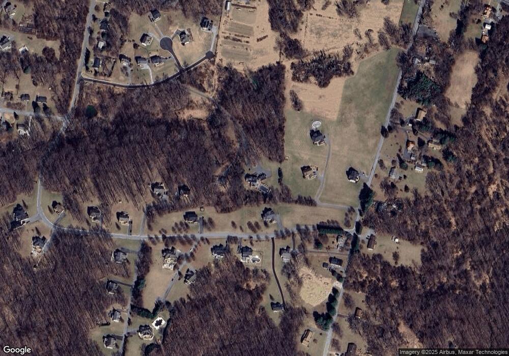
Map
Nearby Homes
- 10702 Liberty Rd
- 0 Steffeny Rd
- 4107 Holbrook Rd
- 4133 Holbrook Rd
- 4129 Holbrook Rd
- 3900 Falls Run Rd
- 11120 Liberty Rd
- 11330 Liberty Rd
- 11 Liberty Ridge Ct
- 10520 Marriottsville Rd
- 4615 Deer Park Rd
- 10007 Lyons Mill Rd
- 3904 Wards Chapel Rd
- 5010 Wards Chapel Rd
- 10301 Marriottsville Rd
- 3618 Granite Rd
- 38 Millstone Rd
- 9998 Tuscarora Rd
- 30 Sheraton Rd
- 4264 Cayuga Rd
- 10809 Stansfield Rd
- 10811 Liberty Rd
- 10700 Chapeldale Rd
- 4320 Holbrook Rd
- 10704 Chapeldale Rd
- 4351 Chapeldale Rd
- 10705 Chapeldale Rd
- 4322 Holbrook Rd
- 10707 Chapeldale Rd
- 10701 Chapeldale Rd
- 4353 Chapeldale Rd
- 4314 Holbrook Rd
- 4330 Holbrook Rd
- 10717 Chapeldale Rd
- 4310 Holbrook Rd
- 10709 Chapeldale Rd
- PARCELS AB Stansfield Rd
- 4325 Holbrook Rd
- 4315 Holbrook Rd
- 10703 Chapeldale Rd