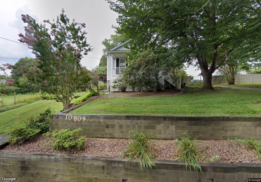
10809 Summit Ave Woodstock, MD 21163
Woodstock NeighborhoodEstimated Value: $444,356 - $612,000
3
Beds
2
Baths
1,992
Sq Ft
$265/Sq Ft
Est. Value
About This Home
This home is located at 10809 Summit Ave, Woodstock, MD 21163 and is currently estimated at $527,089, approximately $264 per square foot. 10809 Summit Ave is a home located in Baltimore County with nearby schools including Winfield Elementary School, Windsor Mill Middle School, and Randallstown High School.
Ownership History
Date
Name
Owned For
Owner Type
Purchase Details
Closed on
Nov 2, 2011
Sold by
Crum Carroll Leroy and Crum Sharon Anita
Bought by
Preis Julie Dawn
Current Estimated Value
Home Financials for this Owner
Home Financials are based on the most recent Mortgage that was taken out on this home.
Original Mortgage
$304,000
Outstanding Balance
$206,295
Interest Rate
3.92%
Mortgage Type
New Conventional
Estimated Equity
$320,794
Purchase Details
Closed on
Feb 1, 1978
Sold by
Askar Bertha
Bought by
Crum Carroll Leroy
Create a Home Valuation Report for This Property
The Home Valuation Report is an in-depth analysis detailing your home's value as well as a comparison with similar homes in the area
Home Values in the Area
Average Home Value in this Area
Purchase History
| Date | Buyer | Sale Price | Title Company |
|---|---|---|---|
| Preis Julie Dawn | $320,000 | Advantage Title Company | |
| Crum Carroll Leroy | $40,400 | -- |
Source: Public Records
Mortgage History
| Date | Status | Borrower | Loan Amount |
|---|---|---|---|
| Open | Preis Julie Dawn | $304,000 |
Source: Public Records
Tax History Compared to Growth
Tax History
| Year | Tax Paid | Tax Assessment Tax Assessment Total Assessment is a certain percentage of the fair market value that is determined by local assessors to be the total taxable value of land and additions on the property. | Land | Improvement |
|---|---|---|---|---|
| 2025 | $4,060 | $354,033 | -- | -- |
| 2024 | $4,060 | $334,600 | $95,000 | $239,600 |
| 2023 | $1,962 | $321,967 | $0 | $0 |
| 2022 | $3,741 | $309,333 | $0 | $0 |
| 2021 | $3,495 | $296,700 | $95,000 | $201,700 |
| 2020 | $3,495 | $285,967 | $0 | $0 |
| 2019 | $3,363 | $275,233 | $0 | $0 |
| 2018 | $3,236 | $264,500 | $75,000 | $189,500 |
| 2017 | $3,085 | $253,900 | $0 | $0 |
| 2016 | $2,559 | $243,300 | $0 | $0 |
| 2015 | $2,559 | $232,700 | $0 | $0 |
| 2014 | $2,559 | $230,867 | $0 | $0 |
Source: Public Records
Map
Nearby Homes
- 10719 Old Court Rd
- 10645 Davis Ave
- 10628 Saint Paul Ave
- 10313 Cavey Ln
- 9113 Dogwood Rd
- 1800 Mount Denali Dr
- 10185 Green Clover Dr
- 10205 Cabery Rd
- 3200 Peddicoat Ct
- 10162 Bracken Dr
- 2218 Bromley Ct
- 1725 Marriottsville Rd
- 1795 Marriottsville Rd
- 2208 Merion Pond
- 9350 Duff Ct
- 11100 Chambers Ct Unit C
- 11100 Chambers Ct Unit F
- 10236 Red Lion Tavern Ct
- 10203 Raleigh Tavern Ln
- 2111 Ganton Green
- 10815 Summit Ave
- 10804 Acme Ave
- 10806 Acme Ave
- 10805 Davis Ave
- 10809 Davis Ave
- 10803 Davis Ave
- 10812 Acme Ave
- 10813 Davis Ave
- 10818 Summit Ave
- 10805 Acme Ave
- 10737 Davis Ave
- 10814 Acme Ave
- 10817 Davis Ave
- 10819 Summit Ave
- 10808 Davis Ave
- 10804 Davis Ave
- 10813 Acme Ave
- 10811 Acme Ave
- 10812 Davis Ave
- 10800 Davis Ave