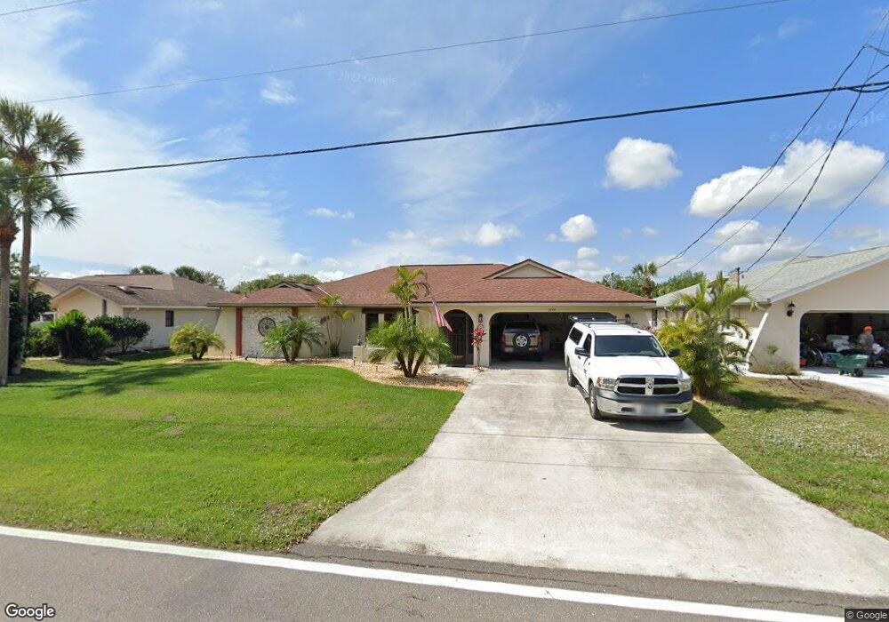
1081 Alton Rd Port Charlotte, FL 33952
Estimated Value: $365,661 - $402,000
3
Beds
2
Baths
2,180
Sq Ft
$173/Sq Ft
Est. Value
About This Home
This home is located at 1081 Alton Rd, Port Charlotte, FL 33952 and is currently estimated at $376,415, approximately $172 per square foot. 1081 Alton Rd is a home located in Charlotte County with nearby schools including Neil Armstrong Elementary School, Port Charlotte Middle School, and Port Charlotte High School.
Ownership History
Date
Name
Owned For
Owner Type
Purchase Details
Closed on
Mar 31, 2016
Sold by
Luksha Joseph M and Luksha Elizabeth A
Bought by
Davis John and Davis Cynthia
Current Estimated Value
Purchase Details
Closed on
Feb 7, 2001
Sold by
Delcastillo Roberto A and Delcastillo Agnes B
Bought by
Luksha Joseph M and Luksha Elizabeth A
Home Financials for this Owner
Home Financials are based on the most recent Mortgage that was taken out on this home.
Original Mortgage
$110,000
Interest Rate
7.16%
Create a Home Valuation Report for This Property
The Home Valuation Report is an in-depth analysis detailing your home's value as well as a comparison with similar homes in the area
Home Values in the Area
Average Home Value in this Area
Purchase History
| Date | Buyer | Sale Price | Title Company |
|---|---|---|---|
| Davis John | $255,000 | Florida Abstract & Security | |
| Luksha Joseph M | $125,000 | -- |
Source: Public Records
Mortgage History
| Date | Status | Borrower | Loan Amount |
|---|---|---|---|
| Previous Owner | Luksha Joseph M | $110,000 |
Source: Public Records
Tax History Compared to Growth
Tax History
| Year | Tax Paid | Tax Assessment Tax Assessment Total Assessment is a certain percentage of the fair market value that is determined by local assessors to be the total taxable value of land and additions on the property. | Land | Improvement |
|---|---|---|---|---|
| 2024 | $3,103 | $195,994 | -- | -- |
| 2023 | $3,103 | $190,285 | $0 | $0 |
| 2022 | $2,990 | $184,743 | $0 | $0 |
| 2021 | $2,985 | $179,362 | $0 | $0 |
| 2020 | $2,289 | $176,886 | $0 | $0 |
| 2019 | $2,830 | $172,909 | $0 | $0 |
| 2018 | $2,613 | $169,685 | $0 | $0 |
| 2017 | $2,587 | $166,195 | $7,616 | $158,579 |
| 2016 | $1,577 | $108,170 | $0 | $0 |
| 2015 | $1,072 | $107,418 | $0 | $0 |
| 2014 | $1,066 | $106,565 | $0 | $0 |
Source: Public Records
Map
Nearby Homes
- 1130 Strasburg Dr
- 1041 Strasburg Dr
- 1049 Marcus St
- 1057 Presque Isle Dr
- 1065 Marcus St
- 522 Bounds St
- 1117 Marcus St
- 1041 Bounds St
- 1026 Presque Isle Dr
- 1091 Cazenovia St
- 530 Bounds St
- 22190 Esplanade Ave
- 563 Presque Isle Dr
- 1209 Alton Rd
- 22484 Bradford Ave
- 22342 Bradford Ave
- 1017 Guild St
- 513 Bounds St
- 1224 Alton Rd
- 1141 Cazenovia St
- 1089 Alton Rd
- 1073 Alton Rd
- 1065 Alton Rd
- 1076 Alton Rd
- 1082 Strasburg Dr
- 1057 Alton Rd
- 1090 Strasburg Dr
- 1105 Alton Rd
- 1098 Alton Rd
- 1098 Strasburg Dr
- 1060 Alton Rd
- 1089 Sheehan Blvd
- 1073 Sheehan Blvd
- 1106 Alton Rd
- 1049 Alton Rd
- 1058 Strasburg Dr
- 1113 Alton Rd
- 1106 Strasburg Dr
- 1097 Sheehan Blvd
- 1065 Sheehan Blvd