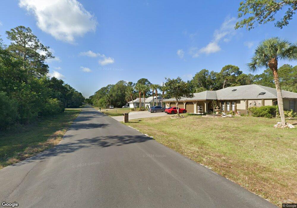
1081 Cabot St Port Charlotte, FL 33953
Northwest Port Charlotte NeighborhoodEstimated Value: $256,000 - $308,000
3
Beds
2
Baths
1,572
Sq Ft
$178/Sq Ft
Est. Value
About This Home
This home is located at 1081 Cabot St, Port Charlotte, FL 33953 and is currently estimated at $279,183, approximately $177 per square foot. 1081 Cabot St is a home located in Charlotte County with nearby schools including Liberty Elementary School, Murdock Middle School, and Port Charlotte High School.
Ownership History
Date
Name
Owned For
Owner Type
Purchase Details
Closed on
Jun 24, 2025
Sold by
Kamili Bedzet and Zulbeari Feride
Bought by
Kamili Bedzet and Zulbeari Feride
Current Estimated Value
Purchase Details
Closed on
Jun 14, 2005
Sold by
Baer Clifford and Baer Donna
Bought by
Kamili Bedzet and Zulbeari Feride
Home Financials for this Owner
Home Financials are based on the most recent Mortgage that was taken out on this home.
Original Mortgage
$157,500
Interest Rate
5.57%
Mortgage Type
Fannie Mae Freddie Mac
Create a Home Valuation Report for This Property
The Home Valuation Report is an in-depth analysis detailing your home's value as well as a comparison with similar homes in the area
Home Values in the Area
Average Home Value in this Area
Purchase History
| Date | Buyer | Sale Price | Title Company |
|---|---|---|---|
| Kamili Bedzet | $100 | None Listed On Document | |
| Kamili Bedzet | $175,000 | North Port Title Llc |
Source: Public Records
Mortgage History
| Date | Status | Borrower | Loan Amount |
|---|---|---|---|
| Previous Owner | Kamili Bedzet | $157,500 |
Source: Public Records
Tax History Compared to Growth
Tax History
| Year | Tax Paid | Tax Assessment Tax Assessment Total Assessment is a certain percentage of the fair market value that is determined by local assessors to be the total taxable value of land and additions on the property. | Land | Improvement |
|---|---|---|---|---|
| 2024 | $1,349 | $78,082 | -- | -- |
| 2023 | $1,349 | $75,808 | $0 | $0 |
| 2022 | $1,290 | $73,600 | $0 | $0 |
| 2021 | $1,288 | $71,456 | $0 | $0 |
| 2020 | $1,255 | $70,469 | $0 | $0 |
| 2019 | $1,190 | $68,885 | $0 | $0 |
| 2018 | $1,097 | $67,601 | $0 | $0 |
| 2017 | $1,092 | $66,211 | $0 | $0 |
| 2016 | $1,090 | $64,849 | $0 | $0 |
| 2015 | $1,075 | $64,398 | $0 | $0 |
| 2014 | $962 | $63,887 | $0 | $0 |
Source: Public Records
Map
Nearby Homes
- 1105 Cabot St
- 1112 Cornelius Blvd
- 1072 Cabot St
- 15074 Faulkner Ave
- 15090 Rebecca Ave
- 15074 Carousel Ln
- 430 Cornelius Blvd
- 1355 Cornelius Blvd
- 2090 Cornelius Blvd
- 1097 Cornelius Blvd
- 1056 Cornelius Blvd
- 14378 Carousel Ln
- 15130 Carousel Ln
- 15122 Carousel Ln
- 14506 Carousel Ln
- 1166 Chagrin Ln
- 14441 Racoa Ave
- 1477 Biscayne Dr
- 14433 Racoa Ave
- 14435 Grenoble Ave
- 1065 Cabot St
- 1088 Cornelius Blvd
- 1097 Cabot St
- 15040 Faulkner Ave
- 1096 Cornelius Blvd
- 1057 Cabot St
- 1112 Cabot St
- 1096 Cabot St
- 15049 Faulkner Ave
- 1056 Cabot St
- 1073 Cornelius Blvd
- 1048 Cornelius Blvd
- 1065 Cornelius Blvd
- 1105 Cornelius Blvd
- 15065 Malcolm Ave
- 15058 Malcolm Ave
- 1080 Shearer St
- 1113 Cornelius Blvd
- 1064 Shearer St
- 1129 Cabot St