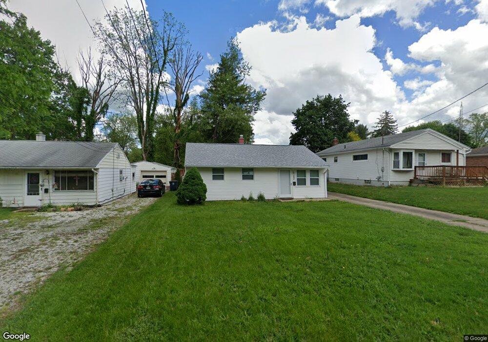
1081 Carnegie Ave Akron, OH 44314
Kenmore NeighborhoodEstimated Value: $109,486 - $149,000
3
Beds
1
Bath
864
Sq Ft
$151/Sq Ft
Est. Value
About This Home
This home is located at 1081 Carnegie Ave, Akron, OH 44314 and is currently estimated at $130,872, approximately $151 per square foot. 1081 Carnegie Ave is a home located in Summit County with nearby schools including Imagine Akron Academy and Sam Salem Community Learning Center.
Ownership History
Date
Name
Owned For
Owner Type
Purchase Details
Closed on
Mar 15, 2024
Sold by
Dale Brett and Dale Patricia K
Bought by
Mmg Holdings Llc
Current Estimated Value
Home Financials for this Owner
Home Financials are based on the most recent Mortgage that was taken out on this home.
Original Mortgage
$90,000
Outstanding Balance
$88,588
Interest Rate
6.94%
Mortgage Type
New Conventional
Estimated Equity
$42,284
Purchase Details
Closed on
Nov 8, 2023
Sold by
Harmon Lois A
Bought by
Dale Brett and Dale Patricia K
Create a Home Valuation Report for This Property
The Home Valuation Report is an in-depth analysis detailing your home's value as well as a comparison with similar homes in the area
Home Values in the Area
Average Home Value in this Area
Purchase History
| Date | Buyer | Sale Price | Title Company |
|---|---|---|---|
| Mmg Holdings Llc | -- | Cla Title & Escrow | |
| Dale Brett | $40,000 | None Listed On Document |
Source: Public Records
Mortgage History
| Date | Status | Borrower | Loan Amount |
|---|---|---|---|
| Open | Mmg Holdings Llc | $90,000 |
Source: Public Records
Tax History Compared to Growth
Tax History
| Year | Tax Paid | Tax Assessment Tax Assessment Total Assessment is a certain percentage of the fair market value that is determined by local assessors to be the total taxable value of land and additions on the property. | Land | Improvement |
|---|---|---|---|---|
| 2025 | $2,222 | $31,224 | $9,405 | $21,819 |
| 2024 | $2,222 | $31,224 | $9,405 | $21,819 |
| 2023 | $2,222 | $31,224 | $9,405 | $21,819 |
| 2022 | $1,449 | $19,394 | $5,842 | $13,552 |
| 2021 | $1,450 | $19,394 | $5,842 | $13,552 |
| 2020 | $1,430 | $19,390 | $5,840 | $13,550 |
| 2019 | $1,558 | $19,370 | $5,650 | $13,720 |
| 2018 | $1,467 | $19,370 | $5,650 | $13,720 |
| 2017 | $1,791 | $19,370 | $5,650 | $13,720 |
| 2016 | $1,491 | $19,370 | $5,650 | $13,720 |
| 2015 | $1,791 | $19,370 | $5,650 | $13,720 |
| 2014 | $1,957 | $19,370 | $5,650 | $13,720 |
| 2013 | $1,733 | $20,090 | $5,650 | $14,440 |
Source: Public Records
Map
Nearby Homes
- 2931 Popham St
- 1129 Winston St
- 1144 Sutherland Ave
- 894 Sutherland Ave
- 887 Carnegie Ave
- 860 Sutherland Ave
- 2836 Unclmorse Ave
- 838 Stanwood Ave
- 1253 Sevilla Ave
- 1356 Carnegie Ave
- 1218 Weiser Ave
- 833 Sutherland Ave
- 288 Kohler Ave
- 1266 Kohler Ave
- 1295 Kohler Ave
- 1315 Kohler Ave
- 2518 30th St SW
- 3143 Ethan Allen Rd
- 653 Washington Ave
- 713 E State St
- 1085 Carnegie Ave
- 1075 Carnegie Ave
- 1091 Carnegie Ave
- 1069 Carnegie Ave
- 1080 Stanwood Ave
- 1088 Stanwood Ave
- 1095 Carnegie Ave
- 1076 Carnegie Ave
- 1068 Stanwood Ave
- 1096 Stanwood Ave
- 1082 Carnegie Ave
- 1086 Carnegie Ave
- 1101 Carnegie Ave
- 1092 Carnegie Ave
- 1092 Carnegie Ave
- 2866 Cory Ave
- 1100 Stanwood Ave
- 1098 Carnegie Ave
- 1064 Carnegie Ave
- 1079 Stanwood Ave