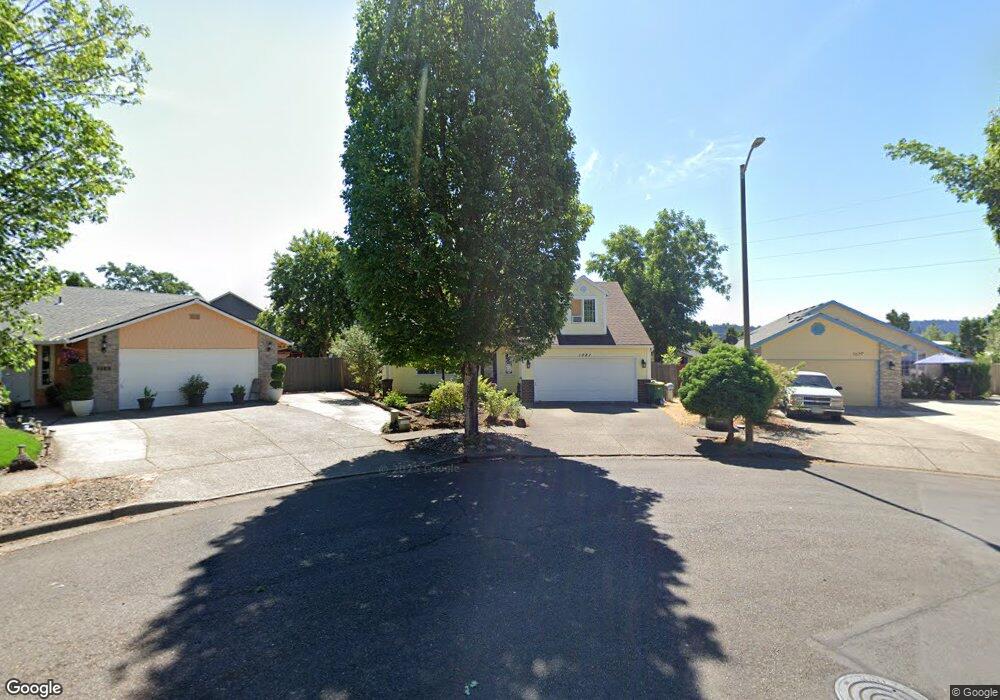
1081 Cedar St Forest Grove, OR 97116
Estimated Value: $475,000 - $560,000
5
Beds
3
Baths
1,980
Sq Ft
$264/Sq Ft
Est. Value
About This Home
This home is located at 1081 Cedar St, Forest Grove, OR 97116 and is currently estimated at $522,342, approximately $263 per square foot. 1081 Cedar St is a home located in Washington County with nearby schools including Joseph Gale Elementary School, Tom McCall Upper Elementary School, and Neil Armstrong Middle School.
Ownership History
Date
Name
Owned For
Owner Type
Purchase Details
Closed on
Nov 13, 2008
Sold by
Hall Patrick A and Hall Christine Y
Bought by
Job Christopher A
Current Estimated Value
Home Financials for this Owner
Home Financials are based on the most recent Mortgage that was taken out on this home.
Original Mortgage
$224,000
Outstanding Balance
$144,497
Interest Rate
5.9%
Mortgage Type
Unknown
Estimated Equity
$377,845
Purchase Details
Closed on
Nov 6, 1995
Sold by
Hall Christine Y
Bought by
Hall Patrick A
Home Financials for this Owner
Home Financials are based on the most recent Mortgage that was taken out on this home.
Original Mortgage
$132,900
Interest Rate
7.62%
Purchase Details
Closed on
Nov 3, 1995
Sold by
Amt Resources Ltd
Bought by
Hall Christine Y
Home Financials for this Owner
Home Financials are based on the most recent Mortgage that was taken out on this home.
Original Mortgage
$132,900
Interest Rate
7.62%
Create a Home Valuation Report for This Property
The Home Valuation Report is an in-depth analysis detailing your home's value as well as a comparison with similar homes in the area
Purchase History
| Date | Buyer | Sale Price | Title Company |
|---|---|---|---|
| Job Christopher A | $279,900 | Transnation Title Agency Or | |
| Hall Patrick A | -- | First American Title Ins Co | |
| Hall Christine Y | $139,900 | First American Title Ins Co |
Source: Public Records
Mortgage History
| Date | Status | Borrower | Loan Amount |
|---|---|---|---|
| Open | Job Christopher A | $224,000 | |
| Previous Owner | Hall Christine Y | $132,900 |
Source: Public Records
Tax History
| Year | Tax Paid | Tax Assessment Tax Assessment Total Assessment is a certain percentage of the fair market value that is determined by local assessors to be the total taxable value of land and additions on the property. | Land | Improvement |
|---|---|---|---|---|
| 2026 | $5,154 | $289,430 | -- | -- |
| 2025 | $5,154 | $281,000 | -- | -- |
| 2024 | $4,972 | $272,820 | -- | -- |
| 2023 | $4,972 | $264,880 | $0 | $0 |
| 2022 | $4,348 | $264,880 | $0 | $0 |
| 2021 | $4,291 | $249,680 | $0 | $0 |
| 2020 | $4,268 | $242,410 | $0 | $0 |
| 2019 | $4,173 | $235,350 | $0 | $0 |
| 2018 | $4,045 | $228,500 | $0 | $0 |
| 2017 | $3,920 | $221,850 | $0 | $0 |
| 2016 | $3,810 | $215,390 | $0 | $0 |
| 2015 | $3,663 | $209,120 | $0 | $0 |
| 2014 | $3,646 | $203,030 | $0 | $0 |
Source: Public Records
Map
Nearby Homes
- 2417 15th Ave
- 2708 13th Ave
- 1520 Main St
- 1938 16th Ave
- 2743 15th Place
- 1813 Filbert St
- 2323 19th Ave
- 1821 Hawthorne St
- 1720 B St
- 3128 Brittany Dr
- 2820 19th Ave
- 2025 Elm St Unit 1-D
- 2902 19th Ave
- 1598 19th Ave
- 1593 19th Ave
- 0 C St Unit Lot 1
- 0 C St Unit 24232816
- 1540 19th Ave
- 2119 B St
- 2813 Maywood Dr
Your Personal Tour Guide
Ask me questions while you tour the home.