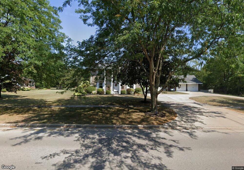
1081 E Boundary St Perrysburg, OH 43551
Estimated Value: $272,000 - $329,000
4
Beds
3
Baths
1,890
Sq Ft
$153/Sq Ft
Est. Value
About This Home
This home is located at 1081 E Boundary St, Perrysburg, OH 43551 and is currently estimated at $289,696, approximately $153 per square foot. 1081 E Boundary St is a home located in Wood County with nearby schools including Woodland Elementary School, Perrysburg Junior High School, and Perrysburg High School.
Ownership History
Date
Name
Owned For
Owner Type
Purchase Details
Closed on
Nov 26, 2004
Sold by
Havlik Paul J and Bihn Cheryl A
Bought by
Hurley Joshua and Vandall Hurley Rachael
Current Estimated Value
Purchase Details
Closed on
Aug 25, 1995
Sold by
Vandyne Philip H
Bought by
Bihn Gerald T
Home Financials for this Owner
Home Financials are based on the most recent Mortgage that was taken out on this home.
Original Mortgage
$120,800
Interest Rate
7.43%
Mortgage Type
New Conventional
Purchase Details
Closed on
May 12, 1976
Bought by
Vandyne Phillip H
Create a Home Valuation Report for This Property
The Home Valuation Report is an in-depth analysis detailing your home's value as well as a comparison with similar homes in the area
Home Values in the Area
Average Home Value in this Area
Purchase History
| Date | Buyer | Sale Price | Title Company |
|---|---|---|---|
| Hurley Joshua | $208,000 | -- | |
| Bihn Gerald T | $151,000 | -- | |
| Vandyne Phillip H | $61,800 | -- |
Source: Public Records
Mortgage History
| Date | Status | Borrower | Loan Amount |
|---|---|---|---|
| Previous Owner | Bihn Gerald T | $120,800 |
Source: Public Records
Tax History
| Year | Tax Paid | Tax Assessment Tax Assessment Total Assessment is a certain percentage of the fair market value that is determined by local assessors to be the total taxable value of land and additions on the property. | Land | Improvement |
|---|---|---|---|---|
| 2025 | $4,087 | $73,465 | $15,715 | $57,750 |
| 2024 | $4,267 | $73,465 | $15,715 | $57,750 |
| 2023 | $4,267 | $73,470 | $15,720 | $57,750 |
| 2021 | $3,871 | $61,320 | $9,660 | $51,660 |
| 2020 | $3,849 | $61,320 | $9,660 | $51,660 |
| 2019 | $3,344 | $51,660 | $9,660 | $42,000 |
| 2018 | $2,970 | $51,660 | $9,660 | $42,000 |
| 2017 | $2,890 | $51,660 | $9,660 | $42,000 |
| 2016 | $2,925 | $49,070 | $9,660 | $39,410 |
| 2015 | $2,925 | $49,070 | $9,660 | $39,410 |
| 2014 | $2,951 | $49,070 | $9,660 | $39,410 |
| 2013 | $3,018 | $49,070 | $9,660 | $39,410 |
Source: Public Records
Map
Nearby Homes
- 601 Tilayne St
- 11 Meadowbrook Dr
- 525 Orchard St
- 911 Shearwood Dr
- 28 Boston Bay Rd
- 23 Meadowpond Dr Unit C
- 9 Meadowpond Dr
- 7 Meadowpond Dr
- 920 Bexley Dr
- 1 Parkview Dr Unit 1
- 1085 Birch Dr
- 5 Olde Orchard Dr Unit 18
- 111 Civic Dr
- 1010 Walnut St
- 1002 Walnut St
- 1011 Cherry St
- 872 Cherry St
- 505 Boody Ct
- 11037 Bay Trace Dr
- 11023 Bay Trace Dr
- 1071 E Boundary St
- 1063 E Boundary St
- 1080 E Boundary St
- 1084 E Boundary St
- 568 Willow Ln
- 602 Tilayne Dr
- 565 E South Boundary St
- 579 Willow Ln
- 562 Willow Ln
- 557 E South Boundary St
- 1050 E Boundary St
- 11201 Sandusky St
- 11309 Sandusky St
- 1048 E Boundary St
- 571 Willow Ln
- 558 Willow Ln
- 11301 Sandusky St
- 551 E South Boundary St
- 1042 E Boundary St
- 559 Willow Ln