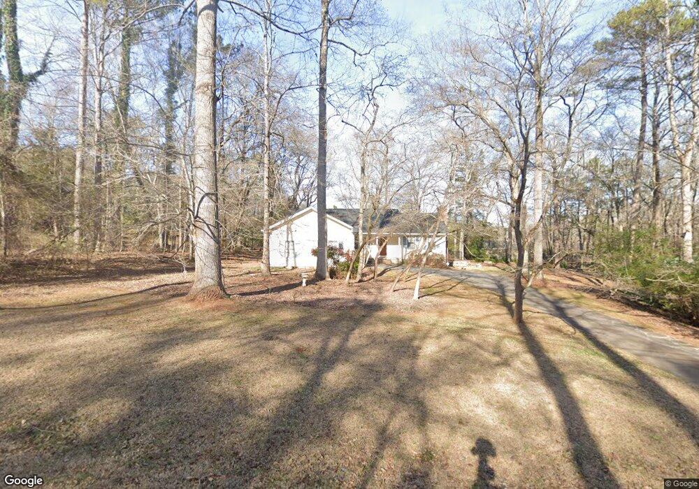
1081 Friar Rd Watkinsville, GA 30677
Estimated Value: $383,811 - $416,000
--
Bed
--
Bath
1,680
Sq Ft
$239/Sq Ft
Est. Value
About This Home
This home is located at 1081 Friar Rd, Watkinsville, GA 30677 and is currently estimated at $400,703, approximately $238 per square foot. 1081 Friar Rd is a home located in Oconee County with nearby schools including Oconee County Elementary School, Oconee County Primary School, and Oconee County Middle School.
Ownership History
Date
Name
Owned For
Owner Type
Purchase Details
Closed on
Oct 24, 2007
Sold by
Not Provided
Bought by
Chandler Melanie N and Arlt Melanie N
Current Estimated Value
Home Financials for this Owner
Home Financials are based on the most recent Mortgage that was taken out on this home.
Original Mortgage
$130,000
Outstanding Balance
$22,404
Interest Rate
6.37%
Mortgage Type
New Conventional
Estimated Equity
$378,299
Create a Home Valuation Report for This Property
The Home Valuation Report is an in-depth analysis detailing your home's value as well as a comparison with similar homes in the area
Home Values in the Area
Average Home Value in this Area
Purchase History
| Date | Buyer | Sale Price | Title Company |
|---|---|---|---|
| Chandler Melanie N | -- | -- |
Source: Public Records
Mortgage History
| Date | Status | Borrower | Loan Amount |
|---|---|---|---|
| Open | Chandler Melanie N | $130,000 |
Source: Public Records
Tax History Compared to Growth
Tax History
| Year | Tax Paid | Tax Assessment Tax Assessment Total Assessment is a certain percentage of the fair market value that is determined by local assessors to be the total taxable value of land and additions on the property. | Land | Improvement |
|---|---|---|---|---|
| 2024 | $2,225 | $122,297 | $30,000 | $92,297 |
| 2023 | $2,248 | $111,475 | $26,000 | $85,475 |
| 2022 | $1,945 | $92,674 | $22,000 | $70,674 |
| 2021 | $1,949 | $86,180 | $22,000 | $64,180 |
| 2020 | $1,871 | $82,710 | $22,000 | $60,710 |
| 2019 | $1,676 | $74,279 | $16,800 | $57,479 |
| 2018 | $1,546 | $67,290 | $16,800 | $50,490 |
| 2017 | $1,433 | $62,500 | $16,800 | $45,700 |
| 2016 | $1,413 | $61,656 | $16,800 | $44,856 |
| 2015 | $1,374 | $59,900 | $16,000 | $43,900 |
| 2014 | $1,364 | $58,144 | $16,000 | $42,144 |
| 2013 | -- | $58,246 | $18,000 | $40,246 |
Source: Public Records
Map
Nearby Homes
- 2041 Simonton Bridge Rd
- 2061 Simonton Bridge Rd
- 2190 Simonton Bridge Rd
- 2240 Simonton Bridge Rd
- 1030 Rossiter Ct
- 1040 Rossiter Ct
- 1010 Overton Way
- 1250 Calls Creek Cir
- 1061 Riverside Dr
- 1682 River Bank Ln
- 1763 Olympus Ct
- 1051 Simonton Way
- 1320 Katie Ln
- 1180 Allgood Rd
- 2051 Simonton Bridge Rd
- 1145 Watson Ln Unit E3
- 1311 Watson Ln Unit E8
- 1171 Watson Ln Unit E4
- 1195 Watson Ln Unit E5
- 1061 Friar Rd
- 0 Friar Dr Unit 7009103
- 0 Friar Dr Unit 8670449
- 1080 Rose Dr
- 1080 Friar Rd
- 1070 Rose Dr
- 1101 Friar Rd
- 0 Rose Dr
- 0 Miriam Place Unit 8177334
- 1011 Miriam Place
- 1090 Rose Dr
- 1040 Friar Rd
- 1040 Rose Dr
- 1051 Rose Dr
- 1091 Rose Dr
- 1221 Castle Dr
- 1031 Miriam Place
- 1031 Miriam Place Unit 13B
- 1231 Castle Dr
- 1041 Rose Dr