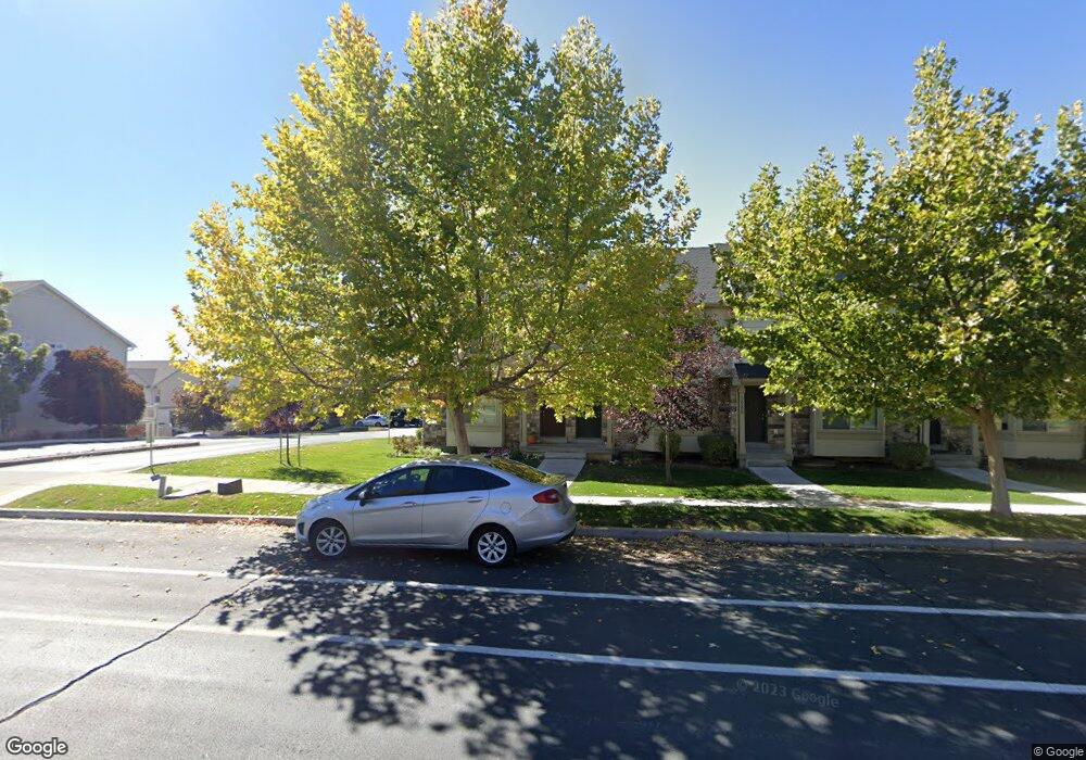
1081 Independence Ave Provo, UT 84604
Rivergrove NeighborhoodEstimated Value: $382,000 - $409,000
3
Beds
3
Baths
1,698
Sq Ft
$234/Sq Ft
Est. Value
About This Home
This home is located at 1081 Independence Ave, Provo, UT 84604 and is currently estimated at $397,357, approximately $234 per square foot. 1081 Independence Ave is a home located in Utah County with nearby schools including Westridge Elementary School, Dixon Middle School, and Provo High School.
Ownership History
Date
Name
Owned For
Owner Type
Purchase Details
Closed on
May 4, 2021
Sold by
Fereday Matthew and Fereday Megan
Bought by
Summit Management Lc
Current Estimated Value
Purchase Details
Closed on
Jan 30, 2014
Sold by
Georgetown Development Inc
Bought by
Fereday Matthew and Fereday Megan
Home Financials for this Owner
Home Financials are based on the most recent Mortgage that was taken out on this home.
Original Mortgage
$163,600
Interest Rate
4.45%
Mortgage Type
New Conventional
Create a Home Valuation Report for This Property
The Home Valuation Report is an in-depth analysis detailing your home's value as well as a comparison with similar homes in the area
Home Values in the Area
Average Home Value in this Area
Purchase History
| Date | Buyer | Sale Price | Title Company |
|---|---|---|---|
| Summit Management Lc | -- | Access Title Co | |
| Fereday Matthew | -- | United West Title |
Source: Public Records
Mortgage History
| Date | Status | Borrower | Loan Amount |
|---|---|---|---|
| Previous Owner | Fereday Matthew | $163,600 |
Source: Public Records
Tax History Compared to Growth
Tax History
| Year | Tax Paid | Tax Assessment Tax Assessment Total Assessment is a certain percentage of the fair market value that is determined by local assessors to be the total taxable value of land and additions on the property. | Land | Improvement |
|---|---|---|---|---|
| 2025 | $2,028 | $377,300 | $55,500 | $321,800 |
| 2024 | $2,028 | $199,595 | $0 | $0 |
| 2023 | $1,957 | $189,860 | $0 | $0 |
| 2022 | $2,111 | $206,580 | $0 | $0 |
| 2021 | $1,655 | $282,400 | $42,400 | $240,000 |
| 2020 | $1,613 | $258,000 | $33,600 | $224,400 |
| 2019 | $1,551 | $258,000 | $33,600 | $224,400 |
| 2018 | $1,393 | $235,000 | $29,000 | $206,000 |
| 2017 | $1,246 | $115,500 | $0 | $0 |
| 2016 | $1,336 | $115,500 | $0 | $0 |
| 2015 | $1,259 | $110,000 | $0 | $0 |
| 2014 | $1,208 | $110,000 | $0 | $0 |
Source: Public Records
Map
Nearby Homes
- 2075 W 1080 N
- 2043 W 1100 N
- 1127 Independence Ave
- 962 Independence Ave
- 932 N 1760 W
- 2397 W 1160 N
- 1503 N 1980 W
- 2216 W 480 N
- 1616 N 2100 W
- 1451 Arthur Dr
- 1471 W 1460 N
- 1454 Lancelot Dr Unit 6F
- 2132 W 450 N
- 871 N 2550 W
- 1662 N 2250 W
- 1682 N 2250 W
- 1375 W 1460 N
- 1679 N 2250 W
- 1383 N 1220 W
- 255 N 1600 W Unit 52
- 1083 Independence Ave
- 1085 Independence Ave
- 1087 Independence Ave
- 1089 Independence Ave
- 2046 W 1080 N
- 1077 Independence Ave
- 1077 Independence Ave Unit 57
- 2050 W 1080 N
- 1093 Independence Ave
- 1073 Independence Ave
- 1073 Independence Ave Unit 56
- 2054 W 1080 N
- 1069 Independence Ave Unit 55
- 1101 Independence Ave
- 2058 W 1080 N
- 1019 Independence Ave
- 1019 Independence Ave Unit 44
- 1065 Independence Ave
- 1065 Independence Ave Unit 54
- 2047 W 1080 N