1081 Red Bird Rd Loveland, OH 45140
Outer Loveland NeighborhoodEstimated Value: $3,055,024
6
Beds
6
Baths
1,312
Sq Ft
$2,329/Sq Ft
Est. Value
About This Home
This home is located at 1081 Red Bird Rd, Loveland, OH 45140 and is currently estimated at $3,055,024, approximately $2,328 per square foot. 1081 Red Bird Rd is a home located in Clermont County with nearby schools including Loveland Primary School, Loveland Elementary School, and Loveland Intermediate School.
Ownership History
Date
Name
Owned For
Owner Type
Purchase Details
Closed on
Feb 14, 2012
Sold by
Stille Steven C and Stille Charlotte C
Bought by
Stille Steven C and Stille Charlotte C
Current Estimated Value
Purchase Details
Closed on
Sep 12, 2007
Sold by
Stille Richard S and Stille Theresa A
Bought by
Stille Steven C and Stille Charlotte C
Purchase Details
Closed on
Jul 7, 2006
Sold by
Stille Steven C and Stille Charlotte C
Bought by
Stille Steven C and Stille Charlotte C
Purchase Details
Closed on
Feb 12, 2004
Sold by
Muench Gary L and Muench Teresa A
Bought by
Stille Steven C and Stille Charlotte C
Purchase Details
Closed on
Feb 1, 1987
Bought by
Stille Steven and Stille Charlotte
Create a Home Valuation Report for This Property
The Home Valuation Report is an in-depth analysis detailing your home's value as well as a comparison with similar homes in the area
Home Values in the Area
Average Home Value in this Area
Purchase History
| Date | Buyer | Sale Price | Title Company |
|---|---|---|---|
| Stille Steven C | -- | Attorney | |
| Riley Todd P | $1,225,000 | Attorney | |
| Stille Steven C | -- | None Available | |
| Stille Steven C | -- | None Available | |
| Stille Richard S | -- | None Available | |
| Stille Steven C | -- | -- | |
| Stille Steven | $200,000 | -- |
Source: Public Records
Tax History Compared to Growth
Tax History
| Year | Tax Paid | Tax Assessment Tax Assessment Total Assessment is a certain percentage of the fair market value that is determined by local assessors to be the total taxable value of land and additions on the property. | Land | Improvement |
|---|---|---|---|---|
| 2024 | $33,391 | $706,380 | $89,290 | $617,090 |
| 2023 | $34,008 | $706,380 | $89,290 | $617,090 |
| 2022 | $39,981 | $706,380 | $89,290 | $617,090 |
| 2021 | $40,050 | $706,380 | $89,290 | $617,090 |
| 2020 | $40,165 | $706,380 | $89,290 | $617,090 |
| 2019 | $33,630 | $565,610 | $87,470 | $478,140 |
| 2018 | $33,819 | $565,610 | $87,470 | $478,140 |
| 2017 | $33,420 | $565,610 | $87,470 | $478,140 |
| 2016 | $33,701 | $510,730 | $76,060 | $434,670 |
| 2015 | $4,845 | $270,000 | $76,060 | $193,940 |
| 2014 | $4,845 | $94,710 | $59,640 | $35,070 |
| 2013 | $3,817 | $89,220 | $50,790 | $38,430 |
Source: Public Records
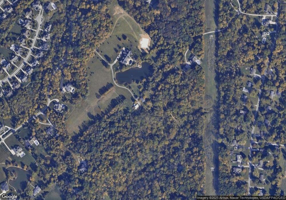
Map
Nearby Homes
- 6805 N Clarawill Dr
- 1277 Sand Trap Ct
- 1383 Stone Pillars Ct Unit Lot10
- Vaquero Plan at Stone Pillars
- Lexington Plan at Stone Pillars
- 6881 Paxton Rd
- 6647 Saddleback Way
- 6650 Saddleback Way
- 6651 Saddleback Way Unit Lot13
- 6651 Saddleback Way
- 962 Paul Vista Dr
- 6853 Obannon Bluff
- 955 Paul Vista Dr
- 6646 Gentlewind Ct
- 1209 Red Roan Dr
- 945 Paul Vista Dr
- 6557 Oasis Dr
- 6661 Gentlewind Ct
- 6379 Derbyshire Ln
- 1487 Sawgrass Ridge Dr
- 0 Red Bird Rd Unit 1202327
- 0 Red Bird Rd Unit 1285127
- 0 Red Bird Rd Unit 1296867
- 0 Red Bird Rd Unit 1318920
- 0 Red Bird Rd Unit 1368634
- 0 Red Bird Rd Unit 1785896
- 0 Red Bird Rd Unit 896679
- 1230 Hearthside Dr
- 1231 Serenity Springs
- 1073 Red Bird Rd
- 1101 Red Bird Rd
- 0 Redbird Rd
- 1105 Red Bird Rd
- 1229 Hearthside Dr
- 6716 Sandy Shores Dr
- 6714 Sandy Shores Dr
- 6720 Sandy Shores Dr Unit 82
- 6712 Sandy Shores Dr
- 6718 Sandy Shores Dr
- 1071 Red Bird Rd