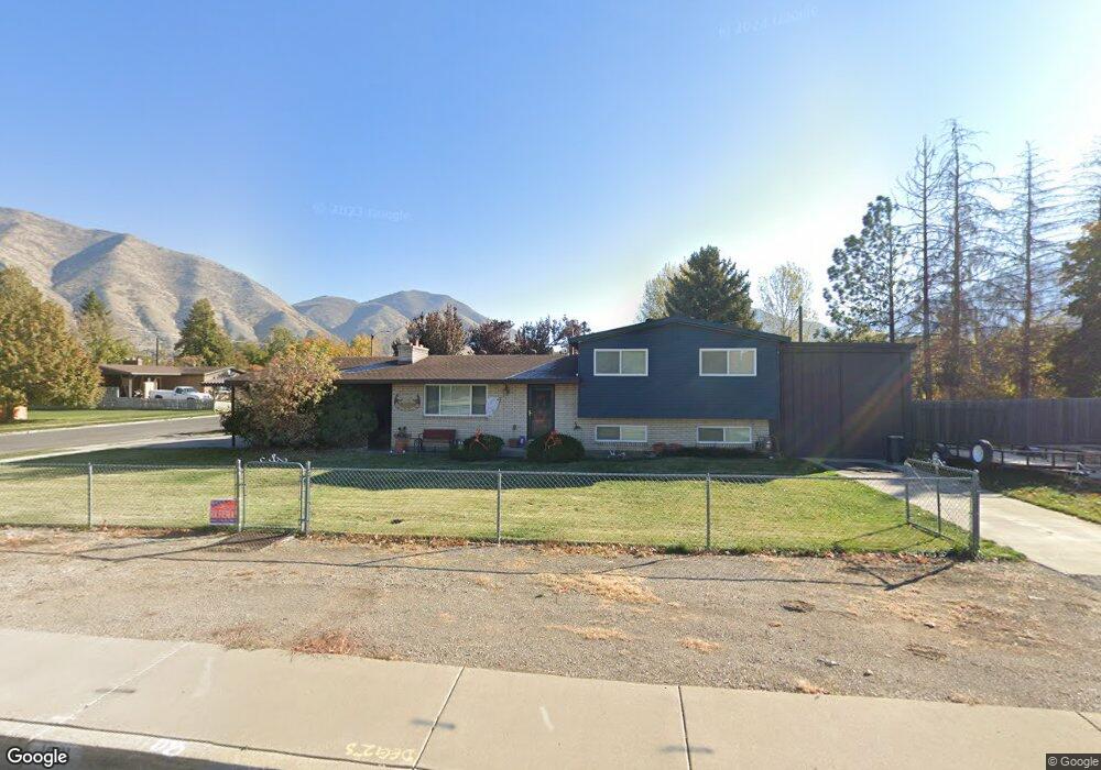
1081 S 700 E Springville, UT 84663
Evergreen NeighborhoodEstimated Value: $397,000 - $471,000
3
Beds
2
Baths
1,259
Sq Ft
$343/Sq Ft
Est. Value
About This Home
This home is located at 1081 S 700 E, Springville, UT 84663 and is currently estimated at $431,951, approximately $343 per square foot. 1081 S 700 E is a home located in Utah County with nearby schools including Sage Creek Elementary, Springville High School, and Springville Junior High School.
Ownership History
Date
Name
Owned For
Owner Type
Purchase Details
Closed on
Sep 8, 2015
Sold by
Richins Daniel and Richins Tiffani
Bought by
Richins Daniel R and Richins Tiffani
Current Estimated Value
Home Financials for this Owner
Home Financials are based on the most recent Mortgage that was taken out on this home.
Original Mortgage
$172,000
Outstanding Balance
$134,910
Interest Rate
3.87%
Mortgage Type
FHA
Estimated Equity
$297,041
Purchase Details
Closed on
Aug 29, 2014
Sold by
Vallentine John F
Bought by
Richins Daniel and Richins Tiffani
Home Financials for this Owner
Home Financials are based on the most recent Mortgage that was taken out on this home.
Original Mortgage
$128,000
Interest Rate
4.09%
Mortgage Type
Purchase Money Mortgage
Create a Home Valuation Report for This Property
The Home Valuation Report is an in-depth analysis detailing your home's value as well as a comparison with similar homes in the area
Home Values in the Area
Average Home Value in this Area
Purchase History
| Date | Buyer | Sale Price | Title Company |
|---|---|---|---|
| Richins Daniel R | -- | Pro-Title And Escrow | |
| Richins Daniel | -- | Pro Title & Escrow Inc |
Source: Public Records
Mortgage History
| Date | Status | Borrower | Loan Amount |
|---|---|---|---|
| Open | Richins Daniel R | $172,000 | |
| Closed | Richins Daniel | $128,000 |
Source: Public Records
Tax History
| Year | Tax Paid | Tax Assessment Tax Assessment Total Assessment is a certain percentage of the fair market value that is determined by local assessors to be the total taxable value of land and additions on the property. | Land | Improvement |
|---|---|---|---|---|
| 2025 | $1,815 | $203,610 | -- | -- |
| 2024 | $1,815 | $185,955 | $0 | $0 |
| 2023 | $1,781 | $182,600 | $0 | $0 |
| 2022 | $1,923 | $193,710 | $0 | $0 |
| 2021 | $1,681 | $263,600 | $95,500 | $168,100 |
| 2020 | $1,600 | $243,100 | $79,600 | $163,500 |
| 2019 | $1,453 | $224,800 | $79,600 | $145,200 |
| 2018 | $1,346 | $198,700 | $72,400 | $126,300 |
| 2017 | $1,207 | $94,600 | $0 | $0 |
| 2016 | $1,188 | $91,300 | $0 | $0 |
| 2015 | -- | $81,840 | $0 | $0 |
| 2014 | $986 | $77,000 | $0 | $0 |
Source: Public Records
Map
Nearby Homes
- 677 E 800 South St
- 1518 S 600 E
- 579 E 800 St S
- 629 E 800 St S
- 949 S 1060 E
- 1121 W 1800 N
- 883 E 700 S
- 942 Sage Creek Cir
- 1010 S 400 E Unit 21
- 1010 S 400 E Unit 39
- 645 Swenson Ave Unit 5
- 645 Swenson Ave Unit 3
- 1195 W 1600 N
- 1206 E 1150 S
- 445 E 535 S
- 337 E 600 S
- 1410 W 1200 N
- 1225 N 1380 W
- 1632 S Main St
- 50 E 750 S Unit 25
Your Personal Tour Guide
Ask me questions while you tour the home.