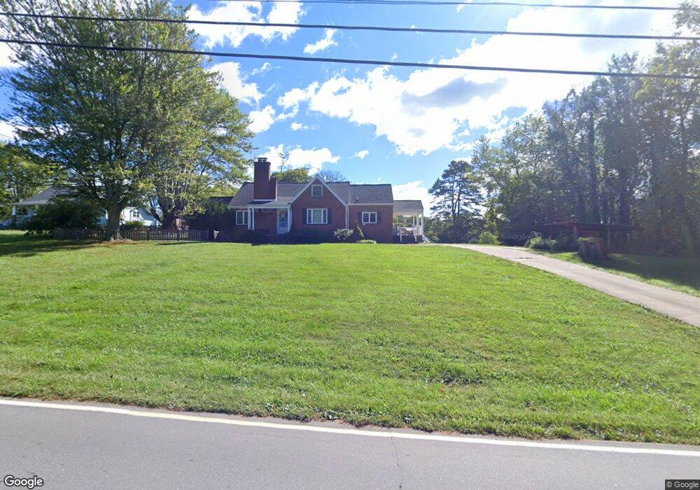
1081 S Main St Mars Hill, NC 28754
Estimated Value: $439,649 - $545,000
Studio
--
Bath
2,130
Sq Ft
$231/Sq Ft
Est. Value
About This Home
This home is located at 1081 S Main St, Mars Hill, NC 28754 and is currently estimated at $491,162, approximately $230 per square foot. 1081 S Main St is a home with nearby schools including Madison Middle School.
Ownership History
Date
Name
Owned For
Owner Type
Purchase Details
Closed on
Mar 13, 2008
Sold by
Wyatt Austin and Wyatt Bethany
Bought by
Wyatt Austin and Wyatt Bethany
Current Estimated Value
Home Financials for this Owner
Home Financials are based on the most recent Mortgage that was taken out on this home.
Original Mortgage
$170,672
Outstanding Balance
$105,983
Interest Rate
5.68%
Mortgage Type
FHA
Estimated Equity
$385,179
Purchase Details
Closed on
Jul 25, 2003
Bought by
Wyatt Austin and Wyatt Bethany
Create a Home Valuation Report for This Property
The Home Valuation Report is an in-depth analysis detailing your home's value as well as a comparison with similar homes in the area
Home Values in the Area
Average Home Value in this Area
Purchase History
| Date | Buyer | Sale Price | Title Company |
|---|---|---|---|
| Wyatt Austin | -- | None Available | |
| Wyatt Austin | $136,000 | -- |
Source: Public Records
Mortgage History
| Date | Status | Borrower | Loan Amount |
|---|---|---|---|
| Open | Wyatt Austin | $170,672 |
Source: Public Records
Tax History
| Year | Tax Paid | Tax Assessment Tax Assessment Total Assessment is a certain percentage of the fair market value that is determined by local assessors to be the total taxable value of land and additions on the property. | Land | Improvement |
|---|---|---|---|---|
| 2024 | $1,535 | $376,371 | $22,121 | $354,250 |
| 2023 | $1,192 | $202,480 | $20,110 | $182,370 |
| 2022 | $1,192 | $202,480 | $20,110 | $182,370 |
| 2021 | $1,192 | $202,480 | $20,110 | $182,370 |
| 2020 | $1,192 | $202,480 | $20,110 | $182,370 |
| 2019 | $884 | $131,693 | $16,218 | $115,475 |
| 2018 | $685 | $0 | $0 | $0 |
| 2017 | $1,304 | $0 | $0 | $0 |
| 2016 | $1,304 | $0 | $0 | $0 |
| 2015 | -- | $0 | $0 | $0 |
| 2014 | -- | $131,693 | $16,218 | $115,475 |
| 2013 | -- | $131,693 | $16,218 | $115,475 |
Source: Public Records
Map
Nearby Homes
- TBD S Main St
- 21 Duck Dr Unit 2
- 200 Duck Dr
- 1475 Crossroads Pkwy
- 230 S Main St
- 56 Big Branch Dr
- Lot 15 Mountain Gait Dr
- 181 Flint Morgan Rd
- 244 Country Dr
- 224 Country Dr
- 96 Chestnut Ln Unit 96
- 92 Suncrest Dr
- 56 White Oak Place
- 474 N Main St
- 2896 Old Mars Hill Hwy
- 1387 Woods Ammons Rd
- 9999 Gabriel's Creek Rd Unit 40
- ### Gabriel's Creek Rd
- 9999 Gabriel's Creek Rd Unit 42
- 9999 Gabriel's Creek Rd Unit 41
- 000 E View Dr
- 1061 S Main St
- 1117 S Main St
- 5 Valley View Circle Extension Unit 5
- 1037 S Main St
- 1141 S Main St
- 1026 S Main St
- 42 E View Dr
- 26 Woods Ammons Rd
- 000000 Lot 18 Woods of Ammons Unit 18
- 1082 S Main St
- 46 Woods Ammons Rd
- 46 Woods Ammons Rd
- 85 E View Dr
- 88 E View Dr
- 998 S Main St
- 995 S Main St
- 53 Ballard Dr
- 62 Woods Ammons Rd
- 987 S Main St
Your Personal Tour Guide
Ask me questions while you tour the home.