Estimated Value: $774,000 - $1,012,467
6
Beds
3
Baths
3,024
Sq Ft
$303/Sq Ft
Est. Value
About This Home
This home is located at 10812 State Highway 78, Melba, ID 83641 and is currently estimated at $915,867, approximately $302 per square foot. 10812 State Highway 78 is a home located in Owyhee County with nearby schools including Marsing Elementary School, Marsing Middle School, and Marsing High School.
Ownership History
Date
Name
Owned For
Owner Type
Purchase Details
Closed on
Aug 12, 2021
Sold by
Robertson Roni N
Bought by
Robertson Robert
Current Estimated Value
Home Financials for this Owner
Home Financials are based on the most recent Mortgage that was taken out on this home.
Original Mortgage
$372,200
Interest Rate
2.9%
Mortgage Type
New Conventional
Purchase Details
Closed on
Dec 4, 2015
Sold by
Robertson Charles D and Robertson Lynda M
Bought by
Robertson Charles Dean
Purchase Details
Closed on
Oct 4, 2015
Sold by
Robertson Charles D and Robertson Lynda M
Bought by
The Robertson Family Living Trust
Create a Home Valuation Report for This Property
The Home Valuation Report is an in-depth analysis detailing your home's value as well as a comparison with similar homes in the area
Home Values in the Area
Average Home Value in this Area
Purchase History
| Date | Buyer | Sale Price | Title Company |
|---|---|---|---|
| Robertson Robert | -- | Accommodation | |
| Robertson Charles Dean | -- | None Available | |
| The Robertson Family Living Trust | -- | None Available |
Source: Public Records
Mortgage History
| Date | Status | Borrower | Loan Amount |
|---|---|---|---|
| Closed | Robertson Robert | $372,200 |
Source: Public Records
Tax History Compared to Growth
Tax History
| Year | Tax Paid | Tax Assessment Tax Assessment Total Assessment is a certain percentage of the fair market value that is determined by local assessors to be the total taxable value of land and additions on the property. | Land | Improvement |
|---|---|---|---|---|
| 2024 | -- | $794,907 | $107,607 | $687,300 |
| 2023 | $3,134 | $767,042 | $73,452 | $693,590 |
| 2022 | $3,891 | $771,172 | $73,452 | $697,720 |
| 2021 | $3,076 | $520,112 | $73,452 | $446,660 |
| 2020 | $2,474 | $416,963 | $62,751 | $354,212 |
| 2019 | $2,600 | $379,046 | $62,894 | $316,152 |
| 2018 | $2,570 | $348,548 | $53,312 | $295,236 |
| 2017 | $2,461 | $349,100 | $50,276 | $298,824 |
| 2016 | $2,148 | $306,492 | $50,592 | $255,900 |
| 2014 | $1,341 | $247,867 | $49,997 | $197,870 |
| 2011 | -- | $234,342 | $49,680 | $184,662 |
Source: Public Records
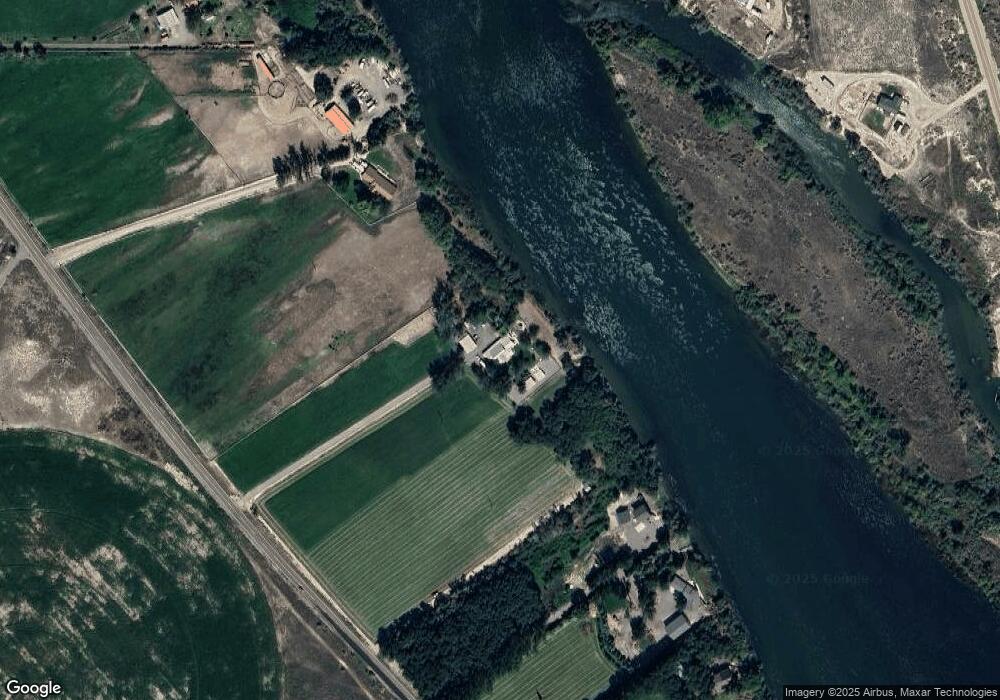
Map
Nearby Homes
- 10461 Idaho 78
- 7969 Sommer Camp Rd
- TBD Blue Fox Ln
- 0 Sage View Ln Parcel 4
- 0 Sage View Ln Parcel 2
- TBD Island View Dr - Lot 1
- TBD Island View Dr - Lot 2
- 8141 Idaho 78
- 0 Ed Ln
- 6279 Rim Rd
- 16754 Deer Flat Rd
- TBD Mountain Hawk Rd
- 9002 Deer Flat
- 000 Farner Rd
- 9067 Crystal Quartz Dr
- 9271 Crystal Quartz Dr
- 9266 Crystal Quartz Dr
- TBD Deer Flat Rd
- 12597 Deer Ridge Trail
- 12635 Deer Ridge Trail
- 10890 State Highway 78
- 10886 State Highway 78
- 11286 State Highway 45
- 11298 State Highway 45
- 11483 State Highway 78
- 11309 State Highway 78
- 10974 State Highway 78
- 10918 State Highway 78
- 10977 State Highway 78
- 10978 State Highway 78
- 10728 State Highway 78
- TBD State Hwy 78
- 11042 State Highway 78
- 3995 Map Rock Rd
- 16007 Map Rock Rd
- 10658 State Highway 78
- 10628 State Highway 78
- 10632 State Highway 78
- 10632 State Highway 78
- 10015 Wild Horse Rd