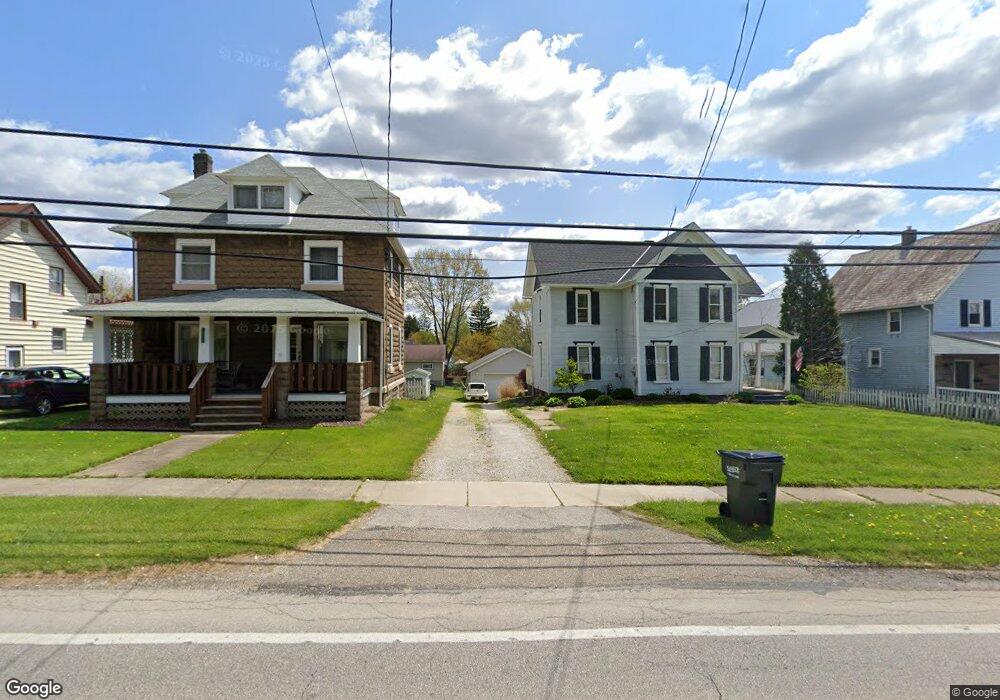
10812 State Route 44 Mantua, OH 44255
Estimated Value: $190,000 - $199,000
3
Beds
2
Baths
1,722
Sq Ft
$113/Sq Ft
Est. Value
About This Home
This home is located at 10812 State Route 44, Mantua, OH 44255 and is currently estimated at $194,433, approximately $112 per square foot. 10812 State Route 44 is a home located in Portage County with nearby schools including Crestwood Primary School, Crestwood Intermediate School, and Crestwood Middle School.
Ownership History
Date
Name
Owned For
Owner Type
Purchase Details
Closed on
Sep 5, 2025
Sold by
Chesla Monica M and Cavanaugh Gerald
Bought by
Santos Lizette Murillo
Current Estimated Value
Home Financials for this Owner
Home Financials are based on the most recent Mortgage that was taken out on this home.
Original Mortgage
$169,376
Outstanding Balance
$169,376
Interest Rate
6.72%
Mortgage Type
New Conventional
Estimated Equity
$25,057
Purchase Details
Closed on
Sep 11, 2014
Sold by
Chesla Andrew and Chesla Andrew M
Bought by
Chesla Monica and Chesla Monica M
Purchase Details
Closed on
Jun 22, 1999
Sold by
Cruise Blair A and Cruise Betty L
Bought by
Chesla Andrew M and Chesla Monica M
Home Financials for this Owner
Home Financials are based on the most recent Mortgage that was taken out on this home.
Original Mortgage
$80,950
Interest Rate
7.15%
Purchase Details
Closed on
Jan 1, 1990
Bought by
Cruise Blair A
Create a Home Valuation Report for This Property
The Home Valuation Report is an in-depth analysis detailing your home's value as well as a comparison with similar homes in the area
Home Values in the Area
Average Home Value in this Area
Purchase History
| Date | Buyer | Sale Price | Title Company |
|---|---|---|---|
| Santos Lizette Murillo | $193,500 | Ohio Real Title | |
| Chesla Monica | -- | None Available | |
| Chesla Andrew M | $83,500 | Approved Statewide Title Age | |
| Cruise Blair A | -- | -- |
Source: Public Records
Mortgage History
| Date | Status | Borrower | Loan Amount |
|---|---|---|---|
| Open | Santos Lizette Murillo | $169,376 | |
| Previous Owner | Chesla Andrew M | $80,950 |
Source: Public Records
Tax History Compared to Growth
Tax History
| Year | Tax Paid | Tax Assessment Tax Assessment Total Assessment is a certain percentage of the fair market value that is determined by local assessors to be the total taxable value of land and additions on the property. | Land | Improvement |
|---|---|---|---|---|
| 2024 | $2,026 | $49,390 | $9,170 | $40,220 |
| 2023 | $2,115 | $46,770 | $8,230 | $38,540 |
| 2022 | $2,138 | $46,770 | $8,230 | $38,540 |
| 2021 | $2,171 | $46,770 | $8,230 | $38,540 |
| 2020 | $1,912 | $38,580 | $8,230 | $30,350 |
| 2019 | $1,892 | $38,580 | $8,230 | $30,350 |
| 2018 | $1,850 | $36,650 | $11,590 | $25,060 |
| 2017 | $1,850 | $36,650 | $11,590 | $25,060 |
| 2016 | $1,845 | $36,650 | $11,590 | $25,060 |
| 2015 | $1,881 | $36,650 | $11,590 | $25,060 |
| 2014 | $1,840 | $36,650 | $11,590 | $25,060 |
| 2013 | $1,708 | $36,650 | $11,590 | $25,060 |
Source: Public Records
Map
Nearby Homes
- 0 Ambler Ln Unit 5142203
- 4364 Pioneer Trail
- 11131 State Route 44
- 4620 Pioneer Trail
- 0 Infirmary Rd
- 4791 Pioneer Trail
- 11470 Bowen Rd
- 10685 Limeridge Rd
- 12167 Mantua Center Rd
- 9091 State Route 44
- 9329 Infirmary Rd Unit B1
- 4705 State Route 303
- 4437 State Route 303
- 2785 Fairfax St
- 11166 Loris Ave
- 10389 Wentworth Rd
- 10306 Winthrop Rd
- 2653 Fairfax St
- 12298 Chamberlain Rd
- 3070 Polly Rd
- 10818 State Route 44
- 10822 State Route 44
- 4588 W High St
- 10735 Elm St
- 10731 Elm St
- 4596 W High St
- 10721 Elm St
- 4587 Franklin St
- 4600 W High St
- 4581 W High St
- 4562 W High St
- 4593 Franklin St
- 4595 W High St
- 4573 Franklin St
- 4599 Franklin St
- 4605 Franklin St
- 4556 W High St
- 4575 W High St
- 4603 W High St
- 4569 W High St