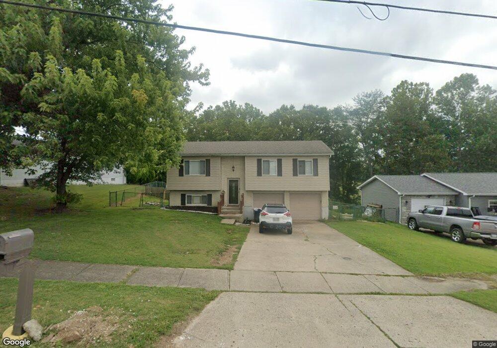
10815 West Rd Harrison, OH 45030
Estimated Value: $259,590 - $276,000
3
Beds
2
Baths
1,460
Sq Ft
$184/Sq Ft
Est. Value
About This Home
This home is located at 10815 West Rd, Harrison, OH 45030 and is currently estimated at $268,148, approximately $183 per square foot. 10815 West Rd is a home located in Hamilton County with nearby schools including William Henry Harrison High School, St. John The Baptist School, and Summit Academy of Southwest Ohio.
Ownership History
Date
Name
Owned For
Owner Type
Purchase Details
Closed on
Mar 3, 2017
Sold by
Grubbs Randell G and Grubbs Judith A
Bought by
Stone Road Property Llc
Current Estimated Value
Purchase Details
Closed on
May 20, 2009
Sold by
Potter Wendy A
Bought by
Pilot Wallace L and Koenig Shanna
Home Financials for this Owner
Home Financials are based on the most recent Mortgage that was taken out on this home.
Original Mortgage
$114,880
Interest Rate
4.85%
Mortgage Type
FHA
Create a Home Valuation Report for This Property
The Home Valuation Report is an in-depth analysis detailing your home's value as well as a comparison with similar homes in the area
Home Values in the Area
Average Home Value in this Area
Purchase History
We collect this data history from publicly available records. To have your information removed, we recommend requesting removal directly through your county’s website.
| Date | Buyer | Sale Price | Title Company |
|---|---|---|---|
| Stone Road Property Llc | -- | -- | |
| Pilot Wallace L | $117,000 | First Title Agency |
Source: Public Records
Mortgage History
We collect this data history from publicly available records. To have your information removed, we recommend requesting removal directly through your county’s website.
| Date | Status | Borrower | Loan Amount |
|---|---|---|---|
| Previous Owner | Pilot Wallace L | $114,880 |
Source: Public Records
Tax History
| Year | Tax Paid | Tax Assessment Tax Assessment Total Assessment is a certain percentage of the fair market value that is determined by local assessors to be the total taxable value of land and additions on the property. | Land | Improvement |
|---|---|---|---|---|
| 2025 | $2,867 | $64,141 | $12,866 | $51,275 |
| 2023 | $2,875 | $64,141 | $12,866 | $51,275 |
| 2022 | $2,402 | $46,928 | $11,284 | $35,644 |
| 2021 | $2,375 | $46,928 | $11,284 | $35,644 |
| 2020 | $2,403 | $46,928 | $11,284 | $35,644 |
| 2019 | $2,204 | $41,164 | $9,898 | $31,266 |
| 2018 | $2,217 | $41,164 | $9,898 | $31,266 |
| 2017 | $2,091 | $41,164 | $9,898 | $31,266 |
| 2016 | $1,883 | $40,131 | $8,974 | $31,157 |
| 2015 | $1,906 | $40,131 | $8,974 | $31,157 |
| 2014 | $1,816 | $40,131 | $8,974 | $31,157 |
| 2013 | $1,866 | $40,950 | $9,156 | $31,794 |
Source: Public Records
Map
Nearby Homes
- 10630 Campbell Rd
- 10626 West Rd
- 10803 Stone Ridge Way Unit 15
- 145 Timepiece Ln
- 444 Lyness Ave
- 595 Deerfield Dr
- 344 Legacy Way
- 10701 Campbell Rd
- 378 Legacy Way
- 10512 West Rd
- 158 Country View Dr
- 8305 Brooks Rd
- 6 Arrowhead Ct
- 107 Westfield Dr
- 346 S Elm St
- 155 Turner Ridge Dr
- 1713 Whitewater Dr
- 157 Turner Ridge Dr
- 163 Turner Ridge Dr
- 151 Circle Dr
- 10809 West Rd
- 10821 West Rd
- 10807 West Rd
- 10827 West Rd
- 1 Valleyview Ct
- 10805 West Rd
- 10820 West Rd
- 10816 West Rd
- 10831 West Rd
- 10826 West Rd
- 10810 West Rd
- 2 Valleyview Ct
- 10804 West Rd
- 7 Valleyview Ct
- 10834 West Rd
- 10839 West Rd
- 10800 West Rd
- 10737 Stone Ridge Way
- 10840 West Rd
- 10735 Stone Ridge Way
Your Personal Tour Guide
Ask me questions while you tour the home.