10816 W Arnalls Ln Republic, MO 65738
Estimated Value: $362,000 - $415,000
3
Beds
2
Baths
1,329
Sq Ft
$291/Sq Ft
Est. Value
About This Home
This home is located at 10816 W Arnalls Ln, Republic, MO 65738 and is currently estimated at $387,357, approximately $291 per square foot. 10816 W Arnalls Ln is a home located in Greene County with nearby schools including Schofield Elementary School, Republic Middle School, and Republic High School.
Ownership History
Date
Name
Owned For
Owner Type
Purchase Details
Closed on
Feb 7, 2022
Sold by
Leon Shaw Carl and Leon Mary F
Bought by
Richardson Patricia R and Richardson Randal
Current Estimated Value
Purchase Details
Closed on
Aug 13, 2019
Sold by
Blumenstock Ryan D and Blumenstock Rikki
Bought by
Shaw Carl Leon and Shaw Mary F
Home Financials for this Owner
Home Financials are based on the most recent Mortgage that was taken out on this home.
Original Mortgage
$152,000
Interest Rate
3.7%
Mortgage Type
Commercial
Purchase Details
Closed on
Nov 8, 2007
Sold by
Hetherington Clinton
Bought by
Blumenstock Ryan D
Home Financials for this Owner
Home Financials are based on the most recent Mortgage that was taken out on this home.
Original Mortgage
$148,000
Interest Rate
6.42%
Mortgage Type
New Conventional
Create a Home Valuation Report for This Property
The Home Valuation Report is an in-depth analysis detailing your home's value as well as a comparison with similar homes in the area
Home Values in the Area
Average Home Value in this Area
Purchase History
| Date | Buyer | Sale Price | Title Company |
|---|---|---|---|
| Richardson Patricia R | -- | None Listed On Document | |
| Shaw Carl Leon | -- | None Available | |
| Blumenstock Ryan D | -- | Lincoln Evans Land Title Com |
Source: Public Records
Mortgage History
| Date | Status | Borrower | Loan Amount |
|---|---|---|---|
| Previous Owner | Shaw Carl Leon | $152,000 | |
| Previous Owner | Blumenstock Ryan D | $148,000 |
Source: Public Records
Tax History Compared to Growth
Tax History
| Year | Tax Paid | Tax Assessment Tax Assessment Total Assessment is a certain percentage of the fair market value that is determined by local assessors to be the total taxable value of land and additions on the property. | Land | Improvement |
|---|---|---|---|---|
| 2025 | $1,968 | $41,440 | $7,790 | $33,650 |
| 2024 | $1,968 | $37,620 | $6,840 | $30,780 |
| 2023 | $1,927 | $37,620 | $6,840 | $30,780 |
| 2022 | $1,754 | $34,110 | $6,840 | $27,270 |
| 2021 | $1,754 | $34,110 | $6,840 | $27,270 |
| 2020 | $1,495 | $28,580 | $6,840 | $21,740 |
| 2019 | $1,488 | $28,580 | $6,840 | $21,740 |
| 2018 | $1,509 | $28,060 | $6,840 | $21,220 |
| 2017 | $1,497 | $28,010 | $6,840 | $21,170 |
| 2016 | $1,507 | $28,010 | $6,840 | $21,170 |
| 2015 | $1,506 | $28,010 | $6,840 | $21,170 |
| 2014 | $1,520 | $27,990 | $6,840 | $21,150 |
Source: Public Records
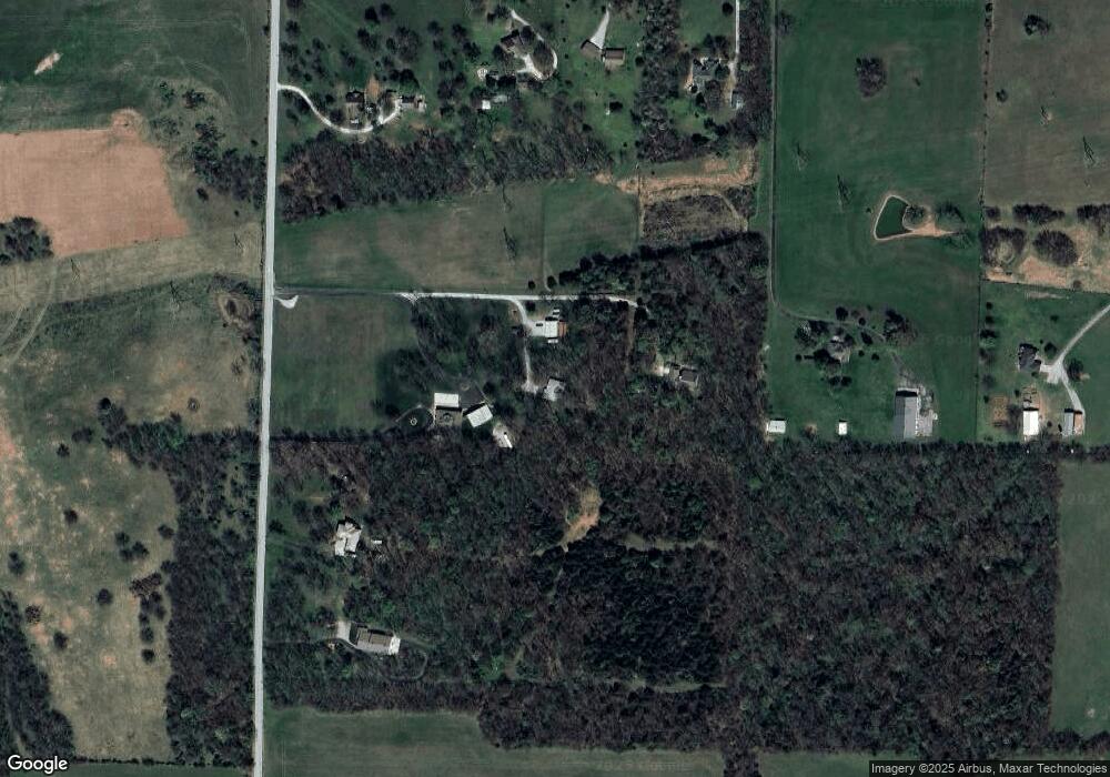
Map
Nearby Homes
- 11414 Benjamin
- Lot 23 The Woods
- 12163 W State Highway Tt
- 2652 S Farm Road 51
- 4702 S Farm Road 53
- 5024 S Farm Road 57
- 11955 W Farm Road 156
- 1367 N Harper Ridge Dr
- 141 E Kelce Ln
- Willow Plan at Harper Ridge
- Sycamore 3 Plan at Harper Ridge
- Sycamore 2 Plan at Harper Ridge
- Sycamore 4 Plan at Harper Ridge
- Aspen 3 Plan at Harper Ridge
- 188 E Kelce Ln
- 174 E Kelce Ln
- 205 E Kelce Ln
- 127 E Kelce Ln
- 162 E Kelce Ln
- 193 E Kelce Ln
- 10850 W Arnalls Ln
- 10802 W Arnalls Ln
- 3646 S Farm Road 61
- 10670 W State Highway Tt
- 3696 S Farm Road 61
- 10776 W State Highway Tt
- 10820 W State Highway Tt
- 3454 S Farm Road 61
- 10726 W State Highway Tt
- 3415 S Pond Willow Ln
- 10554 W State Highway Tt
- 3785 S Farm Road 61
- 11027 W State Highway Tt
- 3412 S Pond Willow Ln
- 10525 W State Highway Tt
- 11045 W State Highway Tt
- 0 W Farm Road 168 Tract 4 Unit 60140660
- 10679 W Farm Road 168
- 10855 W Farm Road 168
- 11176 W State Highway Tt