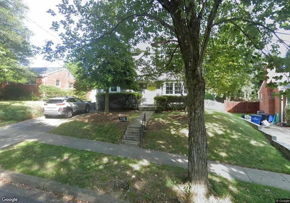
10817 Hobson St Kensington, MD 20895
North Kensington NeighborhoodEstimated Value: $654,035 - $746,000
4
Beds
2
Baths
972
Sq Ft
$728/Sq Ft
Est. Value
About This Home
This home is located at 10817 Hobson St, Kensington, MD 20895 and is currently estimated at $707,259, approximately $727 per square foot. 10817 Hobson St is a home located in Montgomery County with nearby schools including Mancelona Middle School, Rock View Elementary School, and Newport Mill Middle School.
Ownership History
Date
Name
Owned For
Owner Type
Purchase Details
Closed on
Oct 25, 2019
Sold by
Fried Amye L and Silverman Aaron M
Bought by
Fried Amye L
Current Estimated Value
Home Financials for this Owner
Home Financials are based on the most recent Mortgage that was taken out on this home.
Original Mortgage
$582,000
Outstanding Balance
$511,416
Interest Rate
3.65%
Estimated Equity
$195,843
Purchase Details
Closed on
May 19, 2005
Sold by
Jenkins Sheldon J and Jenkins K L
Bought by
Fried Amye L
Create a Home Valuation Report for This Property
The Home Valuation Report is an in-depth analysis detailing your home's value as well as a comparison with similar homes in the area
Home Values in the Area
Average Home Value in this Area
Purchase History
| Date | Buyer | Sale Price | Title Company |
|---|---|---|---|
| Fried Amye L | -- | Universal Title | |
| Fried Amye L | $380,000 | -- | |
| Fried Amye L | $380,000 | -- |
Source: Public Records
Mortgage History
| Date | Status | Borrower | Loan Amount |
|---|---|---|---|
| Open | Fried Amye L | $582,000 |
Source: Public Records
Tax History Compared to Growth
Tax History
| Year | Tax Paid | Tax Assessment Tax Assessment Total Assessment is a certain percentage of the fair market value that is determined by local assessors to be the total taxable value of land and additions on the property. | Land | Improvement |
|---|---|---|---|---|
| 2025 | $7,551 | $623,167 | -- | -- |
| 2024 | $7,551 | $592,400 | $256,900 | $335,500 |
| 2023 | $6,641 | $575,400 | $0 | $0 |
| 2022 | $6,123 | $558,400 | $0 | $0 |
| 2021 | $5,869 | $541,400 | $231,100 | $310,300 |
| 2020 | $5,478 | $509,100 | $0 | $0 |
| 2019 | $5,086 | $476,800 | $0 | $0 |
| 2018 | $4,708 | $444,500 | $231,100 | $213,400 |
| 2017 | $3,638 | $441,167 | $0 | $0 |
| 2016 | $3,201 | $335,733 | $0 | $0 |
| 2015 | $3,201 | $332,400 | $0 | $0 |
| 2014 | $3,201 | $328,967 | $0 | $0 |
Source: Public Records
Map
Nearby Homes
- 10802 Stella Ct
- 3333 University Blvd W Unit 1008
- 3355 University Blvd W Unit 206
- 2932 University Blvd W
- 3014 Jennings Rd
- 11921 Coronada Place
- 3117 Plyers Mill Rd
- 3421 University Blvd W Unit 3421-302
- 3511 Decatur Ave
- 3419 University Blvd W Unit 102
- 3600 Decatur Ave
- 11214 Midvale Rd
- 11006 Madison St
- 10502 Drumm Ave
- 11209 Midvale Rd
- 3013 Ferndale St
- 11218 Upton Dr
- 11321 College View Dr
- 11313 College View Dr
- 3603 Plyers Mill Rd
- 10815 Hobson St
- 3102 Decatur Ave
- 10819 Hobson St
- 10813 Hobson St
- 10812 Stella Ct
- 10810 Stella Ct
- 10814 Stella Ct
- 10814 Hobson St
- 10808 Stella Ct
- 10811 Hobson St
- 10812 Hobson St
- 10806 Stella Ct
- 10828 Mccomas Ct
- 3107 Decatur Ave
- 10809 Hobson St
- 10810 Hobson St
- 3103 Decatur Ave
- 10804 Stella Ct
- 10826 Mccomas Ct
- 10901 Hobson St