10817 N 1000 E Unit Parcel 1 & 3 from Au Cromwell, IN 46732
Estimated Value: $1,973,000 - $2,551,000
7
Beds
11
Baths
14,800
Sq Ft
$147/Sq Ft
Est. Value
About This Home
This home is located at 10817 N 1000 E Unit Parcel 1 & 3 from Au, Cromwell, IN 46732 and is currently estimated at $2,168,321, approximately $146 per square foot. 10817 N 1000 E Unit Parcel 1 & 3 from Au is a home located in Kosciusko County with nearby schools including Wawasee High School.
Ownership History
Date
Name
Owned For
Owner Type
Purchase Details
Closed on
Oct 20, 2020
Sold by
K Development Inc
Bought by
Shepard Anthony and Shepard Kari
Current Estimated Value
Purchase Details
Closed on
Jul 26, 2019
Sold by
Moore Guy J
Bought by
K Development Inc
Purchase Details
Closed on
Mar 11, 2011
Sold by
Guy Moore Real Estate Holdings Llc
Bought by
Moore Guy J
Home Financials for this Owner
Home Financials are based on the most recent Mortgage that was taken out on this home.
Original Mortgage
$417,000
Interest Rate
4.88%
Mortgage Type
New Conventional
Create a Home Valuation Report for This Property
The Home Valuation Report is an in-depth analysis detailing your home's value as well as a comparison with similar homes in the area
Home Values in the Area
Average Home Value in this Area
Purchase History
| Date | Buyer | Sale Price | Title Company |
|---|---|---|---|
| Shepard Anthony | $1,670,000 | North American Title Co | |
| K Development Inc | $1,500,000 | None Available | |
| Moore Guy J | -- | Metropolitan Title |
Source: Public Records
Mortgage History
| Date | Status | Borrower | Loan Amount |
|---|---|---|---|
| Previous Owner | Moore Guy J | $417,000 |
Source: Public Records
Tax History Compared to Growth
Tax History
| Year | Tax Paid | Tax Assessment Tax Assessment Total Assessment is a certain percentage of the fair market value that is determined by local assessors to be the total taxable value of land and additions on the property. | Land | Improvement |
|---|---|---|---|---|
| 2024 | $12,391 | $2,041,300 | $92,100 | $1,949,200 |
| 2023 | $12,039 | $1,897,700 | $83,500 | $1,814,200 |
| 2022 | $12,505 | $1,818,900 | $74,500 | $1,744,400 |
| 2021 | $9,395 | $1,395,300 | $69,700 | $1,325,600 |
| 2020 | $7,695 | $1,262,400 | $52,100 | $1,210,300 |
| 2019 | $11,802 | $1,239,700 | $59,100 | $1,180,600 |
| 2018 | $11,103 | $1,221,800 | $60,300 | $1,161,500 |
| 2017 | $10,567 | $1,138,200 | $65,800 | $1,072,400 |
| 2016 | $9,032 | $1,116,000 | $67,500 | $1,048,500 |
| 2014 | $9,790 | $1,093,200 | $69,700 | $1,023,500 |
| 2013 | $9,790 | $1,061,900 | $62,500 | $999,400 |
Source: Public Records
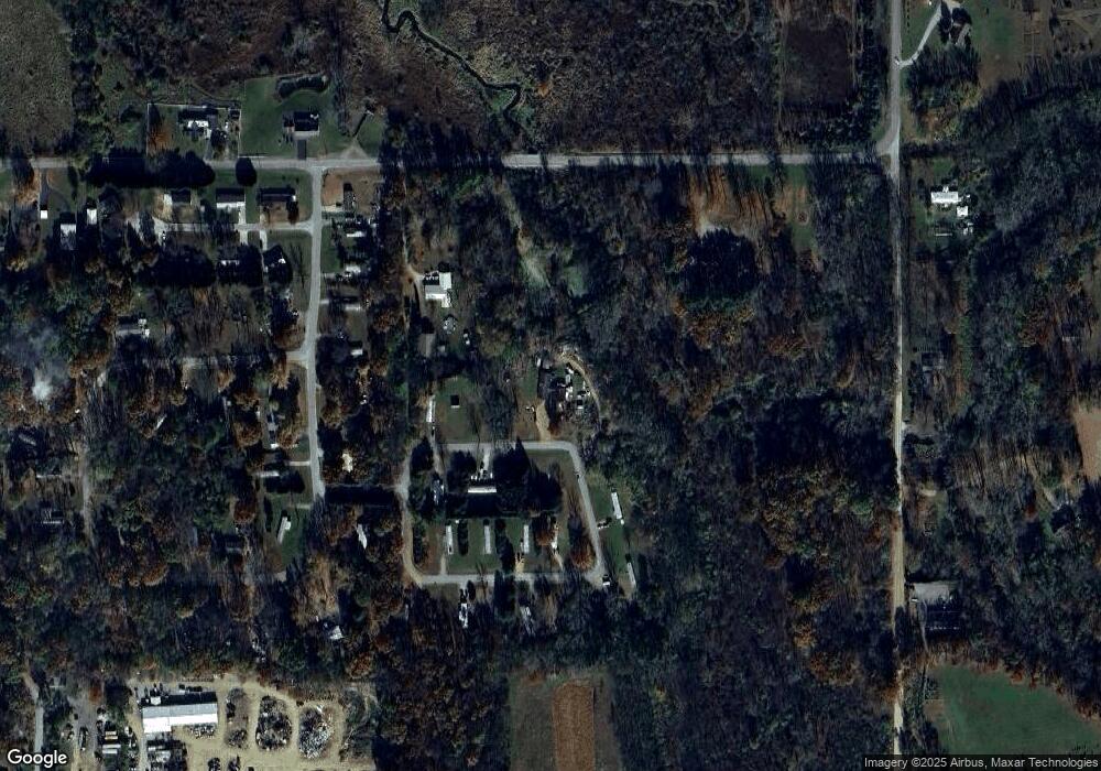
Map
Nearby Homes
- 9565 E Wawasee Ln
- 11227 N East Wawasee Dr
- 11425 N Cedar Point High Rd
- 11900 N Rumpelstiltzkin Dr
- 9061 E Hatchery Rd
- 11994 N Morris Rd
- 8917 E Circle Dr S
- 9207 N Koher Rd E
- 9246 E Koher Rd S
- 8629 E Hatchery Rd
- 8652 E Koher Rd S
- 10492 N Elwood Ave
- 9723 N Marine Key Dr
- 10454 N 800 E
- 9867 N Happiness Dr
- 239 N Jefferson St
- 8217 E Constitution Dr
- 10660 N Southshore Dr Unit D1
- 10660 N Southshore Dr Unit D3
- 10712 N Southshore Dr
- 10817 N 1000 E
- 2630 N 1200 W
- 10862 N Turkey Creek Rd
- 9758 E 1100 N
- 9728 E 1050 N
- 9820 E 1100 N
- 9903 E 1050 N
- 9969 E 1050 N
- 10716 N Turkey Creek Rd
- 0 Humpty Dumpty Lot 31 & 31b Unit Lot 31 & 31B 512141
- 0 Humpty Dumpty Lot 31 & 31b Unit Lot 31 & 31B
- 0 Humpty Dumpty Lot 31 & 31b Unit Lot 31 & 31B 512144
- 9731 E 1050 N
- 10612 N Turkey Creek Rd
- 10652 N Turkey Creek Rd
- 10389 N 1000 E
- 10574 N Turkey Creek Rd
- 11243 N 1000 E
- 11672 W 300 N
- 10327 N 1000 E