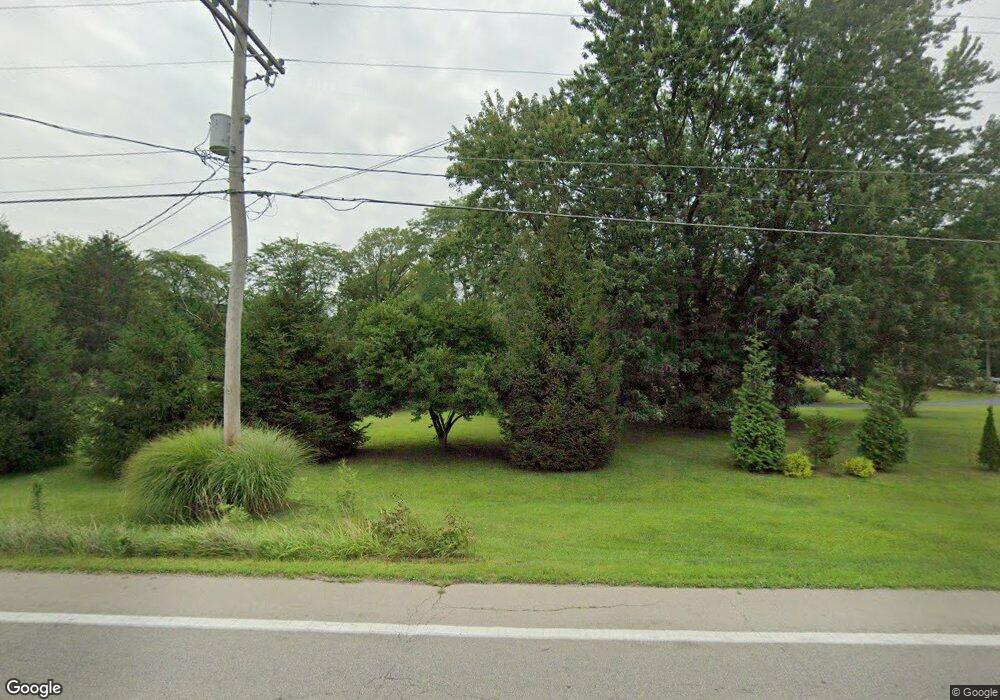
10818 Johnstown Rd New Albany, OH 43054
Estimated Value: $403,000 - $503,000
3
Beds
2
Baths
1,378
Sq Ft
$322/Sq Ft
Est. Value
About This Home
This home is located at 10818 Johnstown Rd, New Albany, OH 43054 and is currently estimated at $443,189, approximately $321 per square foot. 10818 Johnstown Rd is a home located in Franklin County with nearby schools including New Albany Primary School, New Albany Intermediate School, and New Albany Middle School.
Ownership History
Date
Name
Owned For
Owner Type
Purchase Details
Closed on
Jun 7, 2005
Sold by
Hursey William and Hursey Mary F
Bought by
Mowery Robert D and Adams Joanne B
Current Estimated Value
Home Financials for this Owner
Home Financials are based on the most recent Mortgage that was taken out on this home.
Original Mortgage
$65,000
Interest Rate
5.87%
Mortgage Type
Fannie Mae Freddie Mac
Purchase Details
Closed on
Jan 4, 2000
Sold by
Hursey Helen M
Bought by
Hursey Helen M
Purchase Details
Closed on
Jun 10, 1996
Sold by
Mann Jessie A
Bought by
Helen M Hursey
Home Financials for this Owner
Home Financials are based on the most recent Mortgage that was taken out on this home.
Original Mortgage
$126,400
Interest Rate
7.25%
Mortgage Type
New Conventional
Purchase Details
Closed on
Apr 6, 1990
Create a Home Valuation Report for This Property
The Home Valuation Report is an in-depth analysis detailing your home's value as well as a comparison with similar homes in the area
Home Values in the Area
Average Home Value in this Area
Purchase History
| Date | Buyer | Sale Price | Title Company |
|---|---|---|---|
| Mowery Robert D | $162,000 | Ohio Title | |
| Hursey Helen M | -- | -- | |
| Helen M Hursey | $125,000 | -- | |
| -- | -- | -- |
Source: Public Records
Mortgage History
| Date | Status | Borrower | Loan Amount |
|---|---|---|---|
| Closed | Mowery Robert D | $65,000 | |
| Previous Owner | Helen M Hursey | $126,400 | |
| Closed | Mowery Robert D | $80,800 |
Source: Public Records
Tax History Compared to Growth
Tax History
| Year | Tax Paid | Tax Assessment Tax Assessment Total Assessment is a certain percentage of the fair market value that is determined by local assessors to be the total taxable value of land and additions on the property. | Land | Improvement |
|---|---|---|---|---|
| 2024 | $7,985 | $128,040 | $65,700 | $62,340 |
| 2023 | $7,369 | $128,040 | $65,700 | $62,340 |
| 2022 | $5,023 | $67,280 | $30,210 | $37,070 |
| 2021 | $4,828 | $67,280 | $30,210 | $37,070 |
| 2020 | $4,800 | $67,280 | $30,210 | $37,070 |
| 2019 | $4,536 | $58,040 | $26,290 | $31,750 |
| 2018 | $4,413 | $58,040 | $26,290 | $31,750 |
| 2017 | $4,538 | $58,040 | $26,290 | $31,750 |
| 2016 | $4,350 | $51,460 | $19,920 | $31,540 |
| 2015 | $4,346 | $51,460 | $19,920 | $31,540 |
| 2014 | $4,268 | $51,460 | $19,920 | $31,540 |
| 2013 | $2,085 | $49,000 | $18,970 | $30,030 |
Source: Public Records
Map
Nearby Homes
- 7989 Clouse Rd
- 10937 Johnstown Rd
- 10656 Johnstown Rd
- 10981 Johnstown Rd
- 8961 Grate Park Square
- 11048 Johnstown Rd
- 10550 Johnstown Rd
- 6550 Kitzmiller Rd
- Haven Plan at The Courtyards at Haines Creek
- Portico Plan at The Courtyards at Haines Creek
- Clay Plan at The Courtyards at Haines Creek
- Bedford Plan at The Courtyards at Haines Creek
- Palazzo Plan at The Courtyards at Haines Creek
- Promenade Plan at The Courtyards at Haines Creek
- Provenance Plan at The Courtyards at Haines Creek
- 10087 Johnstown Rd
- 6919 Joysmith Cir
- 7301 Wood Edge Ln
- 7061 Maynard Place
- 7385 Wood Edge Ln
- 10819 Johnstown Rd
- 10744 Johnstown Rd
- 10807 Johnstown Rd
- 8000 Clouse Rd
- 1055 Johnstown Rd
- 7985 Clouse Rd
- 10860 Johnstown Rd
- 10739 Johnstown Rd
- 10728 Johnstown Rd
- 10922 Johnstown Rd
- 10895 Johnstown Rd
- 10716 Johnstown Rd
- 10881 Johnstown Rd
- 10715 Johnstown Rd
- 8050 Clouse Rd
- 10930 Johnstown Rd
- 10696 Johnstown Rd
- 8045 Clouse Rd
- 10699 Johnstown Rd
- 10905 Johnstown Rd
