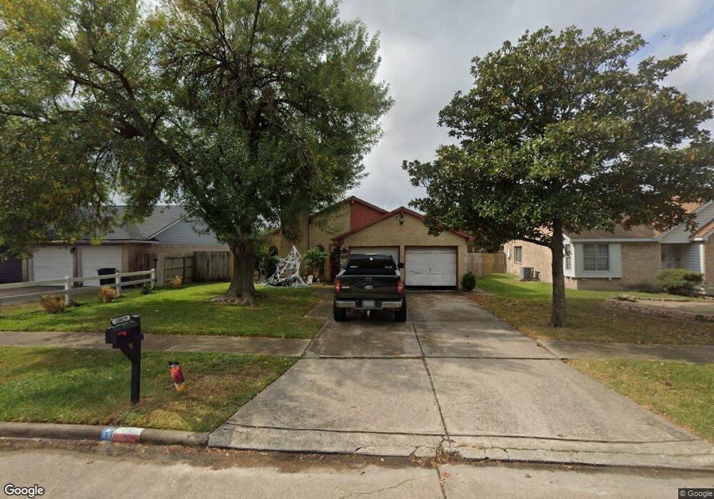
10819 Mackenzie Dr Houston, TX 77086
North Houston NeighborhoodEstimated Value: $197,062 - $242,000
3
Beds
2
Baths
1,266
Sq Ft
$168/Sq Ft
Est. Value
About This Home
This home is located at 10819 Mackenzie Dr, Houston, TX 77086 and is currently estimated at $213,266, approximately $168 per square foot. 10819 Mackenzie Dr is a home located in Harris County with nearby schools including Kujawa EC/Pre-K/K School, Carmichael Elementary School, and Shotwell Middle School.
Ownership History
Date
Name
Owned For
Owner Type
Purchase Details
Closed on
Sep 1, 2006
Sold by
Climaco Estelito F and Climaco Erlinda J
Bought by
Williams Tobias
Current Estimated Value
Home Financials for this Owner
Home Financials are based on the most recent Mortgage that was taken out on this home.
Original Mortgage
$19,500
Outstanding Balance
$11,691
Interest Rate
6.64%
Mortgage Type
Stand Alone Second
Estimated Equity
$201,575
Create a Home Valuation Report for This Property
The Home Valuation Report is an in-depth analysis detailing your home's value as well as a comparison with similar homes in the area
Home Values in the Area
Average Home Value in this Area
Purchase History
| Date | Buyer | Sale Price | Title Company |
|---|---|---|---|
| Williams Tobias | -- | First American Title |
Source: Public Records
Mortgage History
| Date | Status | Borrower | Loan Amount |
|---|---|---|---|
| Open | Williams Tobias | $19,500 | |
| Open | Williams Tobias | $78,000 |
Source: Public Records
Tax History Compared to Growth
Tax History
| Year | Tax Paid | Tax Assessment Tax Assessment Total Assessment is a certain percentage of the fair market value that is determined by local assessors to be the total taxable value of land and additions on the property. | Land | Improvement |
|---|---|---|---|---|
| 2025 | $2,191 | $161,739 | $39,397 | $122,342 |
| 2024 | $2,191 | $159,204 | $39,397 | $119,807 |
| 2023 | $2,191 | $193,702 | $39,397 | $154,305 |
| 2022 | $2,973 | $168,595 | $33,388 | $135,207 |
| 2021 | $2,696 | $139,551 | $33,388 | $106,163 |
| 2020 | $2,725 | $126,096 | $33,388 | $92,708 |
| 2019 | $2,576 | $125,800 | $17,021 | $108,779 |
| 2018 | $675 | $119,718 | $17,021 | $102,697 |
| 2017 | $2,052 | $94,000 | $15,285 | $78,715 |
| 2016 | $1,866 | $100,686 | $15,285 | $85,401 |
| 2015 | $813 | $95,063 | $15,285 | $79,778 |
| 2014 | $813 | $75,917 | $15,285 | $60,632 |
Source: Public Records
Map
Nearby Homes
- 10723 Mackenzie Dr
- 10711 Heather Hill Dr
- 7222 Northleaf Dr
- 10614 Mackenzie Dr
- 7227 Greenyard Dr
- 7218 Winding Trace Dr
- 10307 Bammel North Houston Rd
- 7023 Sandswept Ln
- 7302 Seton Lake Dr
- 7002 Sandswept Ln
- 7307 Silver Star Dr
- 5010 Kale Ct
- 11007 Tobasa Ct
- 5103 Dartmoor Ridge Trail
- 6911 Silver Star Dr
- 6722 Winding Trace Dr
- 11006 Crinkleawn Dr
- 6654 Brownie Campbell Rd
- 6822 Dusty Dawn Dr
- 11021 Crenchrus Ct
- 10815 Mackenzie Dr
- 10823 Mackenzie Dr
- 10811 Mackenzie Dr
- 10818 Mackenzie Dr
- 10807 Mackenzie Dr
- 10814 Mackenzie Dr
- 10822 Mackenzie Dr
- 10903 Mackenzie Dr
- 10810 Mackenzie Dr
- 10826 Mackenzie Dr
- 10803 Mackenzie Dr
- 10806 Mackenzie Dr
- 10902 Mackenzie Dr
- 10907 Mackenzie Dr
- 10807 Heather Hill Dr
- 10811 Heather Hill Dr
- 10731 Mackenzie Dr
- 10802 Mackenzie Dr
- 10803 Heather Hill Dr
- 10906 Mackenzie Dr