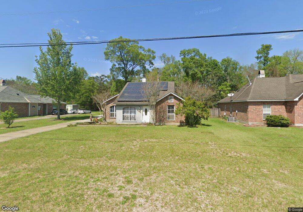
10819 Ray Dr Denham Springs, LA 70706
Estimated Value: $294,000
3
Beds
2
Baths
2,111
Sq Ft
$139/Sq Ft
Est. Value
About This Home
This home is located at 10819 Ray Dr, Denham Springs, LA 70706 and is currently estimated at $294,000, approximately $139 per square foot. 10819 Ray Dr is a home located in Livingston Parish with nearby schools including Live Oak Elementary School, Live Oak Middle School, and Live Oak High School.
Ownership History
Date
Name
Owned For
Owner Type
Purchase Details
Closed on
May 9, 2016
Bought by
Rickard Candace and Rickard Joseph
Current Estimated Value
Home Financials for this Owner
Home Financials are based on the most recent Mortgage that was taken out on this home.
Original Mortgage
$130,189
Outstanding Balance
$103,470
Interest Rate
3.61%
Estimated Equity
$190,530
Purchase Details
Closed on
Aug 28, 2013
Sold by
Rickard Joseph Frank and Rickard Candace Leigh
Bought by
Rickard Joseph Frank and Rickard Candace Leigh
Create a Home Valuation Report for This Property
The Home Valuation Report is an in-depth analysis detailing your home's value as well as a comparison with similar homes in the area
Home Values in the Area
Average Home Value in this Area
Purchase History
| Date | Buyer | Sale Price | Title Company |
|---|---|---|---|
| Rickard Candace | -- | -- | |
| Rickard Joseph Frank | -- | First American Title |
Source: Public Records
Mortgage History
| Date | Status | Borrower | Loan Amount |
|---|---|---|---|
| Open | Rickard Candace | $130,189 | |
| Closed | Rickard Candace | -- |
Source: Public Records
Tax History Compared to Growth
Tax History
| Year | Tax Paid | Tax Assessment Tax Assessment Total Assessment is a certain percentage of the fair market value that is determined by local assessors to be the total taxable value of land and additions on the property. | Land | Improvement |
|---|---|---|---|---|
| 2024 | $2,484 | $21,948 | $1,930 | $20,018 |
| 2023 | $2,084 | $16,020 | $1,930 | $14,090 |
| 2022 | $2,098 | $16,020 | $1,930 | $14,090 |
| 2021 | $1,863 | $16,020 | $1,930 | $14,090 |
| 2020 | $1,854 | $16,020 | $1,930 | $14,090 |
| 2019 | $2,029 | $17,010 | $2,140 | $14,870 |
| 2018 | $2,054 | $17,010 | $2,140 | $14,870 |
| 2017 | $2,097 | $17,010 | $2,140 | $14,870 |
| 2015 | $2,160 | $17,340 | $1,930 | $15,410 |
| 2014 | $2,193 | $17,340 | $1,930 | $15,410 |
Source: Public Records
Map
Nearby Homes
- 36491 Caraway Rd
- 11230 Springfield Rd
- 10345 Springfield Rd
- CC-2-A & B Herman Ernest Rd
- 14079 Oakwilde Dr
- 36219 Fore Rd
- 36991 Oak Haven Dr
- 9293 Springfield Rd
- 9788 Hunter Brook Ln
- 10118 Saray Dr
- 11858 Springfield Rd
- TBD Clinton Allen Rd
- TBD Cryer Rd
- TBD Springfield Rd
- 36035 Raleigh Dr
- 36569 Reinninger Rd
- 36135 Reinninger Rd
- TBD Uti Moore Rd
- 35983 Raleigh Dr
- 36108 Norfolk Ave