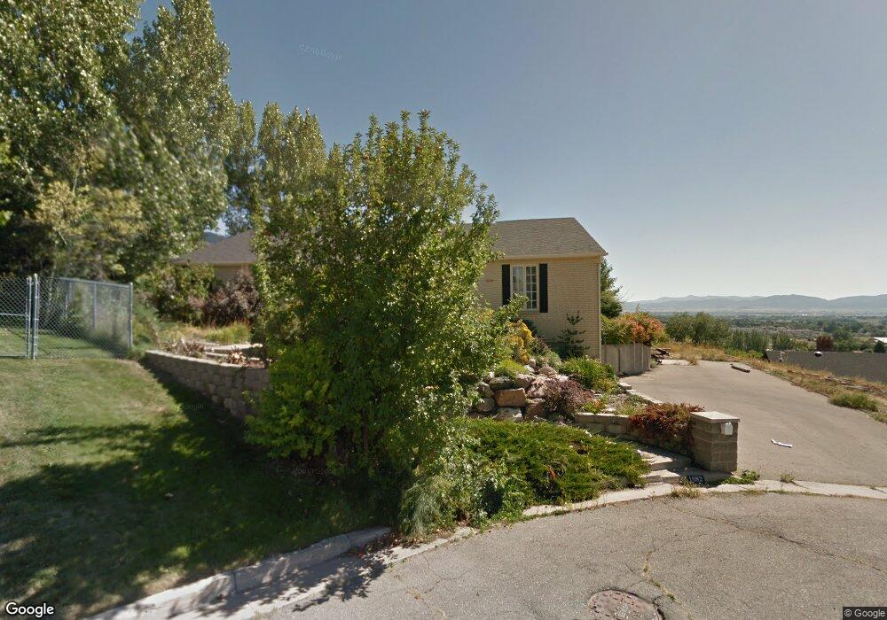
1082 E 100 S Logan, UT 84321
Wilson NeighborhoodEstimated Value: $820,000 - $926,000
7
Beds
4
Baths
4,922
Sq Ft
$178/Sq Ft
Est. Value
About This Home
This home is located at 1082 E 100 S, Logan, UT 84321 and is currently estimated at $875,563, approximately $177 per square foot. 1082 E 100 S is a home located in Cache County with nearby schools including Wilson School, Mount Logan Middle School, and Logan High School.
Ownership History
Date
Name
Owned For
Owner Type
Purchase Details
Closed on
Sep 30, 2020
Sold by
Sealy Lori
Bought by
Oblock Nancy and Caballero Madison
Current Estimated Value
Home Financials for this Owner
Home Financials are based on the most recent Mortgage that was taken out on this home.
Original Mortgage
$439,200
Outstanding Balance
$388,875
Interest Rate
2.9%
Mortgage Type
New Conventional
Estimated Equity
$486,688
Purchase Details
Closed on
Nov 28, 2016
Sold by
Weeks Jonathan and Kerley Sarah E
Bought by
Sealy Lori
Create a Home Valuation Report for This Property
The Home Valuation Report is an in-depth analysis detailing your home's value as well as a comparison with similar homes in the area
Home Values in the Area
Average Home Value in this Area
Purchase History
| Date | Buyer | Sale Price | Title Company |
|---|---|---|---|
| Oblock Nancy | -- | Hickman Land Title Logan | |
| Sealy Lori | -- | Advanced Title |
Source: Public Records
Mortgage History
| Date | Status | Borrower | Loan Amount |
|---|---|---|---|
| Open | Oblock Nancy | $439,200 |
Source: Public Records
Tax History
| Year | Tax Paid | Tax Assessment Tax Assessment Total Assessment is a certain percentage of the fair market value that is determined by local assessors to be the total taxable value of land and additions on the property. | Land | Improvement |
|---|---|---|---|---|
| 2025 | $3,700 | $478,515 | $0 | $0 |
| 2024 | $383 | $479,845 | $0 | $0 |
| 2023 | $3,988 | $476,225 | $0 | $0 |
| 2022 | $3,951 | $440,480 | $0 | $0 |
| 2021 | $3,677 | $633,360 | $75,000 | $558,360 |
| 2020 | $3,485 | $540,300 | $75,000 | $465,300 |
| 2019 | $2,558 | $379,364 | $75,000 | $304,364 |
| 2018 | $2,459 | $332,936 | $75,000 | $257,936 |
| 2017 | $2,215 | $158,565 | $0 | $0 |
| 2016 | $2,296 | $158,565 | $0 | $0 |
| 2015 | $2,299 | $158,565 | $0 | $0 |
| 2014 | $1,808 | $137,975 | $0 | $0 |
| 2013 | -- | $137,975 | $0 | $0 |
Source: Public Records
Map
Nearby Homes
- 1147 Eastridge Dr
- 74 Canterbury Cir
- 128 S 1170 E
- 1164 E Mountain Rd
- 1034 Thrushwood Dr
- 28 River Pointe Dr
- 70 River Pointe Dr
- 1045 Fox Farm Rd
- 1374 E 260 N
- 1387 E 260 N
- 45 River Circle Dr
- 664 E Center St
- 263 E 690 N
- 676 N 275 E Unit 614
- 2758 N Canyon Cove Dr
- 2738 N Canyon Cove Dr
- 579 S 850 E
- 684 Apple Dr
- 1647 E Quail Canyon Dr
- 147 Winding Way Unit 50
- 1115 Lamplighter Dr
- 1144 Eastridge Dr
- 1138 Eastridge Dr
- 1125 Lamplighter Dr
- 1109 Lamplighter Dr
- 1038 E 100 S
- 1063 E 100 S
- 1127 Lamplighter Dr
- 1134 Eastridge Dr
- 1154 Eastridge Dr
- 1101 Lamplighter Dr
- 1131 Lamplighter Dr
- 1130 Eastridge Dr
- 1142 Eastridge Dr
- 1022 E 100 S
- 1015 E 100 S
- 1110 Lamplighter Dr
- 1156 Eastridge Dr
- 1149 Eastridge Dr
- 1097 Lamplighter Dr
Your Personal Tour Guide
Ask me questions while you tour the home.