1082 Howell Rd Doerun, GA 31744
Estimated Value: $84,000 - $304,000
--
Bed
--
Bath
728
Sq Ft
$255/Sq Ft
Est. Value
About This Home
This home is located at 1082 Howell Rd, Doerun, GA 31744 and is currently estimated at $185,394, approximately $254 per square foot. 1082 Howell Rd is a home with nearby schools including Doerun Elementary School, C.A. Gray Junior High School, and Willie J. Williams Middle School.
Ownership History
Date
Name
Owned For
Owner Type
Purchase Details
Closed on
Sep 17, 2014
Sold by
Itson Enterprises Llc
Bought by
Lamb Tommy and Tompkins Lamb Mamie
Current Estimated Value
Purchase Details
Closed on
Apr 2, 2014
Sold by
Edwards Steven
Bought by
Itson Enterprises Llc
Home Financials for this Owner
Home Financials are based on the most recent Mortgage that was taken out on this home.
Original Mortgage
$11,000
Interest Rate
4.33%
Mortgage Type
New Conventional
Purchase Details
Closed on
Mar 29, 1996
Bought by
Edwards Steven R
Create a Home Valuation Report for This Property
The Home Valuation Report is an in-depth analysis detailing your home's value as well as a comparison with similar homes in the area
Home Values in the Area
Average Home Value in this Area
Purchase History
| Date | Buyer | Sale Price | Title Company |
|---|---|---|---|
| Lamb Tommy | $16,500 | -- | |
| Itson Enterprises Llc | $12,000 | -- | |
| Edwards Steven R | $13,000 | -- |
Source: Public Records
Mortgage History
| Date | Status | Borrower | Loan Amount |
|---|---|---|---|
| Previous Owner | Itson Enterprises Llc | $11,000 |
Source: Public Records
Tax History Compared to Growth
Tax History
| Year | Tax Paid | Tax Assessment Tax Assessment Total Assessment is a certain percentage of the fair market value that is determined by local assessors to be the total taxable value of land and additions on the property. | Land | Improvement |
|---|---|---|---|---|
| 2024 | $1,080 | $52,870 | $6,319 | $46,551 |
| 2023 | $1,073 | $35,084 | $6,319 | $28,765 |
| 2022 | $746 | $33,312 | $5,617 | $27,695 |
| 2021 | $814 | $35,527 | $5,617 | $29,910 |
| 2020 | $840 | $33,994 | $5,617 | $28,377 |
| 2019 | $899 | $32,691 | $5,617 | $27,074 |
| 2018 | $836 | $32,691 | $5,617 | $27,074 |
| 2017 | $990 | $36,384 | $9,438 | $26,946 |
| 2016 | $746 | $27,043 | $9,438 | $17,605 |
| 2015 | $184 | $27,043 | $9,438 | $17,605 |
| 2013 | -- | $10,538 | $9,438 | $960 |
Source: Public Records
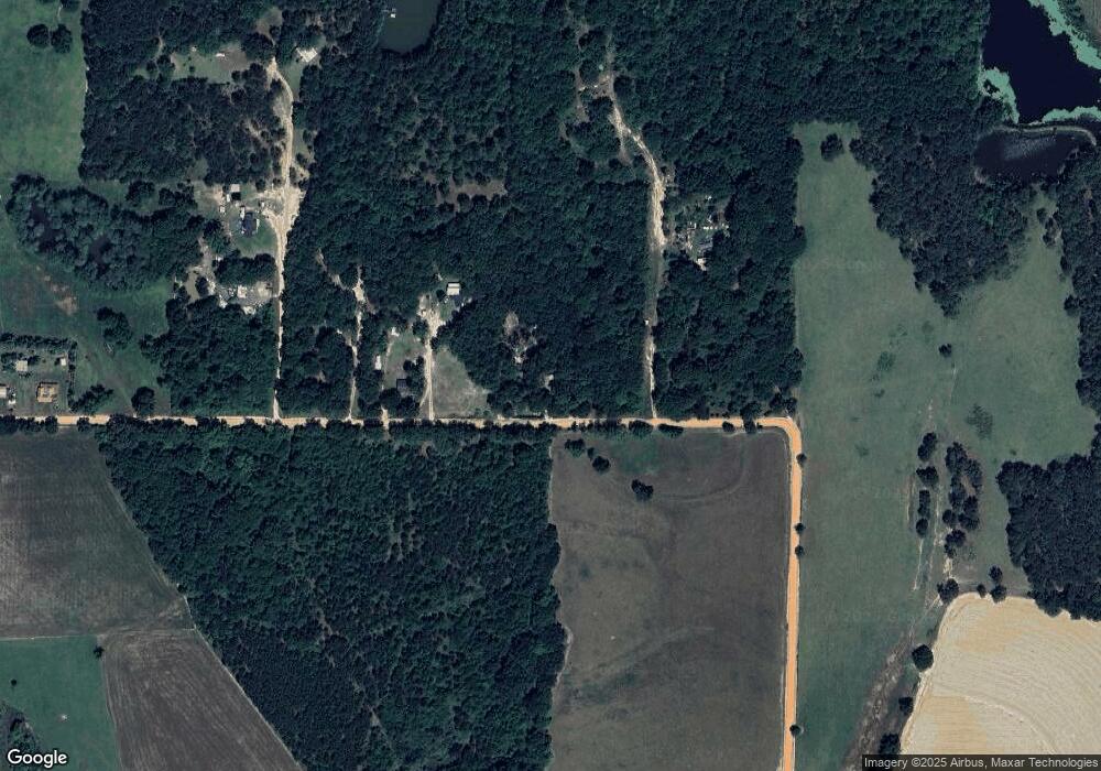
Map
Nearby Homes
- 712 Blackberry Rd
- 0 Brest Station Rd Unit 10642758
- 511 W Broad Ave
- 417 W Bay Ave
- 104 Union Ln
- 155 N Kreuger St
- 318 E Culpepper Ave
- 156 E Maple St
- 9765 Morey Hill Rd
- 4409 Georgia 112
- 340 Bryan Rd
- 9953 Gravel Hill Rd
- 1485 Bay Rd
- 6258 Stage Coach Rd
- 512 Hagin Still Rd
- 0 Pleasant Grove Church Rd
- 1461 Apache Rd
- 201 Worthwood Rd
- 7275 Beulah Ln
- 2780 Georgia 37