1082 Mayfield Ln NE Ranger, GA 30734
Estimated Value: $18,000
--
Bed
--
Bath
--
Sq Ft
2.23
Acres
About This Home
This home is located at 1082 Mayfield Ln NE, Ranger, GA 30734 and is currently estimated at $18,000. 1082 Mayfield Ln NE is a home located in Gordon County with nearby schools including Fairmount Elementary School, Red Bud Middle School, and Sonoraville High School.
Ownership History
Date
Name
Owned For
Owner Type
Purchase Details
Closed on
Sep 16, 2011
Sold by
Circle B Llc
Bought by
Rsst Llc
Current Estimated Value
Purchase Details
Closed on
Aug 26, 2011
Sold by
Suntrust Bank
Bought by
Circle B Llc
Purchase Details
Closed on
Apr 6, 2010
Sold by
Stewart Sean and Stewart Valentine B
Bought by
Suntrust Bank
Purchase Details
Closed on
Dec 21, 2006
Sold by
Talking Rock Partners Llc
Bought by
Stewart Sean and Stewart Valentine B
Purchase Details
Closed on
May 17, 2004
Sold by
Flint Timber L P
Bought by
Talking Rock Partners Llc
Purchase Details
Closed on
May 24, 2002
Sold by
Appalacian Heritage Comm Inc
Bought by
Flint Timber L P
Create a Home Valuation Report for This Property
The Home Valuation Report is an in-depth analysis detailing your home's value as well as a comparison with similar homes in the area
Home Values in the Area
Average Home Value in this Area
Purchase History
| Date | Buyer | Sale Price | Title Company |
|---|---|---|---|
| Rsst Llc | -- | -- | |
| Circle B Llc | -- | -- | |
| Suntrust Bank | -- | -- | |
| Stewart Sean | $51,000 | -- | |
| Talking Rock Partners Llc | -- | -- | |
| Flint Timber L P | -- | -- |
Source: Public Records
Tax History Compared to Growth
Tax History
| Year | Tax Paid | Tax Assessment Tax Assessment Total Assessment is a certain percentage of the fair market value that is determined by local assessors to be the total taxable value of land and additions on the property. | Land | Improvement |
|---|---|---|---|---|
| 2024 | $67 | $2,640 | $2,640 | $0 |
| 2023 | $64 | $2,520 | $2,520 | $0 |
| 2022 | $65 | $2,400 | $2,400 | $0 |
| 2021 | $67 | $2,400 | $2,400 | $0 |
| 2020 | $69 | $2,400 | $2,400 | $0 |
| 2019 | $69 | $2,400 | $2,400 | $0 |
| 2018 | $69 | $2,400 | $2,400 | $0 |
| 2017 | $71 | $2,400 | $2,400 | $0 |
| 2016 | $59 | $2,000 | $2,000 | $0 |
| 2015 | $60 | $2,000 | $2,000 | $0 |
| 2014 | $58 | $2,000 | $2,000 | $0 |
Source: Public Records
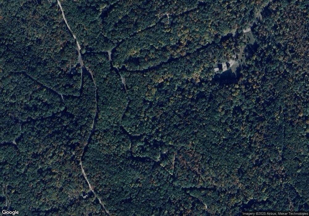
Map
Nearby Homes
- 55 Muslin Dr NE
- 1092 Fern Ct
- 92 Muslin Dr NE
- 88 Muslin Dr NE
- 1094 Mayfield Ln NE
- 1088 Mayfield Ln NE
- 1087 Mayfield Ln NE
- 1020 Mayfield Ln NE
- 1058 Mayfield Ln NE
- 1096 Gable Dr
- 32 Antler Ct Unit 2
- 32 Antler Ct
- 52 Grizzley Ct
- 1071 Mayfield Ln NE
- 25 Adair Dr
- 39 Adair Dr NE
- 185 Stirratt Rd
- 234 Stirratt Rd
- 1135 Embry Ct
- 1144 Embry Ct
- 1080 Mayfield Ln NE
- 0 Adair Dr Unit 114/115 3278199
- 0 Adair Dr Unit 301317
- 0 Adair Dr Unit 98613
- 0 Adair Dr Unit 7249708
- 0 Adair Dr Unit 8015276
- 0 Adair Dr Unit 7328541
- 0 Adair Dr Unit 8374009
- 0 Adair Dr Unit 8466375
- 0 Adair Dr Unit 8921930
- 0 Adair Dr Unit 8922388
- 0 Adair Dr Unit 8872205
- 0 Adair Dr Unit 6794530
- 1090 Mayfield Ln NE
- LOT25R Adair Dr
- 1077 Mayfield Ln NE
- 0 Elk Trail Unit 1760A 20082464
- 37 Adair Dr NE
- 54 Muslin Dr NE
- 17 Adair Dr NE