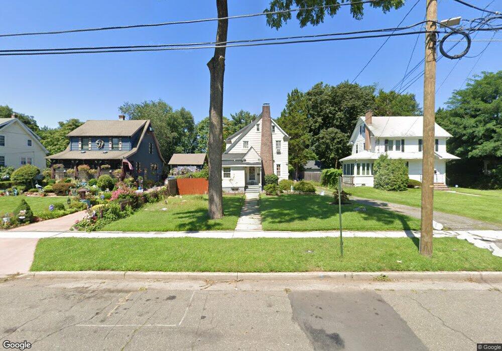
1082 Sherman Ave South Plainfield, NJ 07080
Estimated Value: $400,392 - $646,000
--
Bed
--
Bath
--
Sq Ft
0.36
Acres
About This Home
This home is located at 1082 Sherman Ave, South Plainfield, NJ 07080 and is currently estimated at $525,848. 1082 Sherman Ave is a home located in Middlesex County with nearby schools including South Plainfield High School, The Queen City Academy Charter School, and Koinonia Academy.
Ownership History
Date
Name
Owned For
Owner Type
Purchase Details
Closed on
May 12, 2025
Sold by
Toca Marco and Toca Silvia
Bought by
Toca Marco and Toca Silvia M
Current Estimated Value
Purchase Details
Closed on
Dec 27, 2001
Purchase Details
Closed on
Dec 10, 1999
Sold by
Arbelaez Bernardo
Bought by
Toca Marco and Siliva Toca
Home Financials for this Owner
Home Financials are based on the most recent Mortgage that was taken out on this home.
Original Mortgage
$120,000
Interest Rate
7.79%
Create a Home Valuation Report for This Property
The Home Valuation Report is an in-depth analysis detailing your home's value as well as a comparison with similar homes in the area
Home Values in the Area
Average Home Value in this Area
Purchase History
| Date | Buyer | Sale Price | Title Company |
|---|---|---|---|
| Toca Marco | -- | None Listed On Document | |
| Toca Marco | -- | None Listed On Document | |
| -- | -- | -- | |
| Toca Marco | $124,000 | -- |
Source: Public Records
Mortgage History
| Date | Status | Borrower | Loan Amount |
|---|---|---|---|
| Previous Owner | Toca Marco | $120,000 |
Source: Public Records
Tax History Compared to Growth
Tax History
| Year | Tax Paid | Tax Assessment Tax Assessment Total Assessment is a certain percentage of the fair market value that is determined by local assessors to be the total taxable value of land and additions on the property. | Land | Improvement |
|---|---|---|---|---|
| 2025 | $6,270 | $89,800 | $28,100 | $61,700 |
| 2024 | $5,997 | $89,800 | $28,100 | $61,700 |
| 2023 | $5,997 | $89,800 | $28,100 | $61,700 |
| 2022 | $5,922 | $89,800 | $28,100 | $61,700 |
| 2021 | $5,783 | $89,800 | $28,100 | $61,700 |
| 2020 | $5,699 | $89,800 | $28,100 | $61,700 |
| 2019 | $5,468 | $89,800 | $28,100 | $61,700 |
| 2018 | $5,327 | $89,800 | $28,100 | $61,700 |
| 2017 | $5,259 | $89,800 | $28,100 | $61,700 |
| 2016 | $5,206 | $89,800 | $28,100 | $61,700 |
| 2015 | $5,116 | $89,800 | $28,100 | $61,700 |
| 2014 | $4,969 | $89,800 | $28,100 | $61,700 |
Source: Public Records
Map
Nearby Homes
- 139 Palmer Ave
- 824 Monroe Ave Unit 26
- 917 Tompkins Ave
- 1210 Maltby Ave
- 1154 Foster Ave
- 925 Stelle Ave Unit 27
- 916 Sherman Ave
- 909 Sherman Ave
- 1227 W 6th St
- 946 W 7th St Unit 48
- 1221 Grant Ave Unit 23
- 950 W 6th St Unit 52
- 525 Trinity St
- 105 Elizabethtown Ct
- 1211 S 9th St
- 1205 S 10th St
- 1212 Mcdonough St
- 333 Mcdowell St Unit 35
- 1453 Tooz Place
- 746 Stelle Ave Unit 50
- 1088 Sherman Ave
- 1076 Sherman Ave
- 1092 Sherman Ave
- 1070 Sherman Ave
- 1070 Sherman Ave
- 1096 Sherman Ave
- 1064 Sherman Ave
- 1100 Sherman Ave
- 1127 W 8th St
- 1125 W 8th St
- 1089 Sherman Ave
- 1058 Sherman Ave
- 1135 W 8th St
- 1117 W 8th St Unit 21
- 1106 Sherman Ave
- 1083 Sherman Ave
- 1111 W 8th St Unit 15
- 1105 W 8th St Unit 9
- 1097 Sherman Ave
- 1137 W 8th St